Elk Mountain
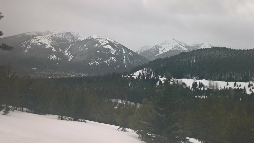 Photo: JimsFlicker, CC BY 2.0 (via Flickr)
- 2.3 mi
- round trip
- 3,050 ft
- climb
- 7,785 ft
- high point
- Out and back
- route
Is Elk Mountain open right now?
Closure in the area
There's a closure order in Glacier National Park. It doesn't name Elk Mountain, so check the source for the area it covers.
Going-to-the-Sun Road Seasonal Closure
Park closure covering Glacier National Park · NPS · Glacier National Park
As of · Source: NPS · Glacier National Park. Agencies don't list every closure — check before you go.
Elk Mountain is a hard out-and-back hike in Glacier National Park in Montana, managed by the National Park Service. The route is about 4.6 miles long, with a total elevation gain of about 3,050 feet, and it starts and ends at roughly 4,783 feet. The climb is front-loaded, with the steepest stretch at about 0.98 miles in, where the grade reaches 48 percent. The high point is 7,785 feet. The trip takes about three hours. Plan for a long day, with the most of the climb coming early. The route is a round trip, so the total gain and loss are both about 3,050 feet. Bear Creek, a canoeing spot, is about 1.2 miles away. Devil Creek Campground and Zips Place Cabin are both within about 2.6 miles. Giefer Creek, another hike, is about 2.8 miles off.
Local outfitters
- North American RV Park & Yurt Village29 mi away
- Rocky Mountain Outfitter40 mi away
Not on Roamze yet. Their page has how to reach them.
Conditions and forecast on Elk Mountain
Daily highs and lows, wind and the chance of precipitation at the summit and route start for the next 7 days, from the Open-Meteo model.
- Bear CreekCanoeing1.2 mi
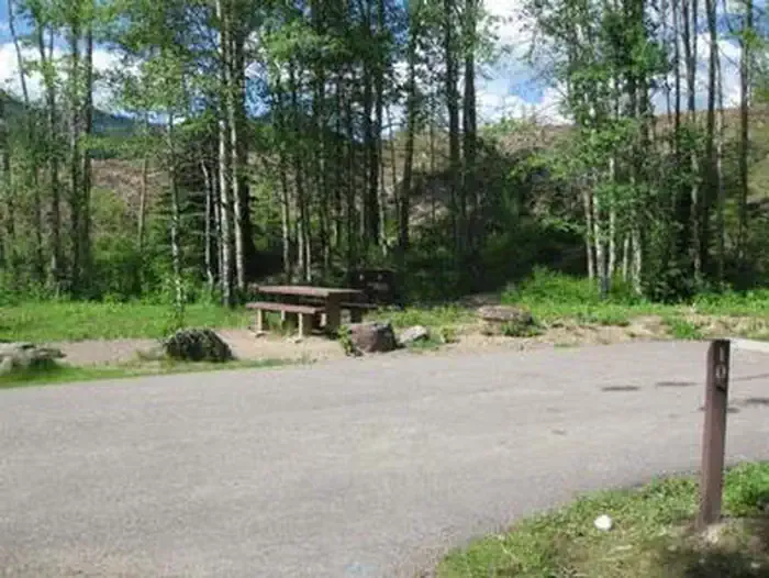 Devil Creek CampgroundCampingPhoto: Recreation.gov (RIDB) / public domain2.4 mi
- Zips Place CabinCamping2.6 mi
- Giefer CreekHiking2.8 mi
- Snake LoopHiking2.8 mi
- Devil CreekHiking3.3 mi
- Skyland SmCross-country skiing3.7 mi
- Summit CgCamping5.4 mi
Source: Roamze catalog (indexable pages within 10 miles, PostGIS distance)
 Autumn CreekHiking · ~8 min drivePhoto: w_lemay, CC BY-SA 2.0 (via Flickr)
 ScalplockHiking · ~11 min drivePhoto: Forest Service - Northern Region, Public Domain Mark (via Flickr)
 Kraigs Trail-Pike CrHiking · ~11 min drivePhoto: Loco Steve, CC BY 3.0 (via Wikimedia Commons)
- Park CreekHiking · ~12 min drivePhoto: Forest Service - Northern Region, Public Domain Mark (via Flickr)
- Grizzly CreekHiking · ~7 min drive
 Java CreekHiking · ~12 min drivePhoto: Loco Steve, CC BY 3.0 (via Wikimedia Commons)
- SUMMIT TH CONNECTORHiking · ~12 min drivePhoto: Loco Steve, CC BY 3.0 (via Wikimedia Commons)
 Ole CreekHiking · ~10 min drivePhoto: GlacierNPS, Public Domain Mark (via Flickr)
- Lake IsabelHiking · ~15 min drive
- Devil CreekHiking · ~6 min drive
Route details
- Distance
- 2.3 mi round trip
- Climbing
- About 3,050 ft
- Summit
- 7,841 ft
- Difficulty
- Hard
- Time
- About 2.5 hours
Questions about this route
How long is the Elk Mountain on Elk Mountain?
About 2.3 mi round trip.
How much elevation gain is on the Elk Mountain?
About 3,050 ft of climbing round trip.
How hard is the Elk Mountain?
It is rated hard.
How long does the Elk Mountain take?
About 2.5 hours round trip.
Map and trail data © OpenStreetMap contributors
