Moser Road 6212 G15
Campground
Campground · 3.5 mi from the trail
Triple Tree Summit Trail is a 5.4-mile out-and-back hike in Montana, about 2.7 miles from the town of Patterson. The trail climbs from a starting elevation of about 5,379 feet to the summit at 5,901 feet, with a total elevation gain of 1,907 feet over the round trip. The one-way climb is roughly 986 feet, and the route is rated moderate. Summer is the most comfortable time to go. Typical averages from a nearby weather station in Bozeman show July highs around 82°F with lows near 52°F, and snow is common from November through April. That station sits roughly 1,000 feet below the summit, so temperatures up high run cooler. The trip takes about three hours. Triple Tree Trail and Painted Hills Trail both lie within a couple of miles. Bear Canyon, a climbing area, is about 3.4 miles away, and the Bozeman District fishing area is about 5.8 miles off.
Moser Road 6212 G15
Campground
Places © OpenStreetMap contributors
More in EmigrantNot on Roamze yet. Their page has how to reach them.
 Triple Tree TrailHikingPhoto: Matt Lavin, CC BY-SA 2.0 (via Flickr)1 mi
 Painted Hills TrailHikingPhoto: Matt Lavin, CC BY-SA 2.0 (via Flickr)2 mi
 East Gallatin RiverCanoeingPhoto: Mike Cline, Public domain (via Wikimedia Commons)7.6 mi
Source: Roamze catalog (indexable pages within 10 miles, PostGIS distance)
Triple Tree TrailHiking · ~2 min drivePhoto: Matt Lavin, CC BY-SA 2.0 (via Flickr)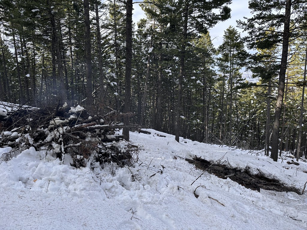 Leverich CanyonHiking · ~5 min drivePhoto: Forest Service - Northern Region, Public Domain Mark (via Flickr)Kirk HillHiking · ~6 min drivePhoto: Forest Service - Northern Region, Public Domain Mark (via Flickr)
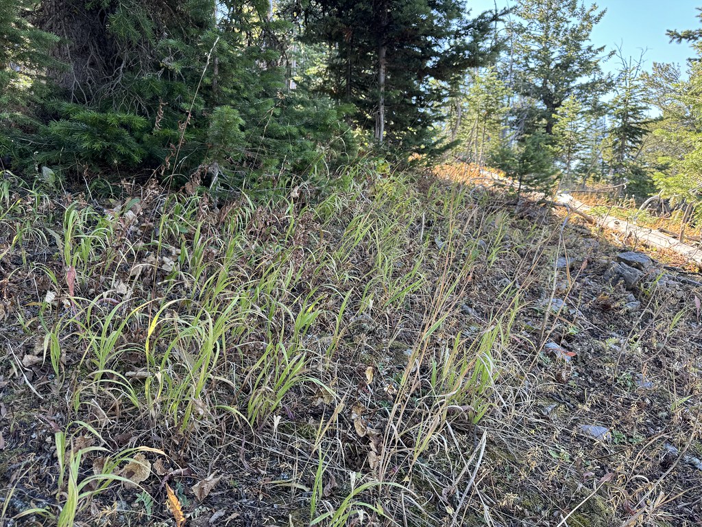 New World GulchHiking · ~7 min drivePhoto: Matt Lavin, CC BY-SA 2.0 (via Flickr)Painted Hills TrailHiking · ~3 min drivePhoto: Matt Lavin, CC BY-SA 2.0 (via Flickr)
 Chestnut MountainHiking · ~9 min drivePhoto: Matt Lavin, CC BY-SA 2.0 (via Flickr)
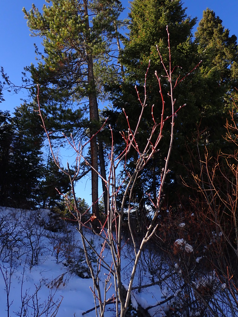 MoonshineHiking · ~6 min drivePhoto: Matt Lavin, CC BY-SA 2.0 (via Flickr)
 Sourdough TrailHiking · ~4 min drivePhoto: Matt Lavin, CC BY-SA 2.0 (via Flickr)
 Bridger FoothillsHiking · ~13 min drivePhoto: Matt Lavin, CC BY-SA 2.0 (via Flickr)
 WestshoreHiking · ~15 min drivePhoto: Matt Lavin, CC BY-SA 2.0 (via Flickr)
Best months: July–September. Best months have typical highs of 55–85 °F, lows of 30 °F or warmer (32 °F where the station doesn't record snow), at most one snowy day and no more than 12 wet days.
Jan
34° / 15°
11 wet · 9 snow
Feb
37° / 17°
10 wet · 8 snow
Mar
46° / 24°
12 wet · 9 snow
Apr
54° / 30°
13 wet · 6 snow
May
63° / 39°
15 wet · 2 snow
Jun
72° / 46°
15 wet
Jul
82° / 52°
11 wet
Aug
81° / 50°
10 wet
Sep
71° / 42°
9 wet · 1 snow
Oct
57° / 32°
10 wet · 3 snow
Nov
42° / 22°
10 wet · 7 snow
Dec
33° / 14°
11 wet · 9 snow
Typical high / low (°F) and days with rain or snow, 1991–2020. Measured at Bozeman Montana State Univ, MT, 4 mi away at 4,913 ft. The station sits about 1,000 ft lower than this place, so expect it a little cooler here. Source: NOAA NCEI U.S. Climate Normals 1991–2020.
Map and trail data © OpenStreetMap contributors
