Sunrise Campground
Campground
Campground · 2.4 mi from the trail
 Photo: Matt Lavin, CC BY-SA 2.0 (via Flickr)
Sourdough Trail is an easy, short out-and-back hike in Montana, about half a mile long and sitting on city land. The trail's highest point is about 4975 feet, and the climb is almost flat, with a total gain of 42 feet over the round trip. The route starts at nearly the same elevation as its high point, so the walk is a gentle stroll rather than a climb. Summer is the most comfortable time to go. At a nearby weather station in Bozeman, typical July averages run to a high of 82°F and a low of 52°F. Winters are cold and snowy, with January highs around 34°F and snow on about nine days that month. The trip takes about half an hour, so it works well as a quick stop. The SMS Trail and the Painted Hills Trail are both within about a mile. For more time outdoors, Bozeman District offers lake fishing about 3.4 miles away, and Lower Hyalite campground is about 5.5 miles out.
Sunrise Campground
Campground
Places © OpenStreetMap contributors, Places © Overture Maps Foundation
More in EmigrantNot on Roamze yet. Their page has how to reach them.
 Painted Hills TrailHikingPhoto: Matt Lavin, CC BY-SA 2.0 (via Flickr)1.1 mi
 East Gallatin RiverCanoeingPhoto: Mike Cline, Public domain (via Wikimedia Commons)5.3 mi
Source: Roamze catalog (indexable pages within 10 miles, PostGIS distance)
Painted Hills TrailHiking · ~2 min drivePhoto: Matt Lavin, CC BY-SA 2.0 (via Flickr)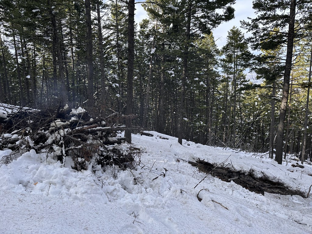 Leverich CanyonHiking · ~7 min drivePhoto: Forest Service - Northern Region, Public Domain Mark (via Flickr)Kirk HillHiking · ~7 min drivePhoto: Forest Service - Northern Region, Public Domain Mark (via Flickr)
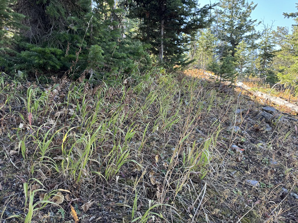 New World GulchHiking · ~11 min drivePhoto: Matt Lavin, CC BY-SA 2.0 (via Flickr)
 Triple Tree TrailHiking · ~4 min drivePhoto: Matt Lavin, CC BY-SA 2.0 (via Flickr)
 Chestnut MountainHiking · ~12 min drivePhoto: Matt Lavin, CC BY-SA 2.0 (via Flickr)
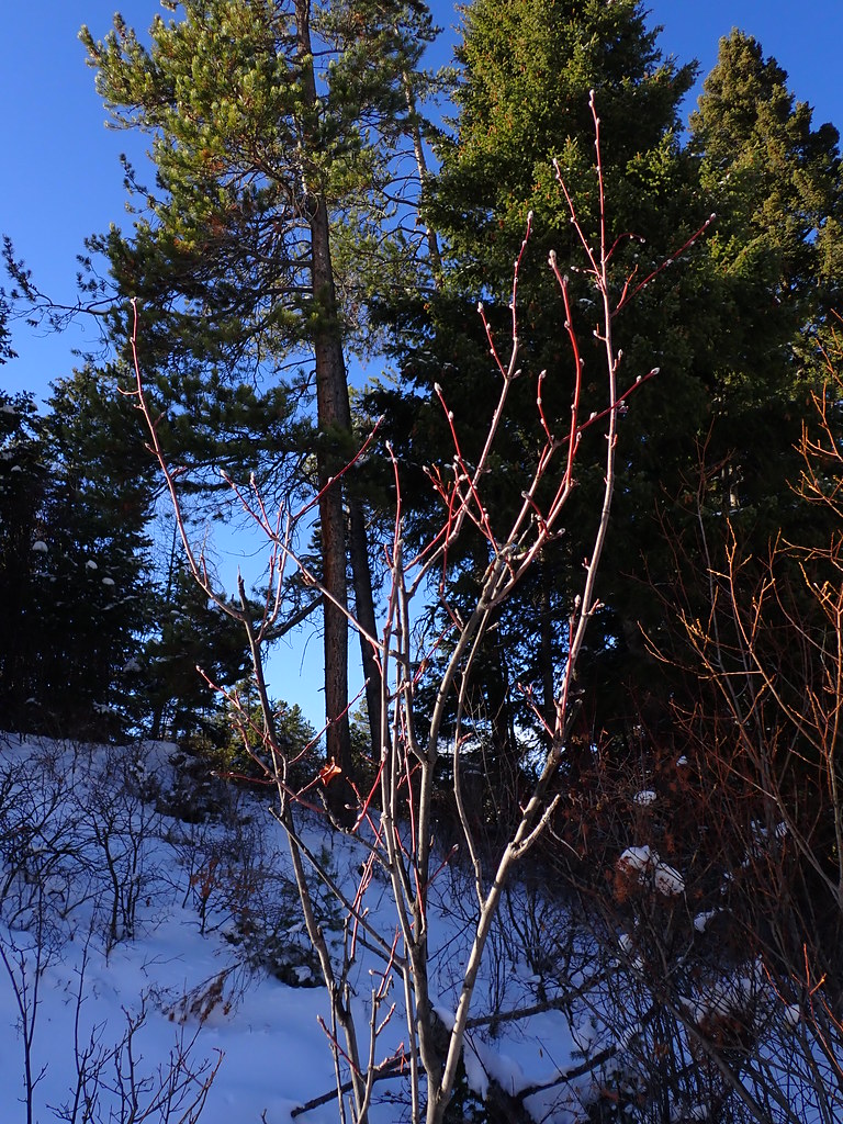 MoonshineHiking · ~10 min drivePhoto: Matt Lavin, CC BY-SA 2.0 (via Flickr)
 Drinking Horse MountainHiking · ~9 min drivePhoto: Don Henise, CC BY 2.0 (via Flickr)
 Bridger FoothillsHiking · ~10 min drivePhoto: Matt Lavin, CC BY-SA 2.0 (via Flickr)
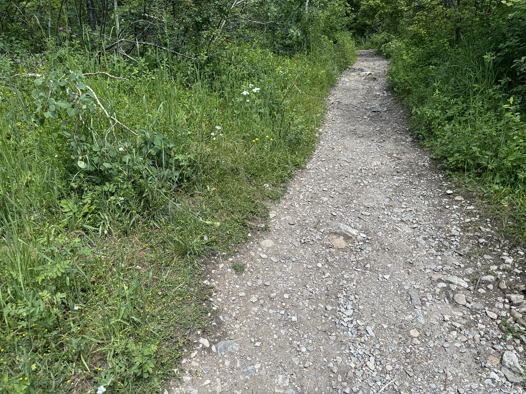 Middle Cottonwood TrailHiking · ~15 min drivePhoto: Matt Lavin, CC BY-SA 2.0 (via Flickr)
Best months: July–September. Best months have typical highs of 55–85 °F, lows of 30 °F or warmer (32 °F where the station doesn't record snow), at most one snowy day and no more than 12 wet days.
Jan
34° / 15°
11 wet · 9 snow
Feb
37° / 17°
10 wet · 8 snow
Mar
46° / 24°
12 wet · 9 snow
Apr
54° / 30°
13 wet · 6 snow
May
63° / 39°
15 wet · 2 snow
Jun
72° / 46°
15 wet
Jul
82° / 52°
11 wet
Aug
81° / 50°
10 wet
Sep
71° / 42°
9 wet · 1 snow
Oct
57° / 32°
10 wet · 3 snow
Nov
42° / 22°
10 wet · 7 snow
Dec
33° / 14°
11 wet · 9 snow
Typical high / low (°F) and days with rain or snow, 1991–2020. Measured at Bozeman Montana State Univ, MT, 1.5 mi away at 4,913 ft. Source: NOAA NCEI U.S. Climate Normals 1991–2020.
Map and trail data © OpenStreetMap contributors
