Bear Canyon Campground
Campground
Campground · 3.6 mi from the trail
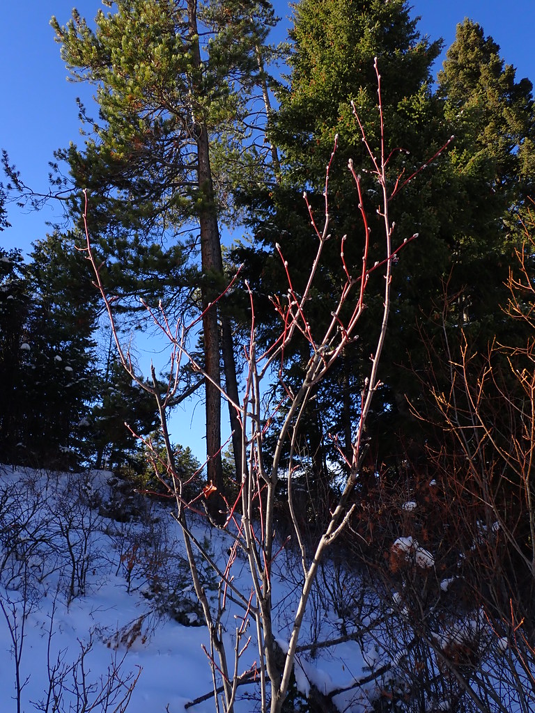 Photo: Matt Lavin, CC BY-SA 2.0 (via Flickr)
Moonshine is a 4.5-mile out-and-back hike in Montana's Forest Service lands, about 4 miles from the town of Chestnut. The trail rises from 5,633 feet to 6,734 feet, a gain of about 1,100 feet, and is rated moderate. The route is natural-surfaced and open to both horses and bikes, so it works for riders and pack animals as well as hikers. It stays open year-round, and the nearest town makes it an easy base for supplies. Summer is the most comfortable time to go. Typical averages from a nearby weather station at Big Sky show July highs around 78°F with lows near 41°F, while winter highs sit in the 20s and 30s. The trail sits right beside other outdoor options. New World Gulch, a ski touring area, is about 0.1 mile away, and the Bear Canyon climbing area is about 0.2 mile off. Chestnut Mountain is about 2.7 miles away, and Mystic Lake Cabin offers camping about 4 miles out.
Bear Canyon Campground
Campground
Blacksmith Italian
Restaurant
Places © OpenStreetMap contributors
More in EmigrantNot on Roamze yet. Their page has how to reach them.
Best months: July–September. Best months have typical highs of 55–85 °F, lows of 30 °F or warmer (32 °F where the station doesn't record snow), at most one snowy day and no more than 12 wet days.
Jan
30° / 9°
13 wet
Feb
34° / 9°
11 wet
Mar
42° / 17°
12 wet
Apr
48° / 23°
11 wet
May
58° / 30°
14 wet
Jun
67° / 36°
14 wet
Jul
78° / 41°
11 wet
Aug
77° / 39°
11 wet
Sep
68° / 33°
10 wet
Oct
53° / 25°
10 wet
Nov
37° / 16°
11 wet
Dec
27° / 9°
14 wet
Typical high / low (°F) and days with rain or snow, 1991–2020. Measured at Big Sky 2wnw, MT, 29.3 mi away at 6,590 ft. This station doesn't record snowfall. Source: NOAA NCEI U.S. Climate Normals 1991–2020.
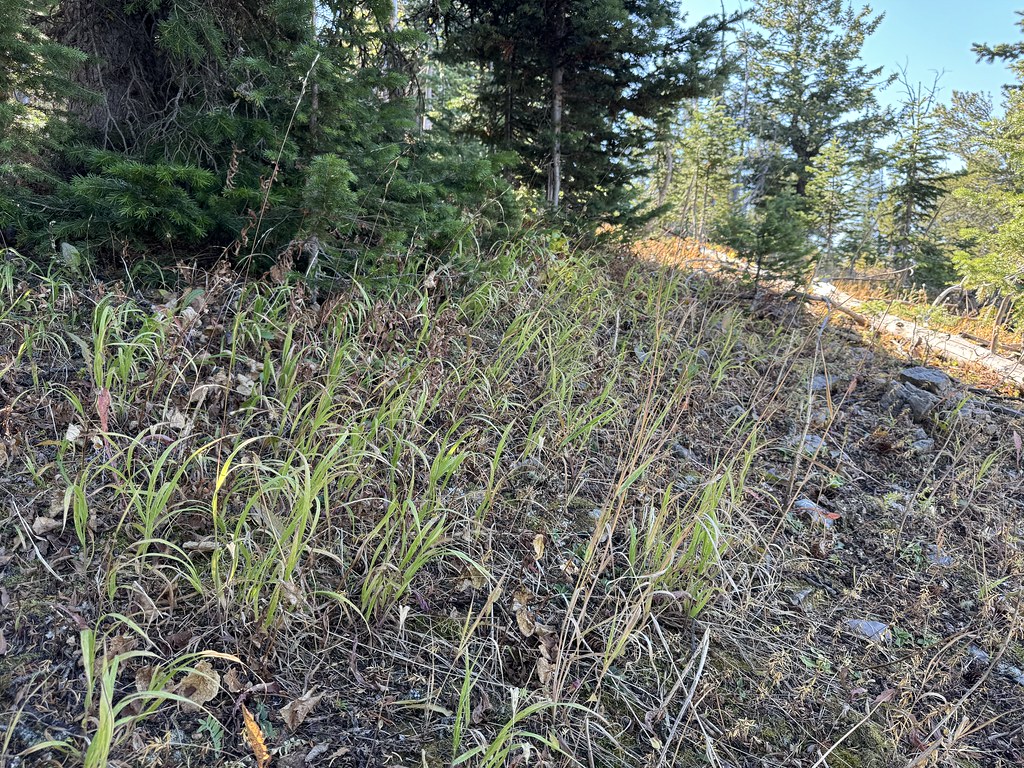 Photo: Matt Lavin, CC BY-SA 2.0 (via Flickr)
New World Gulch
~2 min drive
11.04-mile out-and-back trail in Montana with 2,025 ft gain.
 Photo: Matt Lavin, CC BY-SA 2.0 (via Flickr)
Chestnut Mountain
~5 min drive
14.50-mile out-and-back trail at Chestnut Mountain in Montana
Photo: Matt Lavin, CC BY-SA 2.0 (via Flickr)East Crags Trail
~6 min drive
0.94-mile out-and-back trail in Montana with 554 ft elevation gain.
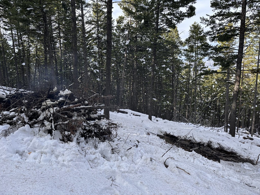 Photo: Forest Service - Northern Region, Public Domain Mark (via Flickr)
Kirk Hill
~11 min drive
4.00-mile out-and-back trail in Montana with 769 ft elevation gain.
Photo: Forest Service - Northern Region, Public Domain Mark (via Flickr)Leverich Canyon
~9 min drive
4.98-mile loop trail in Leverich Canyon, Montana with 1,098 ft elevation gain.
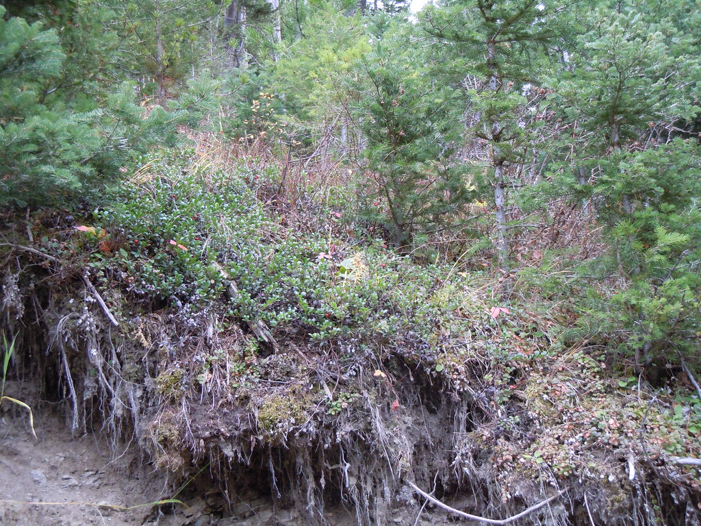 Photo: Matt Lavin, CC BY-SA 2.0 (via Flickr)
Frog Rock
~6 min drive
1.84-mile out-and-back trail with 63 ft gain in Montana.
 Photo: Forest Service - Northern Region, Public Domain Mark (via Flickr)
Lower Wildhorse Lick Trail
~13 min drive
8.52-mile out-and-back trail in Montana with 1,661 ft elevation gain
 Photo: Matt Lavin, CC BY-SA 2.0 (via Flickr)
Hyalite Canyon
~14 min drive
10.53-mile out-and-back trail in Montana with 323 ft elevation gain.
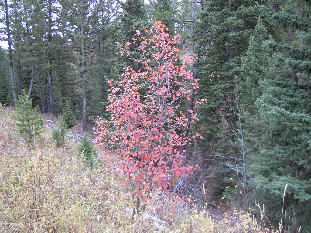 Photo: Matt Lavin, CC BY-SA 2.0 (via Flickr)
Rocky Canyon
~7 min drive
2.47-mile out-and-back trail in Rocky Canyon, Montana with 338 ft gain.
Photo: Matt Lavin, CC BY-SA 2.0 (via Flickr)Westshore
~14 min drive
5.99-mile out-and-back trail in Montana with 130 ft of elevation gain.
Also worth it near here
