Tally Ridge
- 4.7 mi
- round trip
- 770 ft
- climb
- 4,584 ft
- high point
- Out and back
- route
Is Tally Ridge open right now?
Alert in the area
The Forest Service lists 5 alerts for Flathead National Forest.
Camp Creek Fire Updated Trail Closure
Agency alert covering Flathead National Forest · Order 01-10- · USFS · Flathead National Forest
FK&L Area Closed to Public Access Starting July 22, 2026
Agency alert covering Flathead National Forest · Order 01-10- · USFS · Flathead National Forest
Trail 800 Tally-Ashely Closure
Agency alert covering Flathead National Forest · Order 01-10- · USFS · Flathead National Forest
Ryan Creek Occupancy and Use Order
Agency alert covering Flathead National Forest · Order 1-10- · USFS · Flathead National Forest
Logan Creek Hoke Creek Closure
Agency alert covering Flathead National Forest · Order 01-10- · USFS · Flathead National Forest
As of · Source: USFS · Flathead National Forest. Agencies don't list every closure — check before you go.
Tally Ridge is a 4.7-mile out-and-back hike in Montana's Flathead National Forest, within the Tally Lake Ranger District. The trail rises from about 3,758 feet to a high point of about 4,584 feet, a total climb of about 770 feet, and is rated hard. The Forest Service manages the land. Bikes are allowed, and the trail is a natural surface, so no pavement or developed path. Summer and early fall are the most comfortable times to go. Typical averages from a nearby weather station in Whitefish, at about 3,100 feet, run from highs near 81°F in July to around 69°F in September, with July and August the driest months. That station sits roughly 1,500 feet below the trail, so temperatures on the ridge run cooler. The trail is open from about June 1 to October 31. Parking is at a site labeled 2912-2. Stovepipe Canyon lies about half a mile away, and Boney Gulch is about 1.5 miles off. Tally Lake Campground and Tally Lake Overlook are both about 3.4 miles from the trail.
Local outfitters
- Rocky Mountain Outfitter16 mi away
- North American RV Park & Yurt Village22 mi away
Not on Roamze yet. Their page has how to reach them.
- Stovepipe CanyonHiking0.5 mi
- Boney GulchHiking1.5 mi
- Tally GorgeHiking3.1 mi
- Tally- AshleyHiking3.2 mi
- Tally Lake OverlookHiking3.4 mi
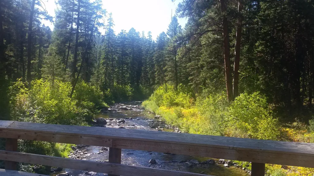 Tally Lake CampgroundCampingPhoto: Recreation.gov (RIDB) / public domain3.4 mi
- ROUND MEADOW LOOPHiking4.5 mi
- Star Meadows Guard StationCamping8.7 mi
Source: Roamze catalog (indexable pages within 10 miles, PostGIS distance)
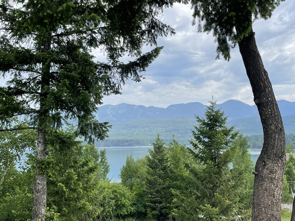 State Park Shared Use PathHiking · ~13 min drivePhoto: cjennr76, CC BY 2.0 (via Flickr)
- Boney GulchHiking · ~3 min drive
- Tally- AshleyHiking · ~5 min drive
- Whitefish Trail - Skyles ConnectionHiking · ~9 min drive
 Fish Trails Bike and Pedestrian PathHiking · ~14 min drivePhoto: cjennr76, CC BY 2.0 (via Flickr)
- Tally GorgeHiking · ~5 min drive
- Stovepipe CanyonHiking · Next door
- Tally Lake OverlookHiking · ~6 min drive
- Spencer Trails - Big Gulps, Eh?Hiking · ~8 min drive
- ROUND MEADOW LOOPHiking · ~8 min drive
Also worth it near here
