Road 913-16b Beach Site
Campground
Campground · 1.4 mi from the trail
Caution at last check
Agency alerts are in effect for this area; weather is marginal · USFS, OpenWeather · checked 19 h ago
Alert in the area
The Forest Service lists 6 alerts for Flathead National Forest.
Ashley Lake North Campground Closure
Agency alert covering Flathead National Forest · Order 01-10- · USFS · Flathead National Forest
Camp Creek Fire Updated Trail Closure
Agency alert covering Flathead National Forest · Order 01-10- · USFS · Flathead National Forest
FK&L Area Closed to Public Access Starting July 22, 2026
Agency alert covering Flathead National Forest · Order 01-10- · USFS · Flathead National Forest
Trail 800 Tally-Ashely Closure
Agency alert covering Flathead National Forest · Order 01-10- · USFS · Flathead National Forest
Ryan Creek Occupancy and Use Order
Agency alert covering Flathead National Forest · Order 1-10- · USFS · Flathead National Forest
As of · Source: USFS · Flathead National Forest. Agencies don't list every closure — check before you go.
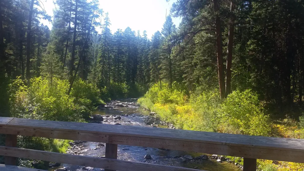
Stovepipe Canyon is an easy out-and-back hike of about 2.7 miles in Montana's Flathead National Forest, within the Tally Lake Ranger District. The route rises from a low point of 3,351 feet to a high of 3,760 feet, with a total elevation gain of 117 feet. The Forest Service manages the surrounding land, and the trail's natural surface and low climb make it a straightforward outing. Summer and early fall are the most comfortable times to go. Typical averages from the Whitefish weather station, about 7 miles away, show July highs around 81°F and September highs near 69°F, with snow common from November through April. The trail is open seasonally from June 1 to October 31. The trailhead is listed as "196 TRAIL HEAD," and the route is open to bikes. Tally Ridge lies about half a mile away, and Tally Lake Campground is roughly 3.7 miles off. Boney Gulch and Tally Gorge are also close by.
Road 913-16b Beach Site
Campground
Dick Idol Signature Gallery
Gallery
Places © OpenStreetMap contributors, Places © Overture Maps Foundation
More in WhitefishNot on Roamze yet. Their page has how to reach them.
 Tally Lake CampgroundCampingPhoto: Recreation.gov (RIDB) / public domain3.7 mi
Source: Roamze catalog (indexable pages within 10 miles, PostGIS distance)
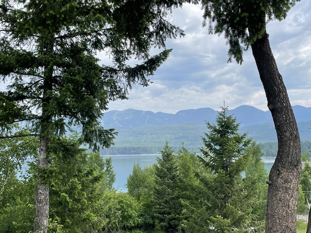 State Park Shared Use PathHiking · ~12 min drivePhoto: cjennr76, CC BY 2.0 (via Flickr)
 Fish Trails Bike and Pedestrian PathHiking · ~13 min drivePhoto: cjennr76, CC BY 2.0 (via Flickr)
Best months: May and July–September. Best months have typical highs of 55–85 °F, lows of 30 °F or warmer (32 °F where the station doesn't record snow), at most one snowy day and no more than 12 wet days.
Jan
29° / 16°
12 wet · 9 snow
Feb
34° / 16°
9 wet · 6 snow
Mar
43° / 23°
10 wet · 4 snow
Apr
53° / 30°
10 wet · 1 snow
May
63° / 39°
12 wet
Jun
70° / 45°
13 wet
Jul
81° / 50°
8 wet
Aug
80° / 48°
7 wet
Sep
69° / 40°
7 wet
Oct
53° / 31°
9 wet · 1 snow
Nov
38° / 24°
10 wet · 4 snow
Dec
29° / 18°
12 wet · 9 snow
Typical high / low (°F) and days with rain or snow, 1991–2020. Measured at Whitefish, MT, 7.1 mi away at 3,100 ft. The station sits about 700 ft lower than this place, so expect it a little cooler here. Source: NOAA NCEI U.S. Climate Normals 1991–2020.
