Snake Loop
- 8.3 mi
- round trip
- 1,383 ft
- climb
- 6,159 ft
- high point
- Out and back
- route
- May–Sep
- best months
Is Snake Loop open right now?
Alert in the area
The Forest Service lists 5 alerts for Flathead National Forest.
Camp Creek Fire Updated Trail Closure
Agency alert covering Flathead National Forest · Order 01-10- · USFS · Flathead National Forest
FK&L Area Closed to Public Access Starting July 22, 2026
Agency alert covering Flathead National Forest · Order 01-10- · USFS · Flathead National Forest
Trail 800 Tally-Ashely Closure
Agency alert covering Flathead National Forest · Order 01-10- · USFS · Flathead National Forest
Ryan Creek Occupancy and Use Order
Agency alert covering Flathead National Forest · Order 1-10- · USFS · Flathead National Forest
Logan Creek Hoke Creek Closure
Agency alert covering Flathead National Forest · Order 01-10- · USFS · Flathead National Forest
As of · Source: USFS · Flathead National Forest. Agencies don't list every closure — check before you go.
Snake Loop is a hard hike in Montana's Great Bear Wilderness, part of the Hungry Horse Ranger District of the Flathead National Forest. The trail is an out-and-back of about 8.3 miles, with a one-way elevation gain of 1,383 feet, taking you from a low point of about 4,671 feet to a high of about 6,159 feet. The Forest Service manages the land, and the trail is on natural surface, with horses allowed but bikes not. Summer is the most comfortable time to go. Typical averages from a nearby weather station at E Glacier, which sits roughly 1,350 feet lower, show July and August highs around 74°F with lows in the mid-40s. That station's figures are only a guide, as temperatures on the trail run cooler. The Giefer Creek trailhead is the parking for this route, and the Zips Place Cabin is about 0.2 miles away. Grizzly Creek and Bear Creek are both within about 2 miles.
Local outfitters
- North American RV Park & Yurt Village31 mi away
- Rocky Mountain Outfitter42 mi away
Not on Roamze yet. Their page has how to reach them.
- Giefer CreekHiking0.1 mi
- Zips Place CabinCamping0.2 mi
- Grizzly CreekHiking1.1 mi
- Bear CreekCanoeing1.9 mi
- Devil CreekHiking2.2 mi
- Mule RidgeHiking2.3 mi
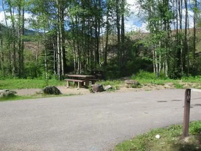 Devil Creek CampgroundCampingPhoto: Recreation.gov (RIDB) / public domain2.4 mi
- Challenge CabinCamping4.3 mi
Source: Roamze catalog (indexable pages within 10 miles, PostGIS distance)
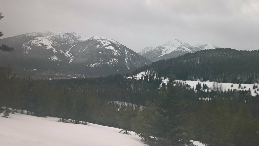 Elk MountainHiking · ~5 min drivePhoto: JimsFlicker, CC BY 2.0 (via Flickr)
 Autumn CreekHiking · ~8 min drivePhoto: w_lemay, CC BY-SA 2.0 (via Flickr)
 Kraigs Trail-Pike CrHiking · ~9 min drivePhoto: Loco Steve, CC BY 3.0 (via Wikimedia Commons)
 Java Mtn.Hiking · ~14 min drivePhoto: Loco Steve, CC BY 3.0 (via Wikimedia Commons)
- Java CreekHiking · ~14 min drivePhoto: Loco Steve, CC BY 3.0 (via Wikimedia Commons)
 Castle LakeHiking · ~14 min drivePhoto: Forest Service - Northern Region, Public Domain Mark (via Flickr)
- Summit Trailhead Connector TrailHiking · ~11 min drivePhoto: Loco Steve, CC BY 3.0 (via Wikimedia Commons)
 Ole CreekHiking · ~14 min drivePhoto: GlacierNPS, Public Domain Mark (via Flickr)
 ScalplockHiking · ~14 min drivePhoto: Forest Service - Northern Region, Public Domain Mark (via Flickr)
- Grizzly CreekHiking · ~2 min drive
Best time to visit Snake Loop
Best months: May–September. Best months have typical highs of 55–85 °F, lows of 30 °F or warmer (32 °F where the station doesn't record snow), at most one snowy day and no more than 12 wet days.
Jan
30° / 13°
Feb
30° / 13°
Mar
37° / 19°
Apr
46° / 27°
May
56° / 34°
Jun
64° / 41°
Jul
74° / 46°
Aug
74° / 44°
Sep
63° / 38°
Oct
50° / 29°
Nov
36° / 22°
Dec
29° / 15°
Typical high / low (°F) and days with rain or snow, 1991–2020. Measured at E Glacier, MT, 15.6 mi away at 4,806 ft. The station sits about 1,400 ft lower than this place, so expect it a little cooler here. This station doesn't record snowfall. Source: NOAA NCEI U.S. Climate Normals 1991–2020.
