Mule Ridge
- 8.6 mi
- round trip
- 1,833 ft
- climb
- 6,311 ft
- high point
- Out and back
- route
- May–Sep
- best months
Is Mule Ridge open right now?
Alert in the area
The Forest Service lists 5 alerts for Flathead National Forest.
Camp Creek Fire Updated Trail Closure
Agency alert covering Flathead National Forest · Order 01-10- · USFS · Flathead National Forest
FK&L Area Closed to Public Access Starting July 22, 2026
Agency alert covering Flathead National Forest · Order 01-10- · USFS · Flathead National Forest
Trail 800 Tally-Ashely Closure
Agency alert covering Flathead National Forest · Order 01-10- · USFS · Flathead National Forest
Ryan Creek Occupancy and Use Order
Agency alert covering Flathead National Forest · Order 1-10- · USFS · Flathead National Forest
Logan Creek Hoke Creek Closure
Agency alert covering Flathead National Forest · Order 01-10- · USFS · Flathead National Forest
As of · Source: USFS · Flathead National Forest. Agencies don't list every closure — check before you go.
Mule Ridge is a hard hike in the Hungry Horse Ranger District of Montana's Flathead National Forest, about 8.6 miles long with a total elevation gain of 1,833 feet. The trail starts at the Geifer Creek Trailhead, which has year-round access, and it runs as an out-and-back route from a low point of about 4,610 feet to a high point of about 6,311 feet. The Forest Service manages the land, and the trail has a natural surface. It is open to both horses and bikes, so riders and pack animals can make the trip. Summer is the most comfortable time to go. Typical averages from a nearby weather station at E Glacier, which sits about 1,500 feet lower than the high point, show July and August highs around 74°F with lows in the mid-40s. Winter is cold, with January and February highs near 30°F. Several other destinations sit close by. Skyland Mule Sm, a cross-country ski area, is half a mile away, and Elkcalf Mtn. is about 1.3 miles off. Zips Place Cabin, a cabin about 2.4 miles away, offers a place to stay. Bear Creek, a canoeing spot, is about 4.1 miles away.
Local outfitters
- North American RV Park & Yurt Village34 mi away
- Rocky Mountain Outfitter44 mi away
Not on Roamze yet. Their page has how to reach them.
- Skyland Mule SmCross-country skiing0.5 mi
- Elkcalf Mtn.Hiking1.3 mi
- Bench SmCross-country skiing1.4 mi
- Zips Place CabinCamping2.4 mi
- Challenge CabinCamping2.6 mi
- Bear CreekCanoeing4.1 mi
- Summit CgCamping4.1 mi
- South Fork Two Medicine RiverCanoeing9.4 mi
Source: Roamze catalog (indexable pages within 10 miles, PostGIS distance)
 Kraigs Trail-Pike CrHiking · ~7 min drivePhoto: Loco Steve, CC BY 3.0 (via Wikimedia Commons)
 Autumn CreekHiking · ~8 min drivePhoto: w_lemay, CC BY-SA 2.0 (via Flickr)
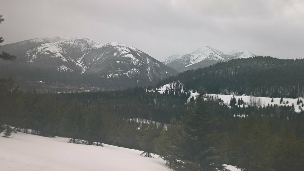 Elk MountainHiking · ~8 min drivePhoto: JimsFlicker, CC BY 2.0 (via Flickr)
- FieldingHiking · ~12 min drive
- Summit Trailhead Connector TrailHiking · ~9 min drivePhoto: Loco Steve, CC BY 3.0 (via Wikimedia Commons)
 Castle LakeHiking · ~15 min drivePhoto: Forest Service - Northern Region, Public Domain Mark (via Flickr)
- Elkcalf Mtn.Hiking · ~2 min drive
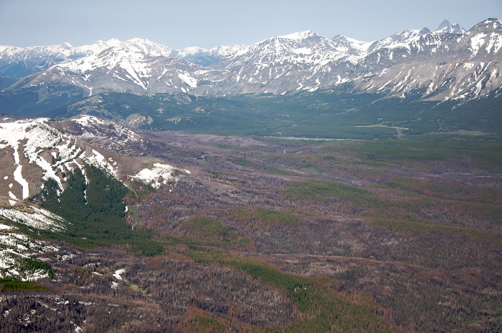 Calf MountainHiking · ~9 min drivePhoto: Sam Beebe, CC BY 2.0 (via Flickr)
- Grizzly CreekHiking · ~4 min drive
- Snake LoopHiking · ~4 min drive
Best time to visit Mule Ridge
Best months: May–September. Best months have typical highs of 55–85 °F, lows of 30 °F or warmer (32 °F where the station doesn't record snow), at most one snowy day and no more than 12 wet days.
Jan
30° / 13°
Feb
30° / 13°
Mar
37° / 19°
Apr
46° / 27°
May
56° / 34°
Jun
64° / 41°
Jul
74° / 46°
Aug
74° / 44°
Sep
63° / 38°
Oct
50° / 29°
Nov
36° / 22°
Dec
29° / 15°
Typical high / low (°F) and days with rain or snow, 1991–2020. Measured at E Glacier, MT, 14.4 mi away at 4,806 ft. The station sits about 1,500 ft lower than this place, so expect it a little cooler here. This station doesn't record snowfall. Source: NOAA NCEI U.S. Climate Normals 1991–2020.
