Limestone Creek
- 3.3 mi
- round trip
- 502 ft
- climb
- 5,353 ft
- high point
- Out and back
- route
- May–Sep
- best months
Is Limestone Creek open right now?
Alert in the area
The Forest Service lists an alert for Rocky Mountain Ranger District.
Camp Creek Fire Trail Closure
Agency alert covering Rocky Mountain Ranger District · Order 01-10- · USFS · Rocky Mountain Ranger District
As of · Source: USFS · Rocky Mountain Ranger District. Agencies don't list every closure — check before you go.
Limestone Creek is a moderate out-and-back hike of about 3.3 miles on the Forest Service trail system in the Rocky Mountain Ranger District of Helena-Lewis and Clark National Forest in Montana. The trail has a one-way elevation gain of about 500 feet, rising from roughly 4,850 feet to about 5,350 feet on the way to the top and back down. The trail is natural-surfaced and allows both horses and bikes. It is not accessible. For comfort, late summer is the warmest stretch, with typical July and August highs around 74°F and lows in the mid-40s, based on averages from a nearby weather station at E Glacier. That station sits a few hundred feet lower than the trail, so temperatures on the route run a little cooler. Several other hikes start close by. Two Med-Heart Butte is about 0.3 miles away and Lonesome Creek is about 0.8 miles away. Half Dome Crag and South Badger Tie are each within about 2 miles.
Local outfitters
- Sunset RV Park42 mi away
- North American RV Park & Yurt Village47 mi away
Not on Roamze yet. Their page has how to reach them.
Best time to go · May–Sep
Best time to visit Limestone Creek
Best months: May–September. Best months have typical highs of 55–85 °F, lows of 30 °F or warmer (32 °F where the station doesn't record snow), at most one snowy day and no more than 12 wet days.
Jan
30° / 13°
Feb
30° / 13°
Mar
37° / 19°
Apr
46° / 27°
May
56° / 34°
Jun
64° / 41°
Jul
74° / 46°
Aug
74° / 44°
Sep
63° / 38°
Oct
50° / 29°
Nov
36° / 22°
Dec
29° / 15°
Typical high / low (°F) and days with rain or snow, 1991–2020. Measured at E Glacier, MT, 15.7 mi away at 4,806 ft. The station sits about 500 ft lower than this place, so expect it a little cooler here. This station doesn't record snowfall. Source: NOAA NCEI U.S. Climate Normals 1991–2020.
Keep exploring — more trails worth the drive
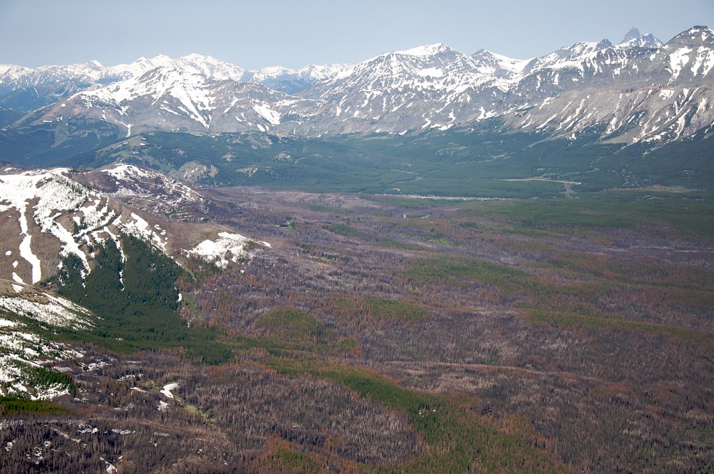 Photo: Sam Beebe, CC BY 2.0 (via Flickr)
Calf Mountain
~18 min drive
2.44-mile out-and-back trail in Montana with 495 ft gain
HIKE
Two Med-Heart Butte
Next door
24.63-mile out-and-back trail in Montana with 2,677 ft elevation gain.
HIKE
Elbow Creek
~10 min drive
3.35-mile out-and-back trail in Montana with 25 ft elevation gain.
HIKE
South Badger Tie
~3 min drive
0.72-mile out-and-back trail in Montana with 39 ft of elevation gain.
HIKE
Lonesome Creek
~1 min drive
7.15-mile out-and-back trail in Montana with 811 ft gain.
HIKE
BLUE LAKE SPUR
~11 min drive
4.24-mile out-and-back trail in Montana with 1,229 ft elevation gain and loss.
HIKE
SAWMILL CREEK SPUR
~6 min drive
1.96-mile out-and-back trail in Montana with 777 ft elevation gain
HIKE
Half Dome Crag
~3 min drive
7.57-mile out-and-back trail in Montana with 2,973 ft elevation gain.
HIKE
Mt Pablo
~13 min drive
6.01-mile out-and-back trail in Montana with 995 ft gain.
HIKE
Badger Cabin Camp
~7 min drive
1.04-mile out-and-back trail in Montana with 186 ft elevation loss.
Also worth it near here
