Lubec Buffalo
 Photo: Sam Beebe, CC BY 2.0 (via Flickr)
- 1.1 mi
- round trip
- 293 ft
- climb
- 5,687 ft
- high point
- Out and back
- route
- May–Sep
- best months
Is Lubec Buffalo open right now?
Alert in the area
The Forest Service lists an alert for Rocky Mountain Ranger District.
Camp Creek Fire Trail Closure
Agency alert covering Rocky Mountain Ranger District · Order 01-10- · USFS · Rocky Mountain Ranger District
As of · Source: USFS · Rocky Mountain Ranger District. Agencies don't list every closure — check before you go.
Lubec Buffalo is a short, easy out-and-back hike in the Rocky Mountain Ranger District of the Helena-Lewis and Clark National Forest in Montana. The trail is about a mile long, with a one-way elevation gain of 293 feet, and it starts at the Lubec trailhead, which is open year-round. The route is natural-surfaced and allows both horses and bikes. It is not an accessible trail, so plan on a walk or ride rather than a wheelchair trip. Summer is the most comfortable time to go. Typical averages from a nearby weather station at E Glacier, which sits roughly 900 feet lower than the trail, show July and August highs around 74°F with lows in the mid-40s. Winter is cold, with January highs near 30°F and lows around 13°F. Buffalo Lakes is less than a mile away, and Lower Two Med is about 2 miles off. Paddlers can reach the South Fork Two Medicine River within 3 miles, and Summit Campground is about 7 miles away.
Local outfitters
- North American RV Park & Yurt Village37 mi away
- Sunset RV Park44 mi away
Not on Roamze yet. Their page has how to reach them.
Best time to go · May–Sep
Best time to visit Lubec Buffalo
Best months: May–September. Best months have typical highs of 55–85 °F, lows of 30 °F or warmer (32 °F where the station doesn't record snow), at most one snowy day and no more than 12 wet days.
Jan
30° / 13°
Feb
30° / 13°
Mar
37° / 19°
Apr
46° / 27°
May
56° / 34°
Jun
64° / 41°
Jul
74° / 46°
Aug
74° / 44°
Sep
63° / 38°
Oct
50° / 29°
Nov
36° / 22°
Dec
29° / 15°
Typical high / low (°F) and days with rain or snow, 1991–2020. Measured at E Glacier, MT, 4 mi away at 4,806 ft. The station sits about 900 ft lower than this place, so expect it a little cooler here. This station doesn't record snowfall. Source: NOAA NCEI U.S. Climate Normals 1991–2020.
Keep exploring — more trails worth the drive
Photo: Sam Beebe, CC BY 2.0 (via Flickr)Buffalo Lakes
~1 min drive
2.81-mile out-and-back trail in Montana with 338 ft elevation gain.
 Photo: w_lemay, CC BY-SA 2.0 (via Flickr)
Autumn Creek
~13 min drive
9.22-mile out-and-back trail in Montana with 1,998 ft gain/loss
 Photo: GlacierNPS, Public Domain Mark (via Flickr)
Scenic Point
~15 min drive
This trail takes you on a mostly exposed and steady climb up to the well-named Scenic Point. Along the way, you'll see the ghostly skeletons of whitebark pine trees, dead after succumbing to either white pine blister rust or mountain pine beetles. Scenic Point Distance: 3.8…
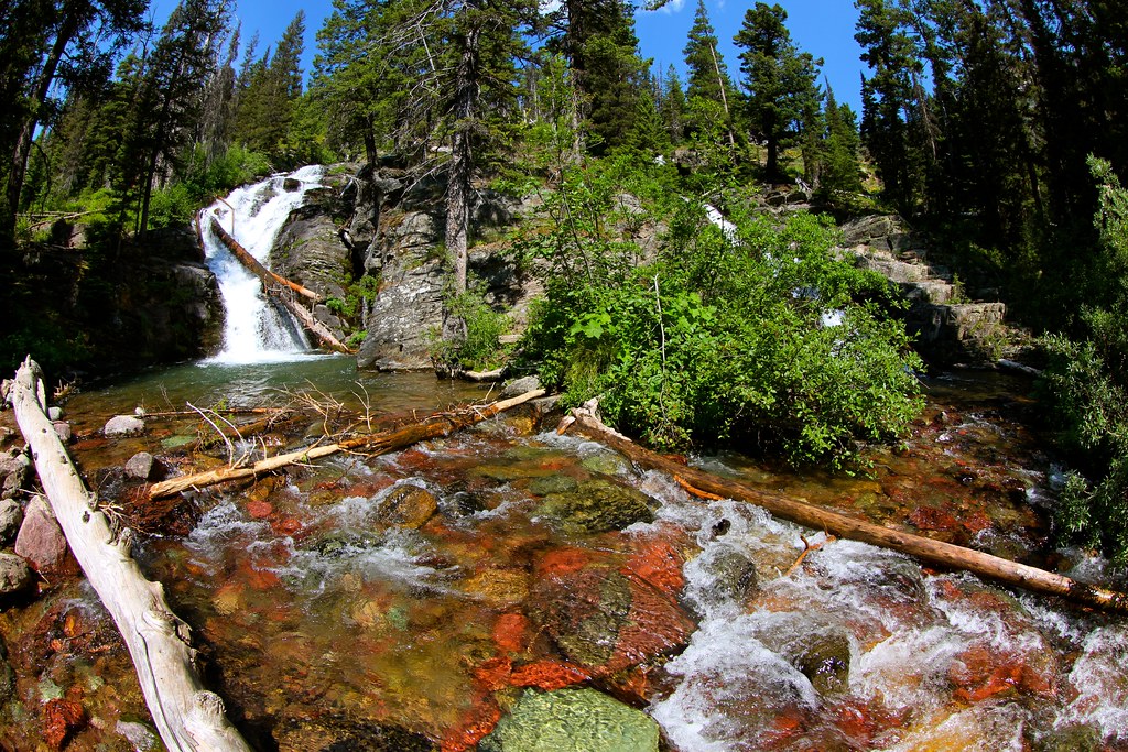 Photo: roy.luck, CC BY 2.0 (via Flickr)
Dawson Pass
~17 min drive
Dawson Pass is a 19.54-mile out-and-back trail in Montana with 3,151 ft of elevation gain.
HIKE
Two Med-Heart Butte
~4 min drive
20.92-mile out-and-back trail in Montana with 1,699 ft elevation gain.
 Photo: Loco Steve, CC BY 3.0 (via Wikimedia Commons)
SUMMIT TH CONNECTOR
~9 min drive
2.82-mile out-and-back trail in Montana with 703 ft elevation gain
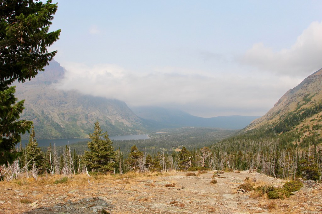 Photo: daveynin, CC BY 2.0 (via Flickr)
Two Med South Shore
~15 min drive
12.1-mile out-and-back trail in Montana with 601 ft elevation gain.
 Photo: Greg Willis from Denver, CO, usa, CC BY-SA 2.0 (via Wikimedia Commons)
Paradise Point Trail
~15 min drive
This pleasant and short hike takes you to a small beach with a striking view of Two Medicine Lake and the surrounding mountains. Paradise Point Distance: 0.6 mi (1.0 km), one way Elevation gained: 88 ft (27 m) Elevation lost: 84 ft (26 m) Trailhead: South Shore Trailhead, be…
HIKE
Two Medicine Pass
~17 min drive
18.1-mile out-and-back trail in Montana with 4,211 ft elevation gain.
HIKE
Jennings
~5 min drive
9.86-mile out-and-back trail in Montana with 267 ft elevation gain.


