Sheep Mountain Loop
- 7.0 mi
- round trip
- 1,479 ft
- climb
- 7,363 ft
- high point
- Out and back
- route
Is Sheep Mountain Loop open right now?
Alert in the area
The Forest Service lists an alert for Lolo National Forest.
East Fork Big Creek Road & Trail Closure- Superior Ranger District
Agency alert covering Lolo National Forest · Order 26-003- · USFS · Lolo National Forest
As of · Source: USFS · Lolo National Forest. Agencies don't list every closure — check before you go.
Sheep Mountain Loop is a 7-mile out-and-back hike in the Missoula Ranger District of Lolo National Forest in western Montana. The trail rises from about 5,780 feet to a high point of 7,363 feet, with a total elevation gain of 1,479 feet. The Forest Service manages the land, and the trail is open year-round. The route is rated hard, and it is a natural-surface trail that allows both horses and bikes. The Sheep Mountain Trailhead parking area is the starting point. For a longer outing, the Upper Twin Creek Trail lies about half a mile away, and Mineral Peak is roughly 1.7 miles off. Boulder Lake is about 4.4 miles away, and the Sheep Mountain mountain biking area is about 4.1 miles away.
Local outfitters
- Granite Peak RV Resort17 mi away
Not on Roamze yet. Their page has how to reach them.
- Upper Twin Creek TrailHiking0.5 mi
- UPPER TWIN CREEKHiking1 mi
- Mineral PeakHiking1.7 mi
- East Fork Rattlesnake CreekHiking2.7 mi
- Wisherd RidgeHiking2.8 mi
- Sheep MountainMountain biking4.1 mi
- Boulder LakeHiking4.4 mi
- Northwest RegionRock climbing8.7 mi
Source: Roamze catalog (indexable pages within 10 miles, PostGIS distance)
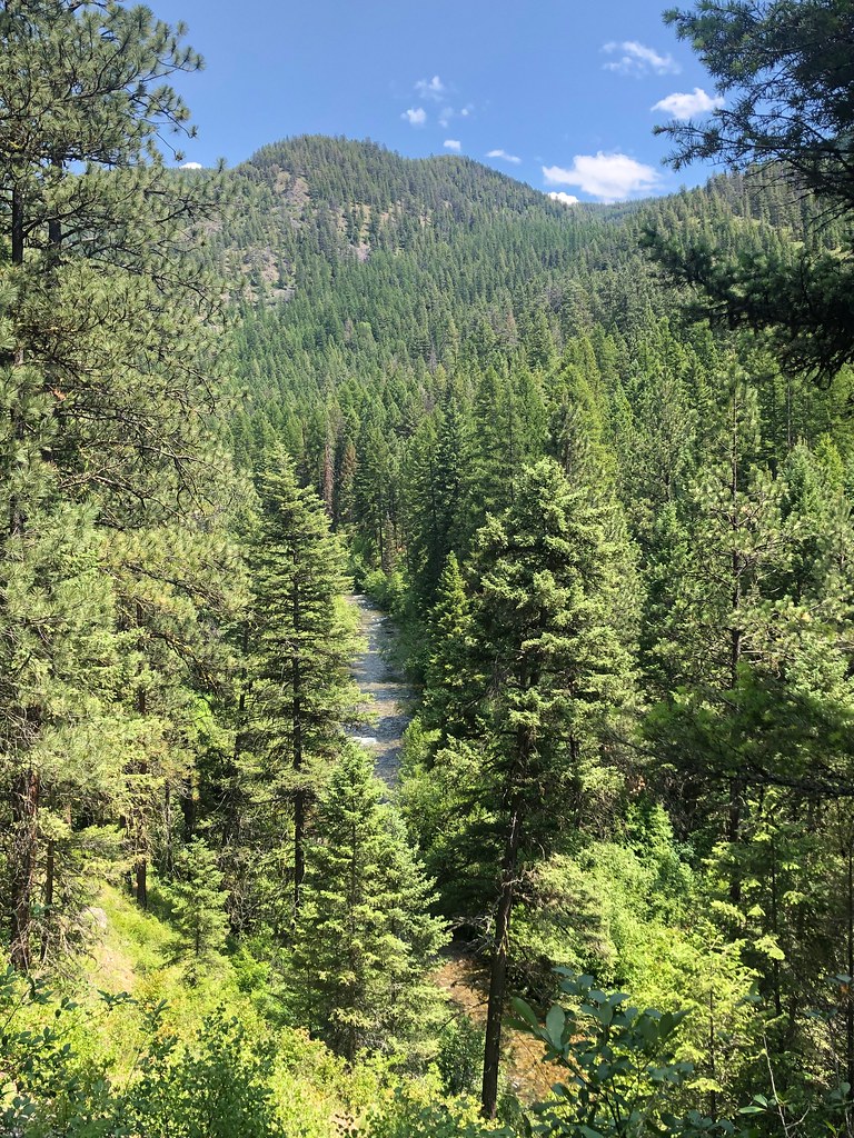 RATTLESNAKE CREEK CUTOFF GHiking · ~12 min drivePhoto: Forest Service - Northern Region, Public Domain Mark (via Flickr)
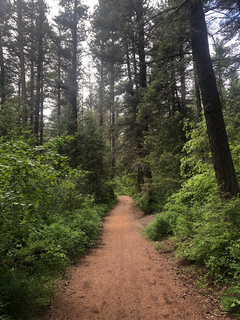 Three LarchesHiking · ~13 min drivePhoto: Forest Service - Northern Region, Public Domain Mark (via Flickr)
- Sheep MountainHiking · ~15 min drivePhoto: Forest Service - Northern Region, Public Domain Mark (via Flickr)
- WALLMAN CUTOFF AHiking · ~13 min drivePhoto: Forest Service - Northern Region, Public Domain Mark (via Flickr)
 Spring GulchHiking · ~15 min drivePhoto: Forest Service - Northern Region, Public Domain Mark (via Flickr)
- Stuart PeakHiking · ~15 min drivePhoto: Forest Service - Northern Region, Public Domain Mark (via Flickr)
- RATTLESNAKE CREEK CUTOFF AHiking · ~15 min drivePhoto: Forest Service - Northern Region, Public Domain Mark (via Flickr)
- Mineral PeakHiking · ~3 min drive
 Rattlesnake CreekHiking · ~15 min drivePhoto: Forest Service - Northern Region, Public Domain Mark (via Flickr)
- Sawmill Gulch Wooten RanchHiking · ~15 min drivePhoto: Forest Service - Northern Region, Public Domain Mark (via Flickr)
Also worth it near here
