Saltese/Randolph Creek Loop
- 20.7 mi
- round trip
- 4,270 ft
- climb
- 4,581 ft
- high point
- Out and back
- route
- May–Sep
- best months
The Saltese/ Randolph Creek Loop is a long, steep out-and-back route in Montana, starting about a tenth of a mile from the town of Saltese. The trip's low point sits at 3,207 feet, and the high point reaches 4,581 feet, with a total climb of about 4,270 feet for the full round trip. The route is rated expert, and the steepest stretch comes at about 10.6 miles in, with a grade of about 14%. For timing, summer is the most comfortable season. A nearby weather station at Haugan, which sits well below the trail's high point, records typical July averages of about 84°F for highs and 43°F for lows. At the higher elevation, temperatures run cooler. The trip takes about 16 hours to complete. The Silver/Dominion Creek hike starts just a tenth of a mile away, and the West Fork Loop and Meadow Mtn Loop are within about 2.5 miles. Paddlers can find the Saint Regis River about 4 miles off.
Local outfitters
- CDA River RV40 mi away
- Lost Moose Campground44 mi away
Not on Roamze yet. Their page has how to reach them.
- SILVER/DOMINION CREEKHiking0.1 mi
- WEST FORK LOOPHiking1.2 mi
- MEADOW MTN LOOPHiking2.5 mi
- PACKER CREEKHiking2.9 mi
- SILVER/DOMINION CREEK CUTOFFHiking3.1 mi
 Saint Regis RiverCanoeingPhoto: Ken Gallager, CC BY-SA 4.0 (via Wikimedia Commons)4.2 mi
- Deer Creek CampgroundCamping7.5 mi
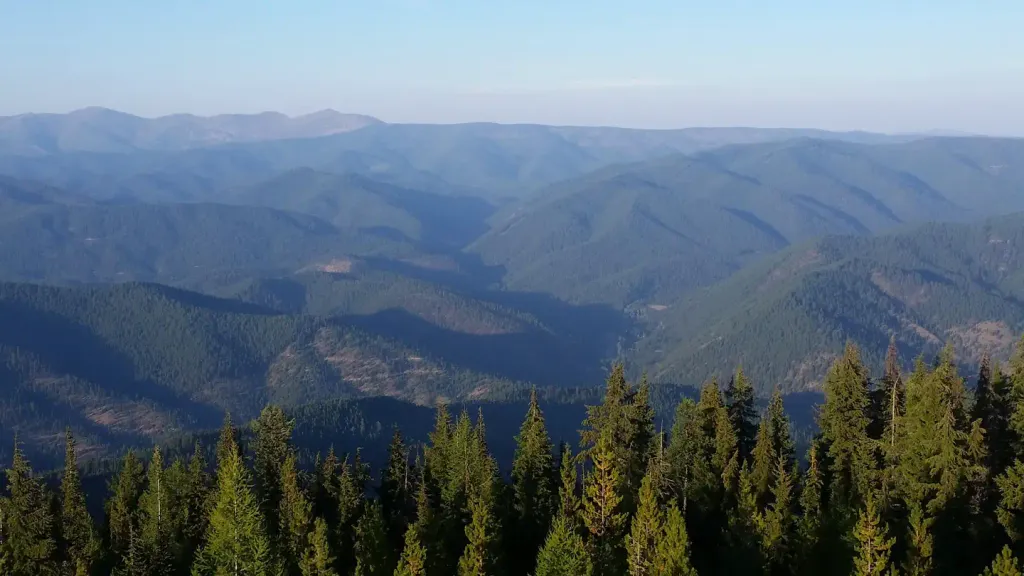 Up Up LookoutCampingPhoto: Recreation.gov (RIDB) / public domain9.5 mi
Source: Roamze catalog (indexable pages within 10 miles, PostGIS distance)
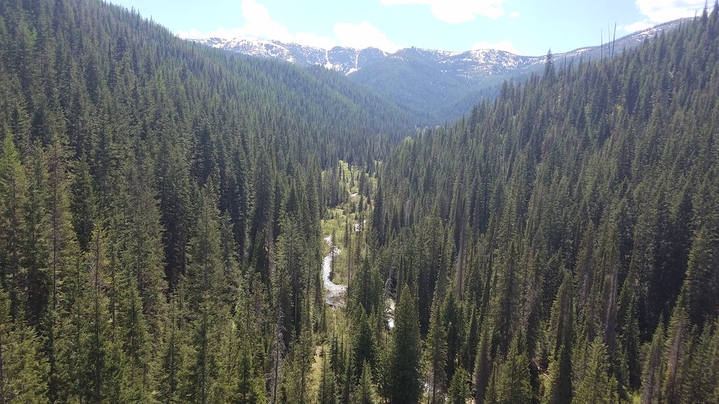 BEAR CREEKHiking · ~13 min drivePhoto: Forest Service - Northern Region, Public Domain Mark (via Flickr)
 Clear CreekHiking · ~13 min drivePhoto: Jon Roanhaus, CC BY-SA 3.0 (via Wikimedia Commons)
 Copper LakeHiking · ~15 min drivePhoto: Robert Ashworth from Bellingham, WA., USA, CC BY 2.0 (via Wikimedia Commons)
- RAINY/DOMINION LOOPHiking · ~8 min drive
- MEADOW MTN LOOPHiking · ~4 min drive
 Crystal LakeHiking · ~15 min drivePhoto: Forest Service - Northern Region, Public Domain Mark (via Flickr)
- Savenac Arboretum EastHiking · ~10 min drive
- DOMINION PEAKHiking · ~8 min drive
- HAWK MOUNTAINHiking · ~9 min drive
- WEST FORK LOOPHiking · ~2 min drive
Best time to visit SALTESE/RANDOLPH CREEK LOOP
Best months: May–September. Best months have typical highs of 55–85 °F, lows of 30 °F or warmer (32 °F where the station doesn't record snow), at most one snowy day and no more than 12 wet days.
Jan
31° / 17°
Feb
36° / 18°
Mar
44° / 23°
Apr
54° / 27°
May
65° / 34°
Jun
71° / 40°
Jul
84° / 43°
Aug
83° / 41°
Sep
72° / 35°
Oct
53° / 30°
Nov
38° / 24°
Dec
30° / 18°
Typical high / low (°F) and days with rain or snow, 1991–2020. Measured at Haugan 1 W, MT, 4.4 mi away at 3,160 ft. The station sits about 1,400 ft lower than this place, so expect it a little cooler here. This station doesn't record snowfall. Source: NOAA NCEI U.S. Climate Normals 1991–2020.
