Meadow Mtn Loop
- 5.4 mi
- round trip
- 2,759 ft
- climb
- 4,264 ft
- high point
- Out and back
- route
- May–Sep
- best months
Is MEADOW MTN LOOP open right now?
Alert in the area
The Forest Service lists an alert for Lolo National Forest.
East Fork Big Creek Road & Trail Closure- Superior Ranger District
Agency alert covering Lolo National Forest · Order 26-003- · USFS · Lolo National Forest
As of · Source: USFS · Lolo National Forest. Agencies don't list every closure — check before you go.
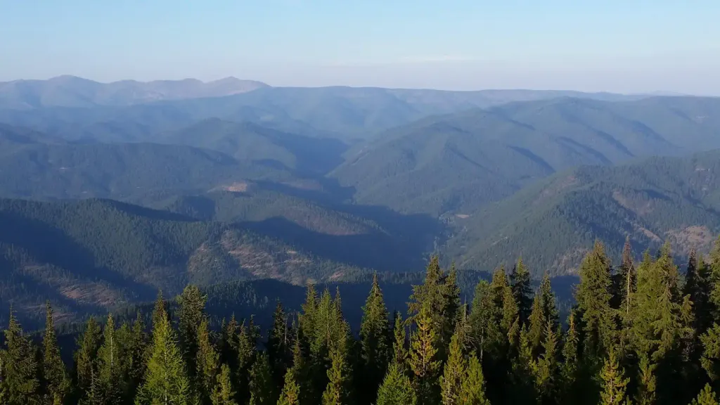
Meadow Mt. Loop is a 10.7-mile out-and-back route in Montana's Superior Ranger District of the Lolo National Forest, managed by the Forest Service. The trail climbs steadily from a starting point of about 3,858 feet to a high of 4,264 feet, with a total elevation gain of 2,759 feet. The route is rated hard, and the steepest stretch comes at about 2.8 miles, where the grade reaches 20%. The most comfortable months for a visit are typically June through September, when a nearby weather station records typical highs from about 71°F in June to 84°F in July, with lows in the low to mid 40s. That station sits roughly 1,100 feet below the trail's high point, so temperatures up top run cooler. Plan for about five hours on the trail. Packer Creek and West Fork Loop are each about 2.3 miles away, and Deer Creek Campground offers a place to camp about 6.7 miles out. The Saint Regis River, a canoeing destination, is about 6.2 miles away.
Local outfitters
- CDA River RV41 mi away
- Lost Moose Campground46 mi away
Not on Roamze yet. Their page has how to reach them.
- PACKER CREEKHiking2.3 mi
- WEST FORK LOOPHiking2.3 mi
- SILVER/DOMINION CREEKHiking2.5 mi
 Saint Regis RiverCanoeingPhoto: Ken Gallager, CC BY-SA 4.0 (via Wikimedia Commons)6.2 mi
- Deer Creek CampgroundCamping6.7 mi
 Up Up LookoutCampingPhoto: Recreation.gov (RIDB) / public domain8.7 mi
- Prospect CreekCanoeing9.4 mi
- Gold Rush Cg/TrhdCamping9.8 mi
Source: Roamze catalog (indexable pages within 10 miles, PostGIS distance)
Best time to visit MEADOW MTN LOOP
Best months: May–September. Best months have typical highs of 55–85 °F, lows of 30 °F or warmer (32 °F where the station doesn't record snow), at most one snowy day and no more than 12 wet days.
Jan
31° / 17°
Feb
36° / 18°
Mar
44° / 23°
Apr
54° / 27°
May
65° / 34°
Jun
71° / 40°
Jul
84° / 43°
Aug
83° / 41°
Sep
72° / 35°
Oct
53° / 30°
Nov
38° / 24°
Dec
30° / 18°
Typical high / low (°F) and days with rain or snow, 1991–2020. Measured at Haugan 1 W, MT, 3.3 mi away at 3,160 ft. The station sits about 1,100 ft lower than this place, so expect it a little cooler here. This station doesn't record snowfall. Source: NOAA NCEI U.S. Climate Normals 1991–2020.
