Crystal Lake
 Photo: Forest Service - Northern Region, Public Domain Mark (via Flickr)
- 7.4 mi
- round trip
- 2,359 ft
- climb
- 6,553 ft
- high point
- Out and back
- route
- Jul–Sep
- best months
Caution today
Agency alerts are in effect for this area; weather is marginal · USFS, OpenWeather · checked 10 h ago
Crystal Lake is a moderate out-and-back hike in Montana's Superior Ranger District of the Lolo National Forest, about 7.4 miles long and with a one-way elevation gain of 2,359 feet. The trail starts at roughly 4,145 feet and climbs to about 6,553 feet at the high point, and it is managed by the Forest Service. The trail is natural-surface and bikes are allowed. It is not an accessible route. The climb is a steady one, and the route is open year-round. Summer is the most comfortable time to go. Typical averages from a nearby weather station at Mullan Pass, Idaho, put July and August highs around 70°F with only about six wet days a month, while winter highs sit in the mid-20s. Heart Lake #2 is about 1.5 miles away and Hub Hazel Lakes about 2.4 miles. Clear Lake and Up Up Ridge are each about 3 miles off. For camping, Deer Creek Campground and Up Up Lookout are both about 4.4 miles away.
- Heart Lake #2Hiking1.5 mi
- Hub Hazel LakesHiking2.4 mi
- Clear LakeHiking2.4 mi
- Up Up RidgeHiking3 mi
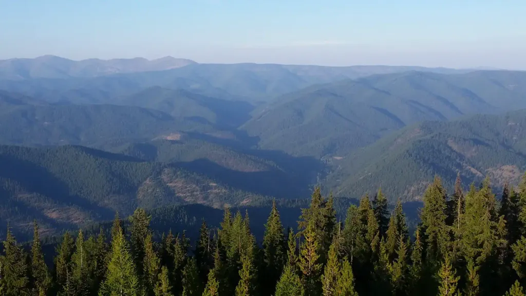 Up Up LookoutCampingPhoto: Recreation.gov (RIDB) / public domain4.4 mi
- Deer Creek CampgroundCamping4.4 mi
- Cabin City CgCamping9.1 mi
- Conrad CrossingCamping9.7 mi
Source: Roamze catalog (indexable pages within 10 miles, PostGIS distance)
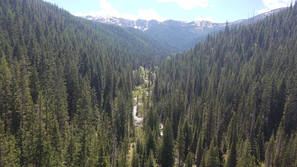 BEAR CREEKHiking · ~19 min drivePhoto: Forest Service - Northern Region, Public Domain Mark (via Flickr)
- Heart Lake #2Hiking · ~3 min drive
- CRADDOCK PEAKHiking · ~6 min drive
- UP-UP / DEER CREEKHiking · ~7 min drive
- Hub Hazel LakesHiking · ~4 min drive
- Clear LakeHiking · ~4 min drive
- SILVER/DOMINION CREEK CUTOFFHiking · ~14 min drive
- BIG CREEK / RIVERS CREEKHiking · ~10 min drive
- Up Up RidgeHiking · ~5 min drive
- Square LakeHiking · ~7 min drive
Best time to visit Crystal Lake
Best months: July–September. Best months have typical highs of 55–85 °F, lows of 30 °F or warmer (32 °F where the station doesn't record snow), at most one snowy day and no more than 12 wet days.
Jan
28° / 19°
19 wet
Feb
28° / 19°
17 wet
Mar
34° / 22°
19 wet
Apr
40° / 27°
17 wet
May
50° / 36°
15 wet
Jun
58° / 42°
13 wet
Jul
70° / 52°
6 wet
Aug
69° / 51°
6 wet
Sep
59° / 44°
8 wet
Oct
44° / 32°
13 wet
Nov
32° / 23°
17 wet
Dec
27° / 18°
18 wet
Typical high / low (°F) and days with rain or snow, 1991–2020. Measured at Mullan Pass Vor/Dme, ID, 15.1 mi away at 6,028 ft. The station sits about 500 ft lower than this place, so expect it a little cooler here. This station doesn't record snowfall. Source: NOAA NCEI U.S. Climate Normals 1991–2020.
