Travertine Road-008
Campground
Campground · < 0.1 mi from the trail
Caution at last check
Agency alerts are in effect for this area; weather is good · USFS, OpenWeather · checked 23 h ago
Closure in the area
There's a closure order in Custer Gallatin National Forest. It doesn't name Maiden Falls, so check the source for the area it covers (14 listed).
NFSR #1700 South Plateau Road Closure
Agency closure covering Custer Gallatin National Forest · USFS · Custer Gallatin National Forest
Tom Miner Campground Closure
Agency closure covering Gardiner Ranger District · Order 01-11-03-26-02 · USFS · Gardiner Ranger District
Hyalite Porcupine Buffalo Horn Summer Interim Travel Order and Map and Order # 01-11-00-26-02
Agency closure covering Custer Gallatin National Forest · Order 01-11-00-26-02 · USFS · Custer Gallatin National Forest
Hyalite Porcupine Buffalo Horn Winter Interim Travel Order and Map Order Number: #01-11-00-26-01
Agency closure covering Custer Gallatin National Forest · USFS · Custer Gallatin National Forest
Glacier Lake Road #2421 Closure Order Number: # 01-11-82-26- 01
Agency closure covering Custer Gallatin National Forest · Order 01-11-82-26- · USFS · Custer Gallatin National Forest
As of · Source: USFS · Custer Gallatin National Forest. Agencies don't list every closure — check before you go.
Maiden Falls is an easy out-and-back hike in the Gardiner Ranger District of Custer Gallatin National Forest in Montana, about 2 miles long with a total elevation gain of 328 feet. The trail rises from a low point of about 5,532 feet to a high of about 6,015 feet, and it is managed by the Forest Service. The route is natural-surfaced and open to both horses and bikes, so it works for riders and pack animals as well as hikers. The trailhead is at the Little Trail Creek parking area, and the hike is open year-round. Summer is the most comfortable time to go. Typical averages from a nearby weather station at a similar elevation show July highs around 81°F with lows near 48°F, while winter brings highs in the low 30s and regular snow days from December through February. Nearby, Little Trail Creek is about 1.6 miles away, and Beattie Gulch is about 2.6 miles off. For an overnight stay, Eagle Creek campground is about 3.3 miles away, and the Gardiner District lake fishing area is about 2.4 miles away.
Travertine Road-008
Campground
Places © OpenStreetMap contributors
More in EmigrantNot on Roamze yet. Their page has how to reach them.
 Beattie GulchHikingPhoto: Don Henise, CC BY 2.0 (via Flickr)2.6 mi
 The HoodoosRock climbingPhoto: Ken Lund, CC BY-SA 2.0 (via Flickr)8.4 mi
 Gardner RiverCanoeingPhoto: Jo Suderman, Public domain (via Wikimedia Commons)8.8 mi
Source: Roamze catalog (indexable pages within 10 miles, PostGIS distance)
 Bassett CreekHiking · ~5 min drivePhoto: ahisgett, CC BY 2.0 (via Flickr)
 Yellowstone RiverHiking · ~7 min drivePhoto: Forest Service - Northern Region, Public Domain Mark (via Flickr)Yellowstone River TrailHiking · ~8 min drivePhoto: Forest Service - Northern Region, Public Domain Mark (via Flickr)
 Beaver Ponds TrailHiking · ~8 min drivePhoto: petemckelvey, CC BY 3.0 (via Wikimedia Commons)
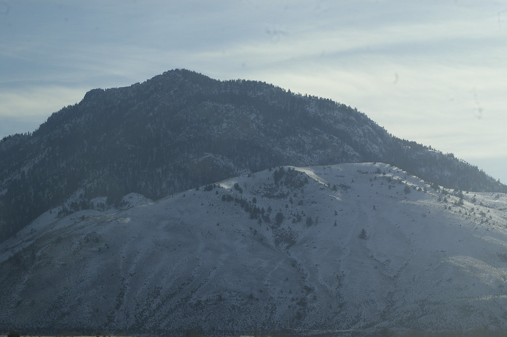 Cutler LakeHiking · ~12 min drivePhoto: hesyifei, CC BY-SA 2.0 (via Flickr)
 Sportsman Lake TrailHiking · ~12 min drivePhoto: cchadek, CC BY 3.0 (via Wikimedia Commons)
Best months: July–September. Best months have typical highs of 55–85 °F, lows of 30 °F or warmer (32 °F where the station doesn't record snow), at most one snowy day and no more than 12 wet days.
Jan
31° / 12°
11 wet · 9 snow
Feb
34° / 12°
11 wet · 9 snow
Mar
42° / 19°
11 wet · 7 snow
Apr
50° / 26°
11 wet · 5 snow
May
60° / 35°
13 wet · 2 snow
Jun
69° / 42°
13 wet
Jul
81° / 48°
10 wet
Aug
80° / 47°
9 wet
Sep
69° / 39°
9 wet · 1 snow
Oct
54° / 29°
9 wet · 3 snow
Nov
39° / 19°
10 wet · 7 snow
Dec
30° / 12°
12 wet · 10 snow
Typical high / low (°F) and days with rain or snow, 1991–2020. Measured at Yellowstone Park Mammoth, WY, 6.4 mi away at 6,195 ft. Source: NOAA NCEI U.S. Climate Normals 1991–2020.

