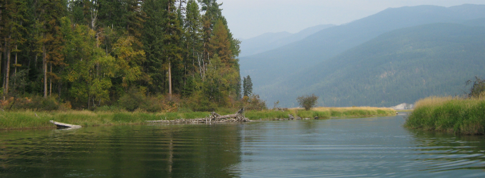
Jocko
- 16.0 mi
- round trip
- 1,946 ft
- climb
- 6,630 ft
- high point
- Out and back
- route
Caution at last check
Agency alerts are in effect for this area; weather is good · USFS, OpenWeather · checked 13 h ago
Is Jocko open right now?
Alert in the area
The Forest Service lists 5 alerts for Flathead National Forest.
Camp Creek Fire Updated Trail Closure
Agency alert covering Flathead National Forest · Order 01-10- · USFS · Flathead National Forest
FK&L Area Closed to Public Access Starting July 22, 2026
Agency alert covering Flathead National Forest · Order 01-10- · USFS · Flathead National Forest
Trail 800 Tally-Ashely Closure
Agency alert covering Flathead National Forest · Order 01-10- · USFS · Flathead National Forest
Ryan Creek Occupancy and Use Order
Agency alert covering Flathead National Forest · Order 1-10- · USFS · Flathead National Forest
Logan Creek Hoke Creek Closure
Agency alert covering Flathead National Forest · Order 01-10- · USFS · Flathead National Forest
As of · Source: USFS · Flathead National Forest. Agencies don't list every closure — check before you go.
Jocko is a hard hike in Montana's Mission Mountains Wilderness, part of the Swan Lake Ranger District of Flathead National Forest. It is a 16-mile out-and-back with a 1,946-foot elevation gain, taking you from a low point of 4,843 feet to a high of 6,630 feet. The route is on natural surface and is open year-round. The trail is in designated wilderness, and the Forest Service manages the surrounding land. Horses are allowed, which makes it an option for riders as well as backpackers. Crystal Lake and Lindbergh are both within about 2 miles of the trail, and Beaver Lake is about 4 miles away. Lindbergh Lake Campground, about 5 miles off, is the closest place to camp.
Local outfitters
- Granite Peak RV Resort32 mi away
Not on Roamze yet. Their page has how to reach them.
Keep exploring — more trails worth the drive
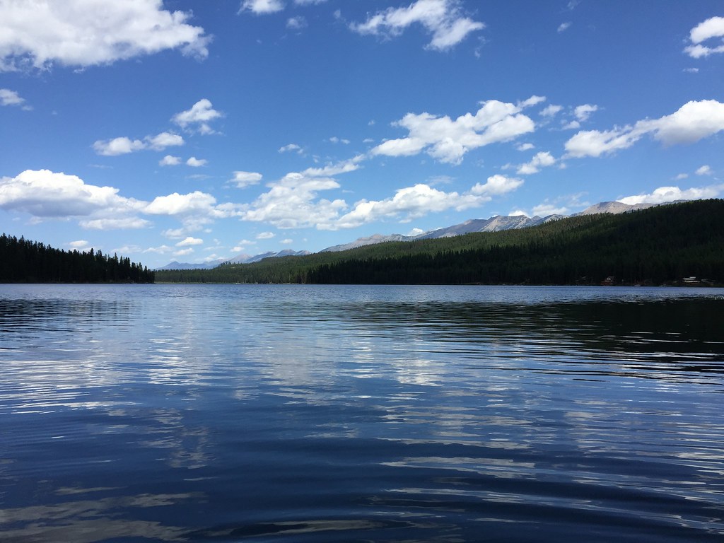 Photo: lumachrome, CC BY-SA 2.0 (via Flickr)
LAKE INEZ HOOKUP
~15 min drive
4.9-mile out-and-back trail with 684 ft elevation gain and loss in Montana.
Photo: lumachrome, CC BY-SA 2.0 (via Flickr)CAMP CR.- RICE RIDGE
~17 min drive
7.92-mile out-and-back trail in Montana with 2,856 ft elevation gain and loss.
 Photo: lumachrome, CC BY-SA 2.0 (via Flickr)
E. Holland Lake Connect.
~18 min drive
5.01-mile out-and-back trail in Montana with 880 ft elevation gain.
HIKE
COLT CREEK
~13 min drive
31.58-mile out-and-back trail in Montana with 2,898 ft elevation gain and loss.
HIKE
Beaver Lake
~7 min drive
2.05-mile out-and-back trail at Beaver Lake in Montana with 185 ft of elevation gain.
Photo: lumachrome, CC BY-SA 2.0 (via Flickr)Holland Lookout
~19 min drive
6.20-mile out-and-back trail in Montana with 2,683 ft gain
HIKE
Lindbergh
~3 min drive
5.23-mile out-and-back trail in Montana with 494 ft elevation gain.
HIKE
LAKE ELSINA
~18 min drive
22.7-mile out-and-back to Lake Elsina in Montana with 2,839 ft gain
HIKE
Glacier Lake Feeder
~8 min drive
0.60-mile out-and-back trail to Glacier Lake with 71 ft of elevation gain.
Photo: lumachrome, CC BY-SA 2.0 (via Flickr)East Foothill
~19 min drive
13.29-mile out-and-back trail in Montana with 508 ft elevation gain.