Beaver Lake
- 2.1 mi
- round trip
- 185 ft
- climb
- 5,775 ft
- high point
- Out and back
- route
- Jul–Sep
- best months
Is Beaver Lake open right now?
Alert in the area
The Forest Service lists an alert for Lolo National Forest.
East Fork Big Creek Road & Trail Closure- Superior Ranger District
Agency alert covering Lolo National Forest · Order 26-003- · USFS · Lolo National Forest
As of · Source: USFS · Lolo National Forest. Agencies don't list every closure — check before you go.
Beaver Lake is an easy, 2.1-mile out-and-back hike in the Seeley Lake Ranger District of Lolo National Forest in western Montana. The trail gains about 185 feet in elevation, from a low point of about 5,588 feet to a high of about 5,775 feet, and its natural surface makes it a straightforward walk for hikers and riders alike. Summer is the most comfortable time to go. Typical July and August highs reach about 78°F with lows near 50°F, and those months see the fewest wet days of the year, according to averages from a nearby weather station at Lindbergh Lake. That station sits well below the trail, so temperatures on the hike run cooler. The trail is open year-round. Bikes are allowed, so it works well as a short outing on foot or on a mountain bike. Rainy Lake Campground and the West Fork Clearwater River are both within about 3 miles. For an overnight stay, Rainy Lake Campground and the Lake Alva Campground Complex sit a little farther out, around 3.6 miles away.
Local outfitters
- Granite Peak RV Resort35 mi away
Not on Roamze yet. Their page has how to reach them.
Best time to go · Jul–Sep
Best time to visit Beaver Lake
Best months: July–September. Best months have typical highs of 55–85 °F, lows of 30 °F or warmer (32 °F where the station doesn't record snow), at most one snowy day and no more than 12 wet days.
Jan
31° / 16°
19 wet · 17 snow
Feb
34° / 17°
16 wet · 14 snow
Mar
42° / 23°
16 wet · 11 snow
Apr
50° / 30°
14 wet · 6 snow
May
60° / 38°
14 wet · 1 snow
Jun
68° / 45°
13 wet
Jul
78° / 50°
7 wet
Aug
78° / 49°
7 wet
Sep
67° / 41°
9 wet
Oct
51° / 32°
12 wet · 3 snow
Nov
38° / 24°
16 wet · 10 snow
Dec
29° / 16°
19 wet · 16 snow
Typical high / low (°F) and days with rain or snow, 1991–2020. Measured at Lindbergh Lake, MT, 5.4 mi away at 4,320 ft. The station sits about 1,500 ft lower than this place, so expect it a little cooler here. Source: NOAA NCEI U.S. Climate Normals 1991–2020.
Keep exploring — more trails worth the drive
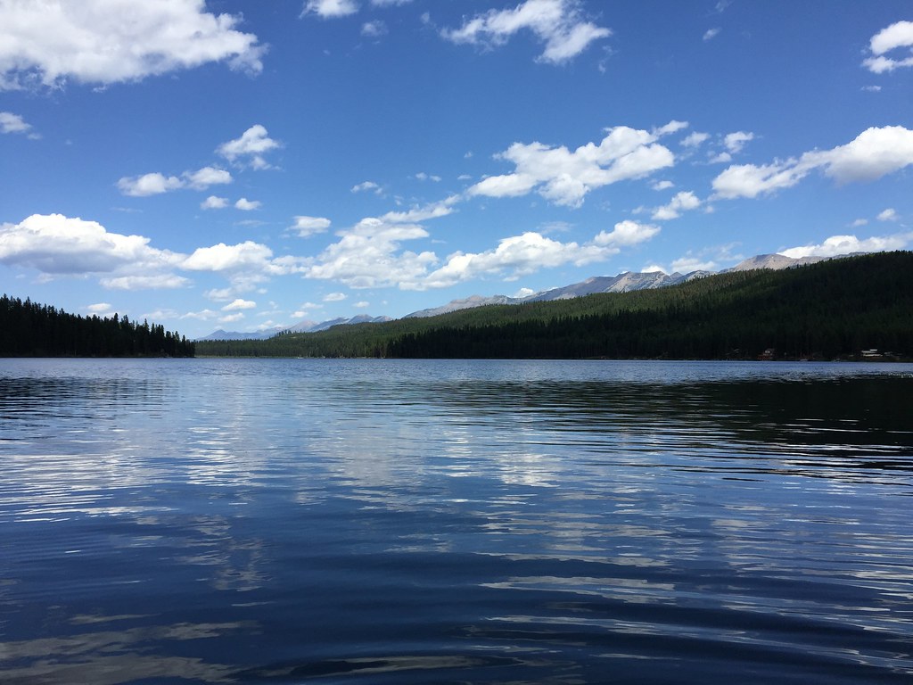 Photo: lumachrome, CC BY-SA 2.0 (via Flickr)
LAKE INEZ HOOKUP
~9 min drive
4.9-mile out-and-back trail with 684 ft elevation gain and loss in Montana.
Photo: lumachrome, CC BY-SA 2.0 (via Flickr)CAMP CR.- RICE RIDGE
~12 min drive
7.92-mile out-and-back trail in Montana with 2,856 ft elevation gain and loss.
 Photo: lumachrome, CC BY-SA 2.0 (via Flickr)
E. Holland Lake Connect.
~14 min drive
5.01-mile out-and-back trail in Montana with 880 ft elevation gain.
HIKE
COLT CREEK
~8 min drive
31.58-mile out-and-back trail in Montana with 2,898 ft elevation gain and loss.
HIKE
Rainy Lake East
~5 min drive
1.16-mile out-and-back trail to Rainy Lake in Montana with minimal elevation gain.
Photo: lumachrome, CC BY-SA 2.0 (via Flickr)East Foothill
~15 min drive
13.29-mile out-and-back trail in Montana with 508 ft elevation gain.
HIKE
NORTH CLEARWATER LOOP
~6 min drive
9.76-mile out-and-back out-and-back in Montana with 1,561 ft elevation gain/loss.
HIKE
LAKE ELSINA
~14 min drive
22.7-mile out-and-back to Lake Elsina in Montana with 2,839 ft gain
HIKE
RAINY LAKE WEST
~5 min drive
1.38-mile out-and-back trail with 392 ft gain at 4,174 ft elevation in Montana
Photo: lumachrome, CC BY-SA 2.0 (via Flickr)Holland Lookout
~15 min drive
6.20-mile out-and-back trail in Montana with 2,683 ft gain

