Hungry Horse Bay Camp
Campground
Campground · 3.5 mi from the trail
Caution today
Agency alerts are in effect for this area; weather is good · USFS, OpenWeather · checked 6 h ago
Alert in the area
The Forest Service lists 6 alerts for Flathead National Forest.
Ashley Lake North Campground Closure
Agency alert covering Flathead National Forest · Order 01-10- · USFS · Flathead National Forest
Camp Creek Fire Updated Trail Closure
Agency alert covering Flathead National Forest · Order 01-10- · USFS · Flathead National Forest
FK&L Area Closed to Public Access Starting July 22, 2026
Agency alert covering Flathead National Forest · Order 01-10- · USFS · Flathead National Forest
Trail 800 Tally-Ashely Closure
Agency alert covering Flathead National Forest · Order 01-10- · USFS · Flathead National Forest
Ryan Creek Occupancy and Use Order
Agency alert covering Flathead National Forest · Order 1-10- · USFS · Flathead National Forest
As of · Source: USFS · Flathead National Forest. Agencies don't list every closure — check before you go.
Great Northern Mountain Trail is an expert-level out-and-back hike in the Hungry Horse Ranger District of Montana's Flathead National Forest, managed by the Forest Service. The trail is about 7.3 miles long, with a one-way climb of roughly 4,600 feet from a low point of 4,294 feet to a high of 8,596 feet. The steepest stretch comes early, around 0.8 miles in, with a grade of about 60 percent. The route is front-loaded, so the hardest climbing happens at the start. That makes it a demanding day for anyone heading up from the lower end. The trail is rated expert, and the total round-trip gain is about 4,994 feet. Riverside Campground sits about 4.3 miles away, and Murray Bay Campground is about 4.8 miles off. For more hiking, Ousel Peak - West is about 6.1 miles away and Tunnel Creek about 6.3 miles.
Hungry Horse Bay Camp
Campground
Southfork Saloon
Pub
Glacier Fine Art
Gallery
Places © OpenStreetMap contributors
More in WhitefishNot on Roamze yet. Their page has how to reach them.
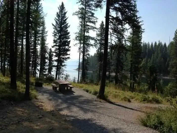 Murray Bay Campground (mt)CampingPhoto: Recreation.gov (RIDB) / public domain4.8 mi
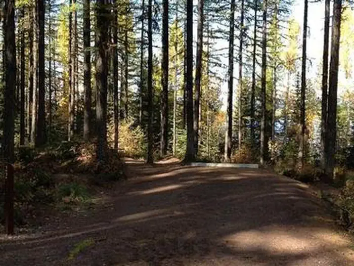 Lid Creek CampgroundCampingPhoto: Recreation.gov (RIDB) / public domain5 mi
 Ousel Peak - WestHikingPhoto: Forest Service - Northern Region, Public Domain Mark (via Flickr)6.1 mi
Source: Roamze catalog (indexable pages within 10 miles, PostGIS distance)
 Rescue CreekHiking · ~11 min drivePhoto: astrophotography_andy, CC BY 2.0 (via Flickr)
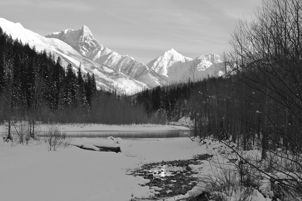 Cascadilla CreekHiking · ~11 min drivePhoto: roy.luck, CC BY 2.0 (via Flickr)
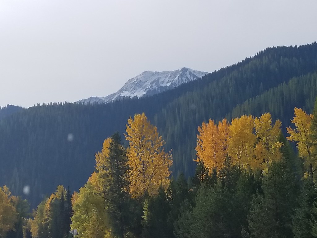 Great Bear CreekHiking · ~12 min drivePhoto: astrophotography_andy, CC BY 2.0 (via Flickr)Coal CreekHiking · ~13 min drivePhoto: roy.luck, CC BY 2.0 (via Flickr)
 Ousel PeakHiking · ~18 min drivePhoto: ludger.heide, CC BY-SA 2.0 (via Flickr)Skiumah CreekHiking · ~12 min drivePhoto: astrophotography_andy, CC BY 2.0 (via Flickr)Nyack CrossingHiking · ~12 min drivePhoto: astrophotography_andy, CC BY 2.0 (via Flickr)
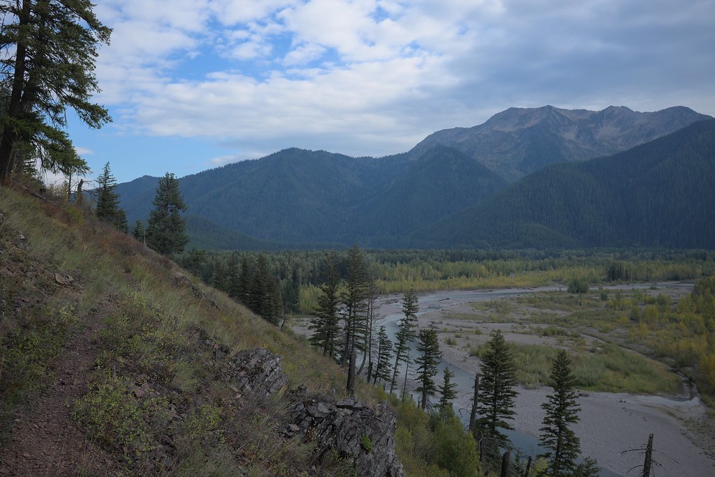 Loneman LookoutHiking · ~14 min drivePhoto: ludger.heide, CC BY-SA 2.0 (via Flickr)
 Harrison CreekHiking · ~19 min drivePhoto: ludger.heide, CC BY-SA 2.0 (via Flickr)
Map and trail data © OpenStreetMap contributors
