Shannon Lake
- 1.0 mi
- round trip
- 246 ft
- climb
- 2,578 ft
- high point
- Out and back
- route
- Apr–Jun, Sep–Oct
- best months
Shannon Lake is an easy hike of about 2 miles on an out-and-back route in the Kootenai National Forest in northwest Montana, managed by the Forest Service. The trail rises about 250 feet from a low point of roughly 2,350 feet to a high of about 2,580 feet. Summer is the most comfortable time to go. Typical averages from the nearby Troy weather station show July highs around 87°F with lows near 49°F, and September cools to highs around 75°F with fewer wet days than spring and fall. The trail is natural-surfaced and allows bikes. Grambauer, a hike about 0.8 miles away, and the Grambauer Trail #319 mountain biking route, about 1.7 miles off, are the closest options. Williams Creek and Kootenai Creek are both hikes about 2.2 miles away.
Local outfitters
- Kootenai River Campground7 mi away
- Indian Springs Montana47 mi away
Not on Roamze yet. Their page has how to reach them.
 GrambauerHikingPhoto: Arbron, CC BY 2.0 (via Flickr)0.8 mi
- Grambauer Trail #319Mountain biking1.7 mi
- Williams CreekHiking2.2 mi
 Kootenai CreekHikingPhoto: waterarchives, CC BY-SA 2.0 (via Flickr)2.2 mi
- Lake CreekCanoeing5.9 mi
- Callahan CreekCanoeing6.8 mi
- Bull Lake AreaLake fishing7.6 mi
- Yaak Mtn. Lookout RentalCamping9.9 mi
Source: Roamze catalog (indexable pages within 10 miles, PostGIS distance)
- GrambauerHiking · ~1 min drivePhoto: Arbron, CC BY 2.0 (via Flickr)
- Kootenai CreekHiking · ~4 min drivePhoto: waterarchives, CC BY-SA 2.0 (via Flickr)
- Bighorn Trail #42Hiking · ~6 min drive
- Pulpit Mountain SpurHiking · ~10 min drive
- Williams CreekHiking · ~4 min drive
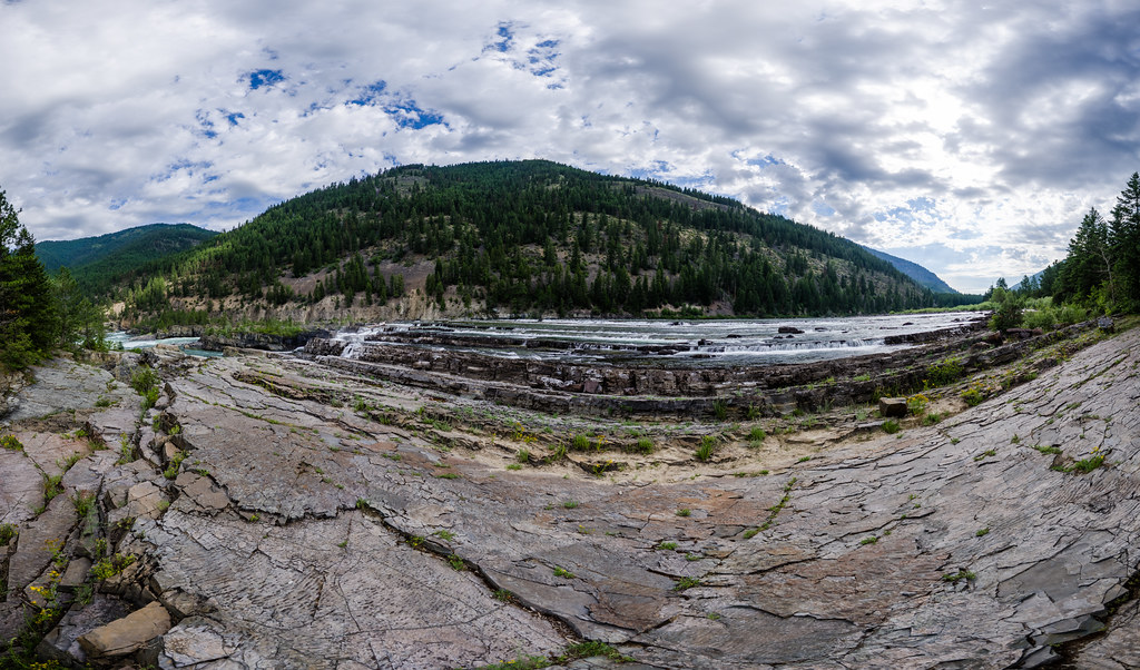 Bighorn Trail #42Hiking · ~5 min drivePhoto: Arbron, CC BY 2.0 (via Flickr)
- Alvord LakeHiking · ~10 min drive
- Scenery Mountain TieHiking · ~10 min drive
- Taylor PeakHiking · ~7 min drive
 Grambauer Ridge TieHiking · ~9 min drivePhoto: Forest Service - Northern Region, Public Domain Mark (via Flickr)
Best time to visit Shannon Lake
Best months: April–June and September–October. Best months have typical highs of 55–85 °F, lows of 30 °F or warmer (32 °F where the station doesn't record snow), at most one snowy day and no more than 12 wet days.
Jan
33° / 23°
13 wet
Feb
39° / 24°
10 wet
Mar
50° / 28°
11 wet
Apr
59° / 33°
9 wet
May
70° / 40°
10 wet
Jun
76° / 46°
10 wet
Jul
87° / 49°
6 wet
Aug
86° / 48°
5 wet
Sep
75° / 42°
6 wet
Oct
57° / 35°
9 wet
Nov
41° / 29°
13 wet
Dec
32° / 23°
13 wet
Typical high / low (°F) and days with rain or snow, 1991–2020. Measured at Troy, MT, 5.6 mi away at 1,929 ft. The station sits about 600 ft lower than this place, so expect it a little cooler here. This station doesn't record snowfall. Source: NOAA NCEI U.S. Climate Normals 1991–2020.


