Fr 3160 Moser Creek Road 6211 076a
Campground
Campground · 0.9 mi from the trail
Closure in the area
There's a closure order in Bozeman Ranger District. It doesn't name Diaper Line, so check the source for the area it covers (16 listed).
Sourdough/Bozeman Creek Trailhead and Trail Closure
Agency closure covering Bozeman Ranger District · Order 01-11-06-27-02 · USFS · Bozeman Ranger District
NFSR #1700 South Plateau Road Closure
Agency closure covering Custer Gallatin National Forest · USFS · Custer Gallatin National Forest
Storm Castle Creek Trail #185 Temporarily Closed Due to Storm Damage
Agency closure covering Bozeman Ranger District · Order 01-11-06-26-07 · USFS · Bozeman Ranger District
Hyalite Porcupine Buffalo Horn Summer Interim Travel Order and Map and Order # 01-11-00-26-02
Agency closure covering Custer Gallatin National Forest · Order 01-11-00-26-02 · USFS · Custer Gallatin National Forest
Hyalite Porcupine Buffalo Horn Winter Interim Travel Order and Map Order Number: #01-11-00-26-01
Agency closure covering Custer Gallatin National Forest · USFS · Custer Gallatin National Forest
As of · Source: USFS · Bozeman Ranger District. Agencies don't list every closure — check before you go.
Diaper Line is a hard hike in the Bozeman Ranger District of Custer Gallatin National Forest in Montana, about 8.6 miles long with a one-way elevation gain of 1,038 feet. The trail is an out-and-back, starting and ending at a trailhead on FR 3159, past the junction of Moser Rd 6210 and 6211, and it is managed by the Forest Service. The route rises from a low point of about 5,856 feet to a high of about 6,674 feet. Bikes and horses are both allowed, and the trail surface is natural. Summer is the most comfortable time to go. Typical averages from a nearby weather station at Big Sky show July highs around 78°F with lows near 41°F, while winter highs stay in the 20s and 30s. South Diaper Line is a hike about 0.6 miles away. The Bozeman Creek Trail, a cross-country ski route, is about 1.2 miles off, and Crocodile Rock, a climbing area, is about 2.6 miles away.
Fr 3160 Moser Creek Road 6211 076a
Campground
Blacksmith Italian
Restaurant
Places © OpenStreetMap contributors
More in EmigrantNot on Roamze yet. Their page has how to reach them.
Source: Roamze catalog (indexable pages within 10 miles, PostGIS distance)
 Face DrawHiking · ~4 min drivePhoto: Forest Service - Northern Region, Public Domain Mark (via Flickr)
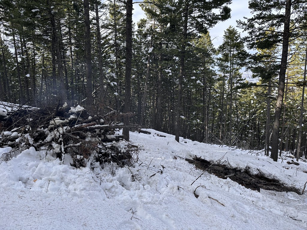 Leverich CanyonHiking · ~6 min drivePhoto: Forest Service - Northern Region, Public Domain Mark (via Flickr)
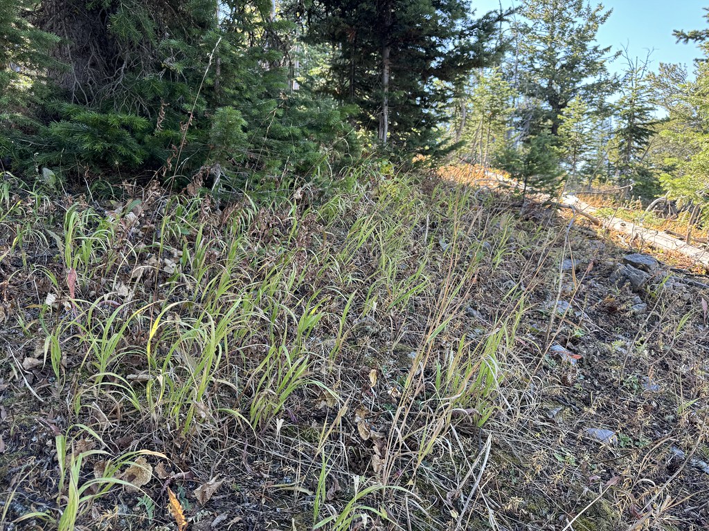 New World GulchHiking · ~6 min drivePhoto: Matt Lavin, CC BY-SA 2.0 (via Flickr)Kirk HillHiking · ~7 min drivePhoto: Forest Service - Northern Region, Public Domain Mark (via Flickr)
 Triple Tree TrailHiking · ~8 min drivePhoto: Matt Lavin, CC BY-SA 2.0 (via Flickr)
 Hyalite CanyonHiking · ~8 min drivePhoto: Matt Lavin, CC BY-SA 2.0 (via Flickr)
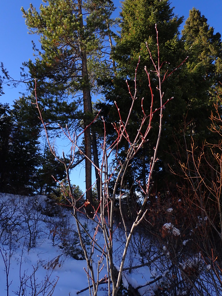 MoonshineHiking · ~7 min drivePhoto: Matt Lavin, CC BY-SA 2.0 (via Flickr)
 Wildhorse Cutoff TrailHiking · ~8 min drivePhoto: Forest Service - Northern Region, Public Domain Mark (via Flickr)
 BlackmoreHiking · ~9 min drivePhoto: Matt Lavin, CC BY-SA 2.0 (via Flickr)WestshoreHiking · ~8 min drivePhoto: Matt Lavin, CC BY-SA 2.0 (via Flickr)
Best months: July–September. Best months have typical highs of 55–85 °F, lows of 30 °F or warmer (32 °F where the station doesn't record snow), at most one snowy day and no more than 12 wet days.
Jan
30° / 9°
13 wet
Feb
34° / 9°
11 wet
Mar
42° / 17°
12 wet
Apr
48° / 23°
11 wet
May
58° / 30°
14 wet
Jun
67° / 36°
14 wet
Jul
78° / 41°
11 wet
Aug
77° / 39°
11 wet
Sep
68° / 33°
10 wet
Oct
53° / 25°
10 wet
Nov
37° / 16°
11 wet
Dec
27° / 9°
14 wet
Typical high / low (°F) and days with rain or snow, 1991–2020. Measured at Big Sky 2wnw, MT, 25 mi away at 6,590 ft. This station doesn't record snowfall. Source: NOAA NCEI U.S. Climate Normals 1991–2020.
