Hyalite Below Dam Camping
Campground
Campground · 0.8 mi from the trail
 Photo: Matt Lavin, CC BY-SA 2.0 (via Flickr)
Closure in the area
There's a closure order in Bozeman Ranger District. It doesn't name Blackmore, so check the source for the area it covers (16 listed).
Sourdough/Bozeman Creek Trailhead and Trail Closure
Agency closure covering Bozeman Ranger District · Order 01-11-06-27-02 · USFS · Bozeman Ranger District
NFSR #1700 South Plateau Road Closure
Agency closure covering Custer Gallatin National Forest · USFS · Custer Gallatin National Forest
Storm Castle Creek Trail #185 Temporarily Closed Due to Storm Damage
Agency closure covering Bozeman Ranger District · Order 01-11-06-26-07 · USFS · Bozeman Ranger District
Hyalite Porcupine Buffalo Horn Summer Interim Travel Order and Map and Order # 01-11-00-26-02
Agency closure covering Custer Gallatin National Forest · Order 01-11-00-26-02 · USFS · Custer Gallatin National Forest
Hyalite Porcupine Buffalo Horn Winter Interim Travel Order and Map Order Number: #01-11-00-26-01
Agency closure covering Custer Gallatin National Forest · USFS · Custer Gallatin National Forest
As of · Source: USFS · Bozeman Ranger District. Agencies don't list every closure — check before you go.
Blackmore is a hard hike in Montana's Custer Gallatin National Forest, within the Bozeman Ranger District. It is a 12.2-mile out-and-back that climbs from about 6,720 feet to a high point of 10,151 feet, with an elevation gain of 2,955 feet. The trail is open year-round, and the Forest Service manages the land. Bikes and horses are both allowed on the natural-surface route. The Blackmore trailhead parking area, named BLACKMORE, sits at the start of the route. Close by are the Black Crescent mountain biking area and the Crescent Lake hike, both within half a mile. Hood Creek campground is about 0.9 miles away. Climbers can find Swamp Rock about 2.2 miles off.
Hyalite Below Dam Camping
Campground
Blacksmith Italian
Restaurant
Places © OpenStreetMap contributors
More in EmigrantNot on Roamze yet. Their page has how to reach them.
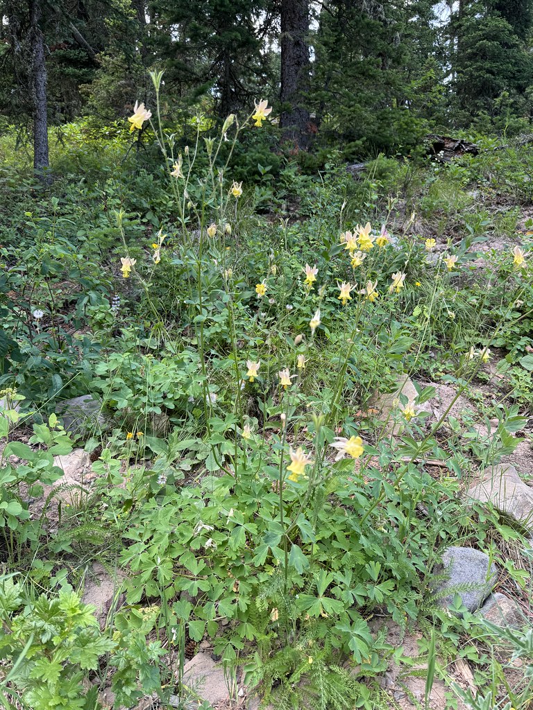 Photo: Matt Lavin, CC BY-SA 2.0 (via Flickr)
Crescent Lake
Next door
2.66-mile out-and-back trail to Crescent Lake in Montana with 148 ft of elevation gain.
 Photo: Matt Lavin, CC BY-SA 2.0 (via Flickr)
Westshore
~1 min drive
5.99-mile out-and-back trail in Montana with 130 ft of elevation gain.
Photo: Matt Lavin, CC BY-SA 2.0 (via Flickr)Hyalite Canyon
~1 min drive
10.53-mile out-and-back trail in Montana with 323 ft elevation gain.
HIKE
Storm Castle Creek Trail
~10 min drive
15.5-mile out-and-back trail in Montana with 4,109 ft elevation gain/loss.
 Photo: Forest Service - Northern Region, Public Domain Mark (via Flickr)
Hood Creek Trail
~2 min drive
2.48-mile out-and-back hike in Montana with 854 ft gain and 7,537 ft max elevation.
 Photo: Forest Service - Northern Region, Public Domain Mark (via Flickr)
Lower Wildhorse Lick Trail
~2 min drive
8.52-mile out-and-back trail in Montana with 1,661 ft elevation gain
 Photo: Forest Service - Northern Region, Public Domain Mark (via Flickr)
East Fork Divide
~5 min drive
4.96-mile out-and-back trail in Montana with 2,455 ft elevation gain.
Photo: Forest Service - Northern Region, Public Domain Mark (via Flickr)Wildhorse Cutoff Trail
~2 min drive
0.6-mile out-and-back trail in Montana with 156 ft elevation gain.
 Photo: Matt Lavin from Bozeman, Montana, USA, CC BY-SA 2.0 (via Wikimedia Commons)
Hyalite Creek
~10 min drive
3.70-mile out-and-back trail in Montana with 1,067 ft gain.
Photo: Forest Service - Northern Region, Public Domain Mark (via Flickr)Emerald Lake Trail
~5 min drive
10.92-mile out-and-back trail in Montana with 2,708 ft elevation gain
Park at BLACKMORE.
Season: Year-round.
About 12.2 mi round trip from BLACKMORE (about 7,164 ft).
About 2,955 ft of climbing round trip.
It is rated hard.
BLACKMORE (about 7,164 ft).
About 5.5 hours round trip.
Year-round.
Daily highs and lows, wind and the chance of precipitation at the summit and route start for the next 7 days, from the Open-Meteo model.
