Ben Rover Cabin
Campground
Sites open the weekend of Dec 18 on Recreation.gov
Alert in the area
The Forest Service lists 6 alerts for Flathead National Forest.
Ashley Lake North Campground Closure
Agency alert covering Flathead National Forest · Order 01-10- · USFS · Flathead National Forest
Camp Creek Fire Updated Trail Closure
Agency alert covering Flathead National Forest · Order 01-10- · USFS · Flathead National Forest
FK&L Area Closed to Public Access Starting July 22, 2026
Agency alert covering Flathead National Forest · Order 01-10- · USFS · Flathead National Forest
Trail 800 Tally-Ashely Closure
Agency alert covering Flathead National Forest · Order 01-10- · USFS · Flathead National Forest
Ryan Creek Occupancy and Use Order
Agency alert covering Flathead National Forest · Order 1-10- · USFS · Flathead National Forest
As of · Source: USFS · Flathead National Forest. Agencies don't list every closure — check before you go.
Cyclone Peak Trail is a 2-mile hike in the Glacier View Ranger District of Flathead National Forest in northwest Montana, managed by the Forest Service. The route is an out-and-back that reaches a high point of about 6,015 feet, with a total gain of roughly 2,029 feet for the round trip. The climb is steady, and the steepest section comes at about 1.6 miles, where the grade reaches 31%. The trail starts at about 5,012 feet and climbs to the peak before returning. That makes it a moderate hike, with the most demanding stretch near the middle of the route. Ben Rover Cabin sits about 4 miles away, and Moose Lake Campground is about 7 miles off, so it's easy to plan an overnight stay. Coal Ridge and Moran Creek are both within about 3 miles, and Quartz Creek offers canoeing a little farther out.
Ben Rover Cabin
Campground
Places © OpenStreetMap contributors
More in WhitefishNot on Roamze yet. Their page has how to reach them.
Daily highs and lows, wind and the chance of precipitation at the summit and route start for the next 7 days, from the Open-Meteo model.
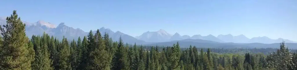 Schnaus CabinCampingPhoto: Recreation.gov (RIDB) / public domain8 mi
Source: Roamze catalog (indexable pages within 10 miles, PostGIS distance)
 Covey Meadow Loop TrailHiking · ~8 min drivePhoto: trukdotcom, CC BY-SA 3.0 (via Wikimedia Commons)
 Moose PeakHiking · ~12 min drivePhoto: Forest Service - Northern Region, Public Domain Mark (via Flickr)
 Quartz Lake LoopHiking · ~16 min drivePhoto: lamblukas, CC BY 2.0 (via Flickr)
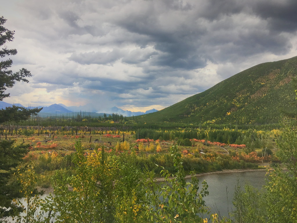 Demers RidgeHiking · ~19 min drivePhoto: alex ranaldi, CC BY-SA 2.0 (via Flickr)Covey Meadow Ski TrailHiking · ~8 min drivePhoto: trukdotcom, CC BY-SA 3.0 (via Wikimedia Commons)
 Akokala Lake TrailHiking · ~16 min drivePhoto: Mobilus In Mobili, CC BY-SA 2.0 (via Flickr)Numa Ridge Lookout TrailHiking · ~17 min drivePhoto: Mobilus In Mobili, CC BY-SA 2.0 (via Flickr)
 Kishenehn TrailHiking · ~24 min drivePhoto: GlacierNPS, Public domain (via Wikimedia Commons)
About 2.0 mi round trip.
About 2,029 ft of climbing round trip.
It is rated moderate.
About 1.5 hours round trip.
Map and trail data © OpenStreetMap contributors
