

North American RV Park & Yurt Village
Hiking business nearby (~26 mi away) — hasn't claimed their Roamze page yet
Free — you'll pick up right here.
Watch this trail
Sign up to watch it — saving subscribes you to gate, closure and report changes.
Montana
5.6 mi
Distance
1,629 ft
Gain
2h 41m
Time
We won't guess. Here is exactly what we do and don't know.
What we do know
Inside Flathead National Forest
2 managing-area boundaries mapped — agency alerts for them feed this page automatically.
Boundary data
What's missing
No access route mapped
We don't yet know which road reaches this trailhead, so we can't tell you if it's gated.
Nobody's filed a report here yet — be the first.
Why you'll love it
Moran Creek
AI-suggested draft · review before you go
No permit or access details on file for this trail — check with the local land manager before you go.
Moran Creek Trail is a moderate 5.6-mile hike gaining nearly 1,630 feet through Montana's backcountry. This trail follows Moran Creek drainage, offering hikers a rewarding climb through forested terrain with creek-side sections that provide scenic water features and riparian habitat. The steady elevation gain makes this a solid half-day adventure for intermediate hikers seeking solitude and mountain scenery.
Numa Lookout Trailhead
~17 min drive
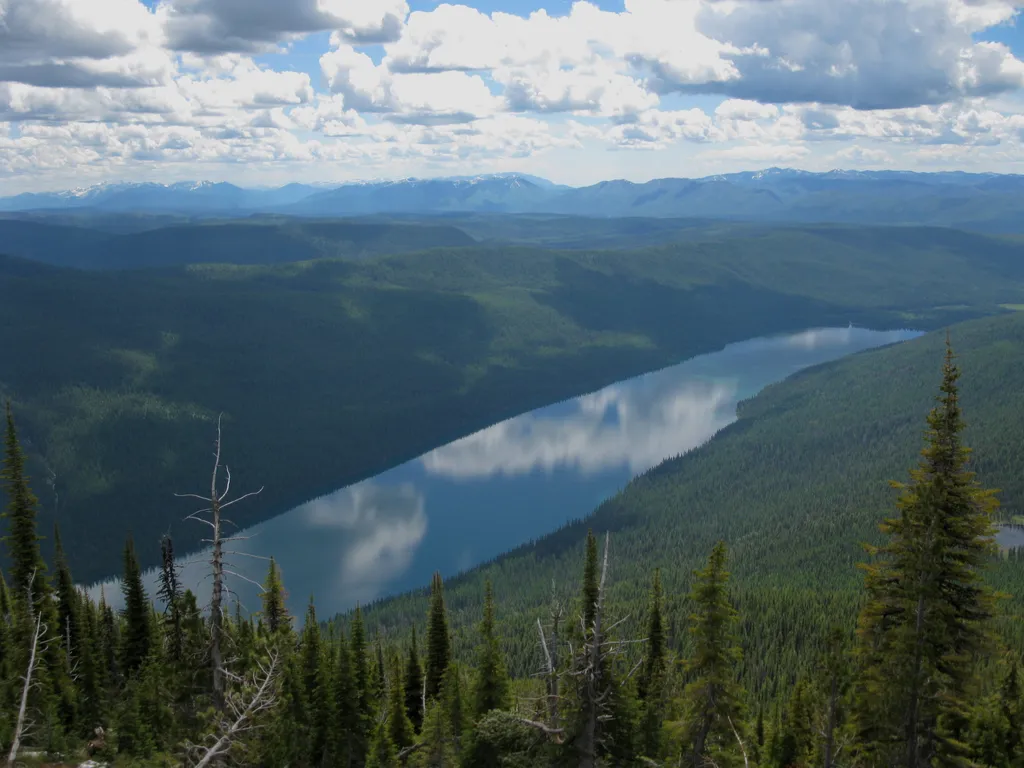
This trail takes you to one of the (seasonally) staffed fire lookouts in the park. It starts on the shore of Bowman Lake, with the first half remaining relatively flat before gaining elevation. Numa Lookout Distance: 5.7 mi (9.2 km), one way Elevation gain: 3,396 ft (1035 m)…
Coal Ridge
~5 min drive
Moderate 13.73-mile ridge hike with 1,168 ft elevation gain near Coal Ridge, Montana.
Coal Creek Coal Ridge
~6 min drive
Steep 3.78-mile ridge climb with 2,463 ft elevation gain.
Haines Pass
~12 min drive
Scenic 2.8-mile alpine pass with 858 ft elevation gain.
Forest and Fire Nature Trail
~24 min drive
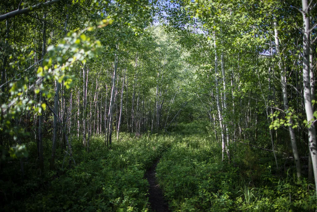
Welcome to the Forest & Fire Nature Trail. Depending on where you’re from, the word “wildfire” can be letters on a page or... a whole lot more. For some, the word “wildfire” can trigger dramatic and visceral recall of the sights, sounds, smells, and tastes of the earth on fir…
Moose Creek
~13 min drive
Moderate 10.61-mile backcountry trail with 2,067 ft elevation gain.
Moose Peak
~14 min drive
Moderate 5.5-mile peak hike with 1,821 ft gain and mountain views.
Coal Ridge
~13 min drive
Steep 1-mile climb with 546 ft elevation gain near Coal Ridge.
Hidden Meadow Trailhead
~10 min drive
This peaceful and relatively flat trail takes you to a meadow and pond with good birding opportunities. Hidden Meadow Distance: 1.5 mi (2.4 km), one way Elevation gain: 337 ft (103 m) Elevation loss: 103 ft (31 m) Trailhead: 3 miles south of Polebridge Ranger Station While i…
Hallowat Creek
~16 min drive
Moderate 7.85-mile creek drainage hike with 975 ft elevation gain.
Local operatorsoffering guided trips. You book directly with them — Roamze doesn’t take a cut.
North American RV Park & Yurt Village
Hiking business nearby (~26 mi away) — hasn't claimed their Roamze page yet
Indian Springs Montana
Hiking business nearby (~33 mi away) — hasn't claimed their Roamze page yet
Rocky Mountain Outfitter
Hiking business nearby (~38 mi away) — hasn't claimed their Roamze page yet