Northern American RV Park & Yurt Village
Campground
Campground · 6.1 mi from the trail
Caution today
Agency alerts are in effect for this area; weather is good · USFS, OpenWeather · checked 11 h ago
Alert in the area
The Forest Service lists 5 alerts for Flathead National Forest.
Camp Creek Fire Updated Trail Closure
Agency alert covering Flathead National Forest · Order 01-10- · USFS · Flathead National Forest
FK&L Area Closed to Public Access Starting July 22, 2026
Agency alert covering Flathead National Forest · Order 01-10- · USFS · Flathead National Forest
Trail 800 Tally-Ashely Closure
Agency alert covering Flathead National Forest · Order 01-10- · USFS · Flathead National Forest
Ryan Creek Occupancy and Use Order
Agency alert covering Flathead National Forest · Order 1-10- · USFS · Flathead National Forest
Logan Creek Hoke Creek Closure
Agency alert covering Flathead National Forest · Order 01-10- · USFS · Flathead National Forest
As of · Source: USFS · Flathead National Forest. Agencies don't list every closure — check before you go.
Cedar Ridge is a moderate hike of about 4.2 miles in the Glacier View Ranger District of Flathead National Forest in northwest Montana, managed by the Forest Service. The trail is an out-and-back with a one-way climb of about 325 feet, from a low point of roughly 3,400 feet to a high of about 3,720 feet. Summer is the most comfortable time to go. Typical averages from the nearby Hungry Horse Dam weather station show July highs around 82°F with lows near 53°F and only about seven wet days, while winter highs stay near freezing. The trail is on natural surface and allows both horses and bikes. Bear Foot is a hike just 0.2 miles away, and the Waving Bear and Bear Foot B mountain biking routes are within half a mile. Turkey Trot is about a mile off.
Northern American RV Park & Yurt Village
Campground
The Bruck Bus-Truck
Attraction
Places © OpenStreetMap contributors
More in WhitefishNot on Roamze yet. Their page has how to reach them.
Best months: May–September. Best months have typical highs of 55–85 °F, lows of 30 °F or warmer (32 °F where the station doesn't record snow), at most one snowy day and no more than 12 wet days.
Jan
31° / 20°
14 wet
Feb
34° / 20°
11 wet
Mar
43° / 25°
13 wet
Apr
52° / 32°
12 wet
May
64° / 40°
12 wet
Jun
71° / 47°
12 wet
Jul
82° / 53°
7 wet
Aug
81° / 52°
6 wet
Sep
69° / 44°
8 wet
Oct
52° / 35°
11 wet
Nov
38° / 27°
14 wet
Dec
31° / 21°
15 wet
Typical high / low (°F) and days with rain or snow, 1991–2020. Measured at Hungry Horse Dam, MT, 9 mi away at 3,160 ft. The station sits about 600 ft lower than this place, so expect it a little cooler here. This station doesn't record snowfall. Source: NOAA NCEI U.S. Climate Normals 1991–2020.
 Photo: Forest Service - Northern Region, Public Domain Mark (via Flickr)
Old Flathead River RS
~9 min drive
16.54-mile out-and-back trail in Montana with 430 ft elevation gain.
 Photo: cjennr76, CC BY 2.0 (via Flickr)
Dakota Ave Shared Use Path
~14 min drive
0.78-mile out-and-back trail in Montana with 57 ft elevation gain.
 Photo: jasonwoodhead23, CC BY 2.0 (via Flickr)
Reservoir Trail
~14 min drive
10.04-mile out-and-back hike in Montana with 2,396 ft elevation gain and loss.
 Photo: Donnie Clapp for Whitefish Mountain Resort, CC BY-SA 4.0 (via Wikimedia Commons)
Runaway Train
~16 min drive
5.77-mile out-and-back trail in Montana with 678 ft gain and 2,454 ft loss.
HIKE
Apgar Lookout Trailhead
~15 min drive
This trail leads to the Apgar Fire Lookout, offering an expansive view of Lake McDonald and the surrounding valley. This particular view is shared online via a live webcam. The webcam view is available at www.nps.gov/glac. Apgar Fire Lookout Distance: 3.6 mi (5.8 km), one wa…
 Photo: Slipshod Photog, CC BY 2.0 (via Flickr)
Danny on - Long Way
~15 min drive
3.60-mile out-and-back trail in Montana with 572 ft gain.
Photo: cjennr76, CC BY 2.0 (via Flickr)Fish Trails Bike and Pedestrian Path
~14 min drive
1.6-mile out-and-back trail in Montana with 151 ft elevation gain
Photo: Donnie Clapp for Whitefish Mountain Resort, CC BY-SA 4.0 (via Wikimedia Commons)Kashmir
~16 min drive
6.64-mile out-and-back trail in Montana with 248 ft gain and 1,682 ft loss.
 Photo: Ken Lund, CC BY-SA 2.0 (via Flickr)
COLUMBIA MTN. LOOP
~8 min drive
20.1-mile out-and-back out-and-back in Montana with 7,758 ft elevation gain
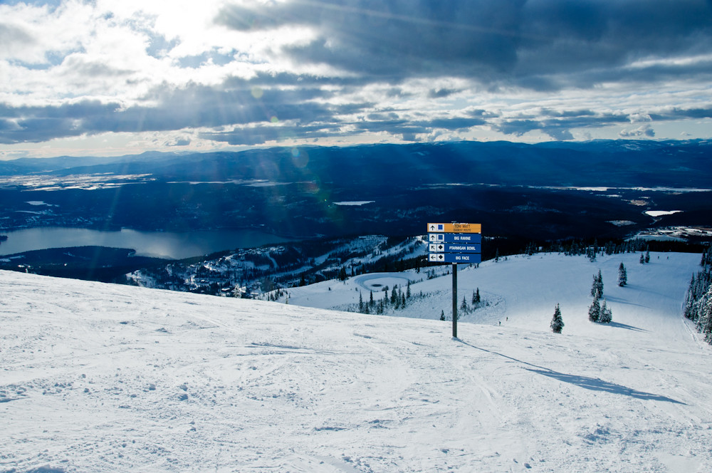 Photo: Slipshod Photog, CC BY 2.0 (via Flickr)
Freebird
~16 min drive
4.70-mile out-and-back trail in Montana with 350 ft gain and 2,002 ft loss.
