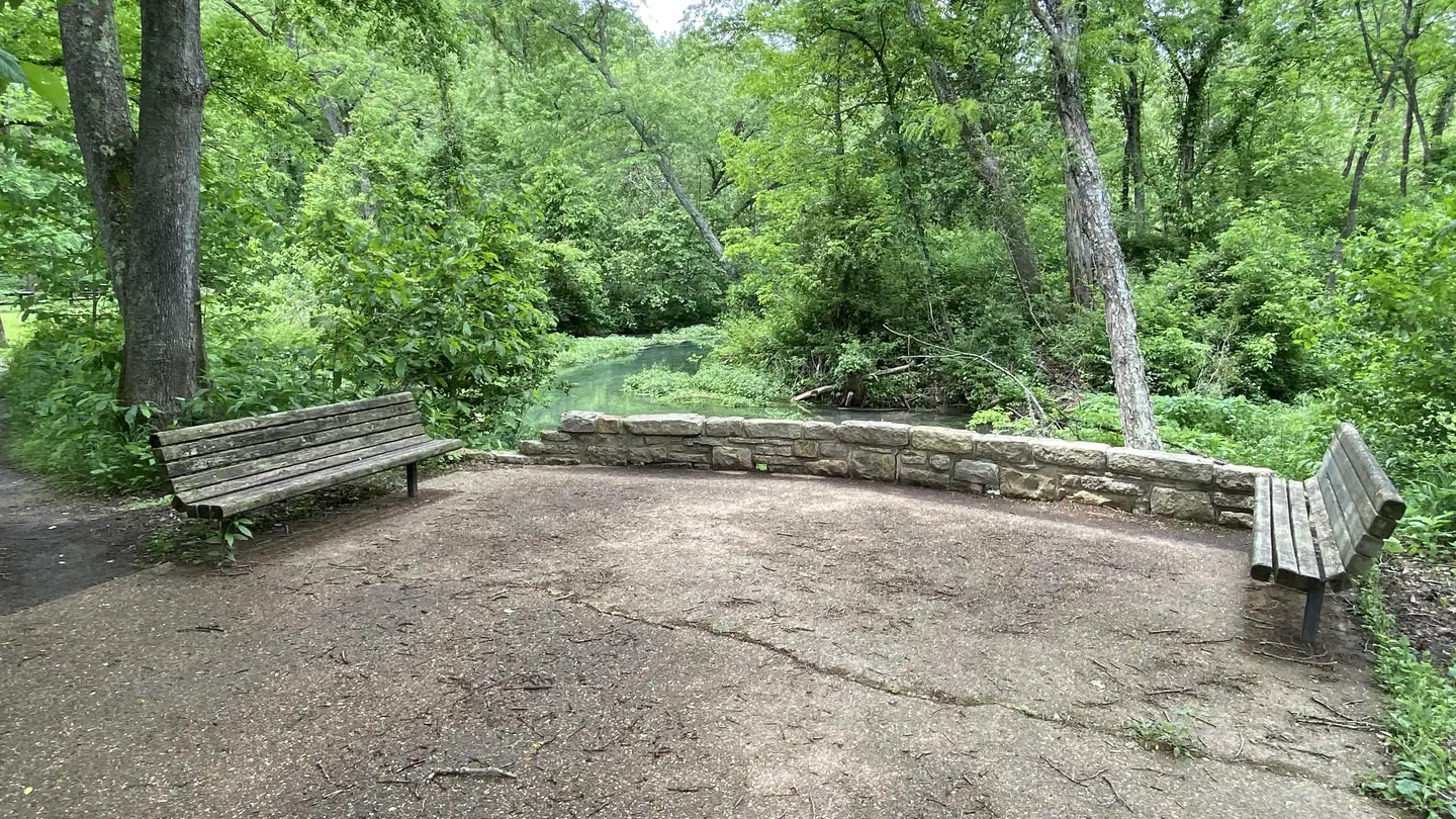
Maramec Spring Branch
- Easy
- difficulty
- Apr–Jun, Sep–Oct
- best months
Maramec Spring Branch is a stream in Missouri, about 3 miles from Boys Town of Missouri. The land is privately managed by the James Foundation. It is a simple fishing destination, and the trip in is easy. Spring and fall are the most comfortable times to visit. Typical averages from a nearby weather station in Steelville put May highs around 77°F and October highs near 70°F, while July averages climb to about 88°F. For more time on the water, the Bourbeuse River, a paddling route, lies about 10 miles away.
Source: Roamze catalog (indexable pages within 10 miles, PostGIS distance)
- Lane Spring Recreation AreaRiver fishing · ~35 min drive
- Council Bluff Recreation AreaLake fishing · ~1h 3m drive
- Loggers Lake CampgroundPier fishing · ~1h 13m drive
- Current RiverRiver fishing · ~1h 2m drive
- AkersRiver fishing · ~1h 8m drive
- Highway LakeLake fishing · ~25 min drive
- PulltiteRiver fishing · ~1h 14m drive
- Blues PondLake fishing · ~25 min drive
- Sutton Bluff Recreation AreaRiver fishing · ~1h 16m drive
- Kozlowski LakeLake fishing · ~28 min drive
Best time to visit Maramec Spring Branch
Best months: April–June and September–October. Best months have typical highs of 55–85 °F, lows of 30 °F or warmer (32 °F where the station doesn't record snow), at most one snowy day and no more than 12 wet days.
Jan
42° / 19°
Feb
48° / 21°
Mar
57° / 29°
Apr
69° / 39°
May
77° / 50°
Jun
84° / 58°
Jul
88° / 63°
Aug
87° / 60°
Sep
79° / 51°
Oct
70° / 39°
Nov
56° / 29°
Dec
46° / 22°
Typical high / low (°F) and days with rain or snow, 1991–2020. Measured at Steelville 2 N, MO, 9.4 mi away at 700 ft. This station doesn't record snowfall. Source: NOAA NCEI U.S. Climate Normals 1991–2020.