Pulltite
- Mar–Jun, Sep–Nov
- best months
Clear today
Weather is good · OpenWeather · checked 11 h ago
Is Pulltite open right now?
Closure in the area
There's a closure order in Ozark National Scenic Riverways. It doesn't name Pulltite, so check the source for the area it covers.
Round Spring Pavilion Parking Area Closed
Park closure covering Ozark National Scenic Riverways · NPS · Ozark National Scenic Riverways
River Ferry at Akers (on State Highway K) CLOSED until further notice
Park alert covering Ozark National Scenic Riverways · NPS · Ozark National Scenic Riverways
As of · Source: NPS · Ozark National Scenic Riverways. Agencies don't list every closure — check before you go.
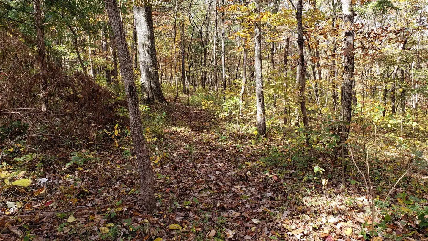
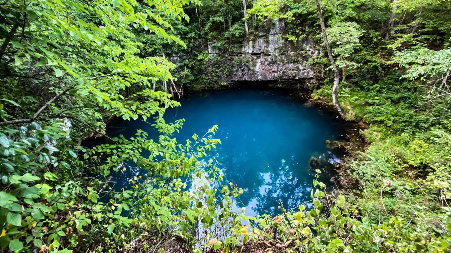
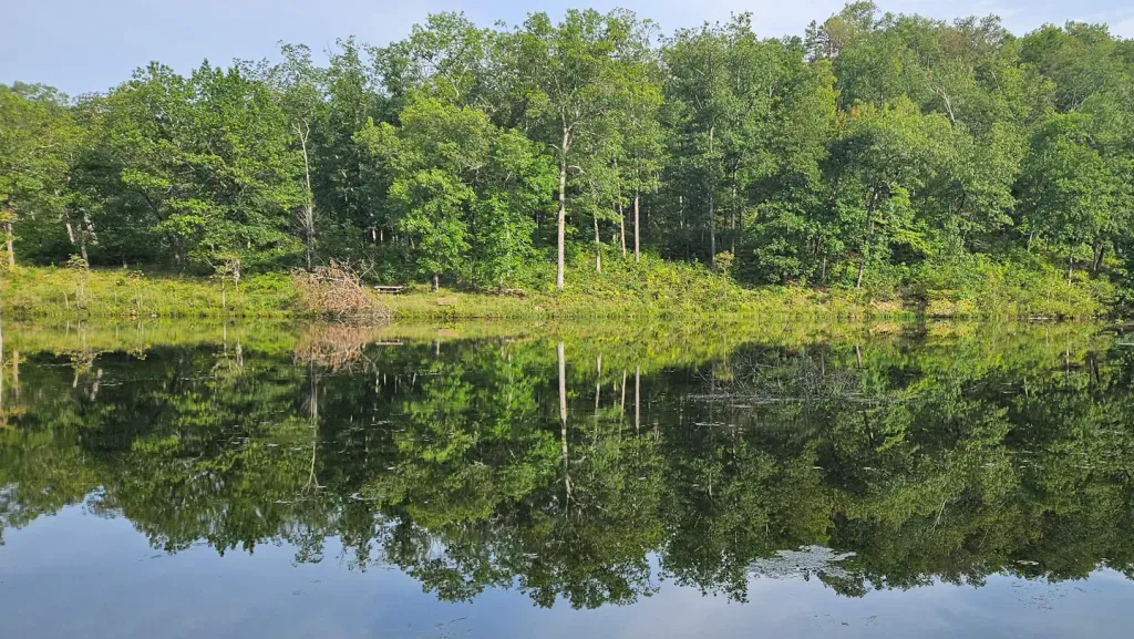
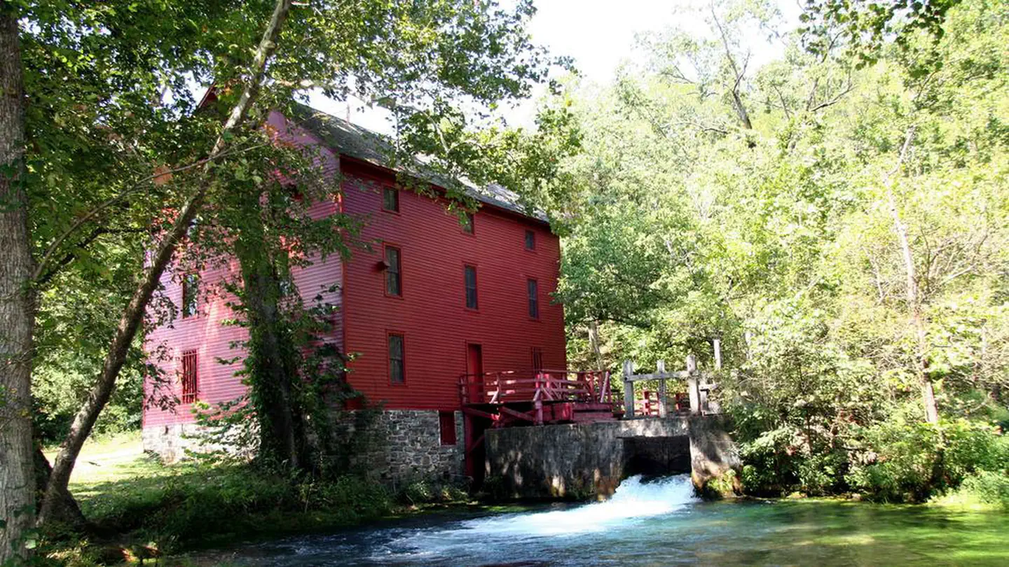
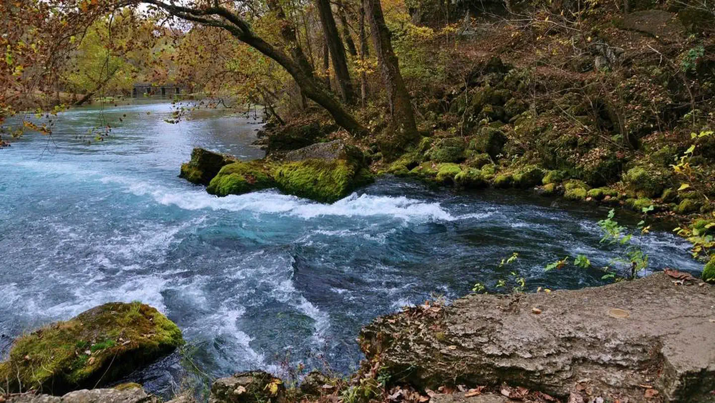
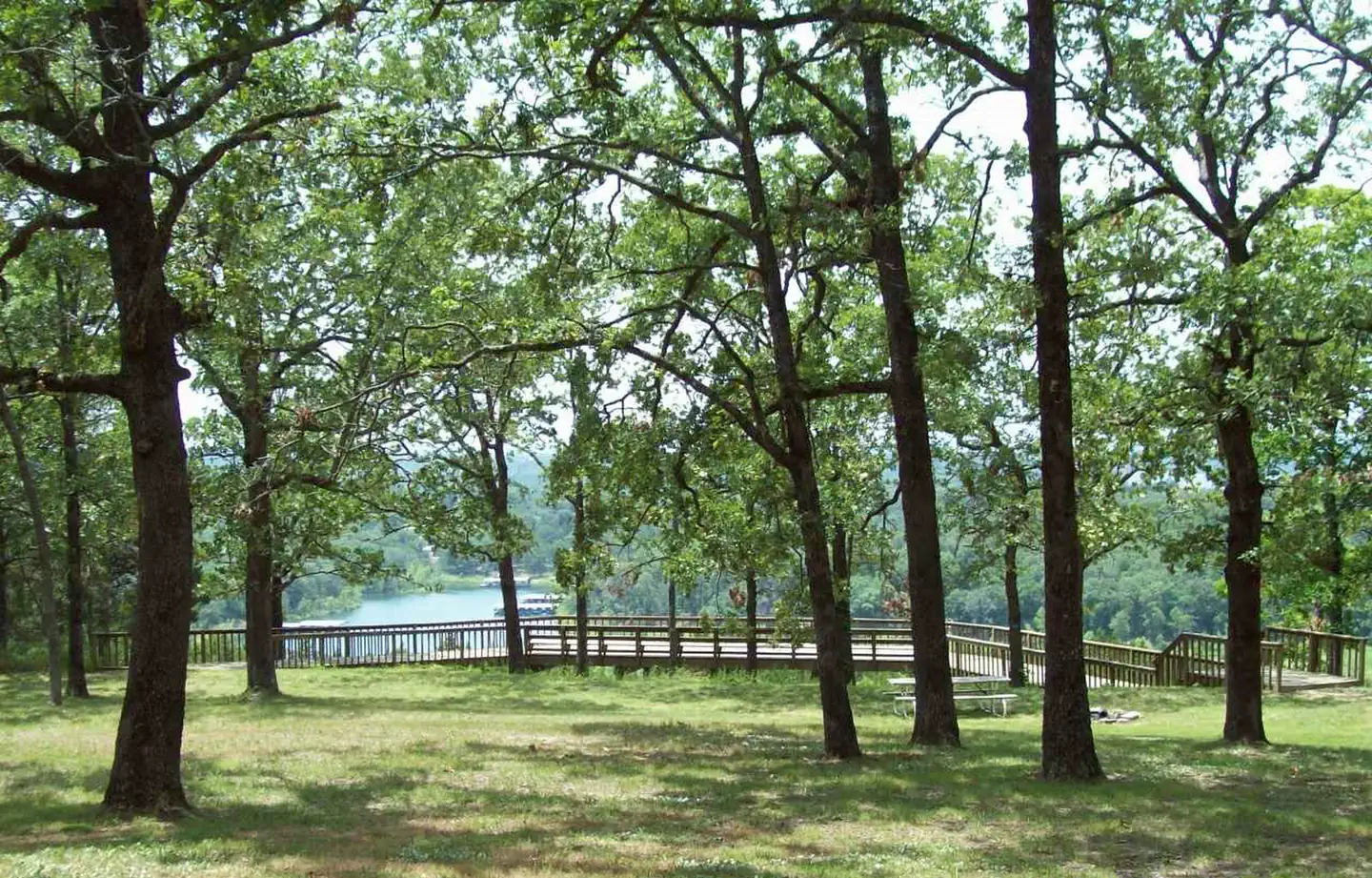
Overview In the rolling, forested landscapes around Pulltite, two of America's most beautiful spring-fed rivers combine to make up the Ozark National Scenic Riverways. As the first national park area to protect a wild river system, visitors have plenty of scenic water activities to enjoy as well as hiking, horseback riding and wildlife viewing.Recreation The Current River flows past the campground, offering excellent canoeing, tubing, swimming and fishing. Over 130 miles of waterways exist within the park. Canoe and kayak rentals and outfitters can be found nearby. The historic Pulltite Cabin is across the river from the campground. The only way to see the cabin is by boat or by wading across the river. The cabin is next to scenic Pulltite Spring, for which the campground is named. Several miles of hiking and horseback riding trails crisscross the region, include the Alley Overlook Trail, Chubb Hollow Trail, Ozark Trail, Cave Spring Trail and Big Springs Trail.Facilities This year-round campground has flush toilets and showers facilities available April 15 through October 15. Due to flood damage, beginning Oct 15, 2025 Pulltite campground will revert to one vault toilet located at the end of the campground near the group sites. Please plan and book your site accordingly. Picnic tables, fire rings, and grills are provided. Roads and parking spurs are paved. Ranger-led campfire programs are offered in the campground amphitheater during summer months.Natural Features The Ozark National Scenic Riverways is known for its caves, springs, sinkholes and losing streams, and features over 300 identified caves within its boundaries. They range in size from a rock overhang to almost seven miles of identified passages. Eight caves, including an open sinkhole, have been designated as outstanding natural features. The Ozark forest is mostly White oak and Shortleaf pine, Missouri's only native pine species. Along the rivers, Sycamore, Cottonwood, River birch and maples are common. Redbud and Dogwoods are also abundant, putting on a spectacular show during most spring months. Contact Info This location is unstaffed. To speak with our main office for general information, please call: (573) 323-4236. Nearby Attractions Scenic Round Spring Cave is nearby, with ranger-guided tours offered daily during summer months. Historic and picturesque Alley Mill and Alley Spring are also nearby. The mill is open daily in the summer and rangers offer tours upon request.
Best time to go · Mar–Jun, Sep–Nov
Best time to visit Pulltite
Best months: March–June and September–November. Best months have typical highs of 55–85 °F, lows of 30 °F or warmer (32 °F where the station doesn't record snow), at most one snowy day and no more than 12 wet days.
Jan
45° / 20°
8 wet · 1 snow
Feb
50° / 23°
8 wet · 2 snow
Mar
60° / 32°
9 wet · 1 snow
Apr
71° / 40°
10 wet
May
78° / 51°
12 wet
Jun
85° / 60°
10 wet
Jul
90° / 65°
9 wet
Aug
88° / 63°
9 wet
Sep
81° / 54°
8 wet
Oct
71° / 41°
8 wet
Nov
59° / 32°
8 wet
Dec
47° / 24°
8 wet
Typical high / low (°F) and days with rain or snow, 1991–2020. Measured at Round Spring 2sw, MO, 6 mi away at 829 ft. Source: NOAA NCEI U.S. Climate Normals 1991–2020.


Facts about this water
Rules & access
- Fee
- No fee
Source: National Park Service API; Recreation.gov (RIDB)
Keep exploring — more waters worth the drive
SEE
Round Spring
~9 min drive
SEE
Loggers Lake Campground
~21 min drive
SEE
Bluff View(clearwater Lake)
~1h 8m drive
SEE
Jacks Fork
~22 min drive
Jacks Fork is a river in Missouri.
SEE
Maramec Spring Branch
~1h 14m drive
Maramec Spring Branch is a stream in Missouri.
SEE
Akers
~10 min drive
SEE
Pinewoods Lake Rec Area
~1h 22m drive
SEE
Council Bluff Recreation Area
~1h 7m drive
SEE
Current River
~24 min drive
Current River is a river in Missouri.
SEE
Alley Spring
~22 min drive
Also worth it near here
