Lane Spring Recreation Area
- Apr, Jun
- best months
Is Lane Spring Recreation Area open right now?
Closure in the area
There's a closure order in Houston/Rolla/Cedar Creek Ranger District. It doesn't name Lane Spring Recreation Area, so check the source for the area it covers.
Forest Closure - Bridge Replacement at Paddy Creek
Agency closure covering Houston/Rolla/Cedar Creek Ranger District · Order 09-05-03-26-01 · USFS · Houston/Rolla/Cedar Creek Ranger District
Crane Lake Dam
Agency alert covering Mark Twain National Forest · USFS · Mark Twain National Forest
Delays on Forest Road 557
Agency alert covering Mark Twain National Forest · USFS · Mark Twain National Forest
Forest Order - Trail 119 Closure Extended (Chadwick Motorized Trail System)
Agency alert covering Mark Twain National Forest · USFS · Mark Twain National Forest
Weather Conditions
Agency alert covering Mark Twain National Forest · USFS · Mark Twain National Forest
As of · Source: USFS · Houston/Rolla/Cedar Creek Ranger District. Agencies don't list every closure — check before you go.
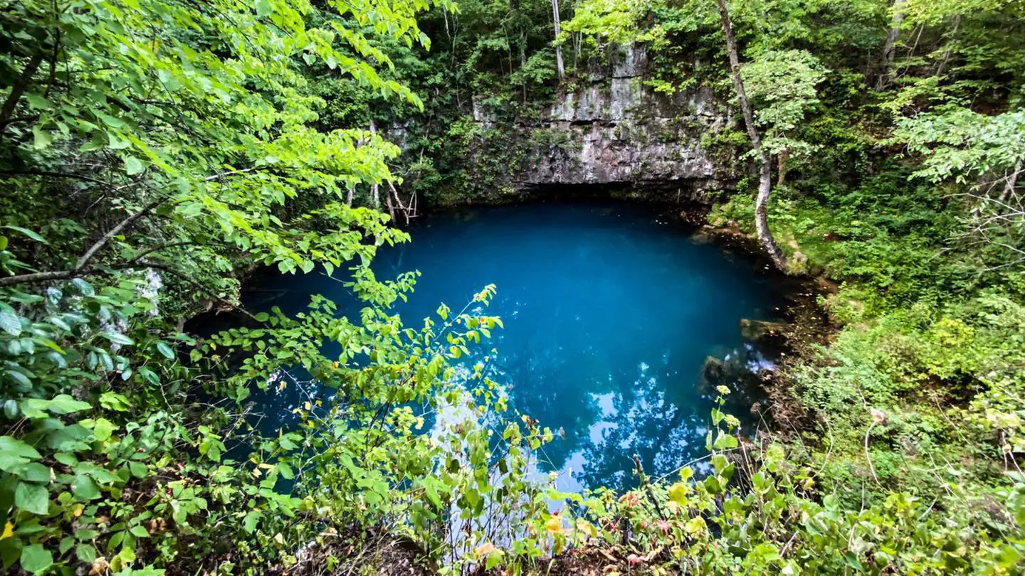
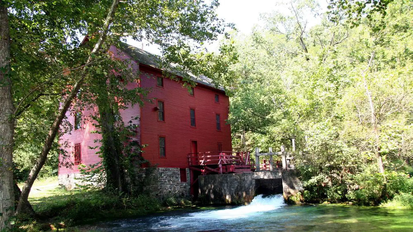
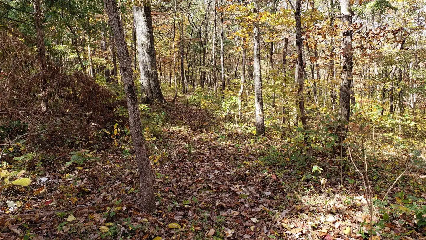
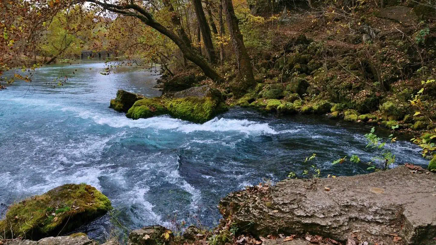
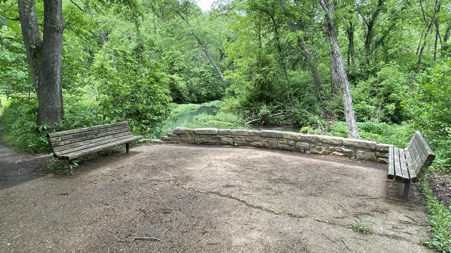
Overview Lane Spring Recreation Area provides a peaceful setting along Little Piney Creek and a scenic patio overlooking beautiful Lane Spring. A large, accessible picnic area with two pavilions can be reserved. The site has multiple first come first serve campsites if an overnight stay is desired. A variety of outdoor recreation opportunities are in the area.Recreation Trout fishing is popular along the portion of the creek nearest Lane Spring, as it is managed by a wild trout fishery. The fish population is self-sustained instead of being stocked. Only artificial lures and flies may be used, and a daily limit is applied of one trout measuring 18 inches or longer. Bass and sunfish are also plentiful. The 1.25-mile Blossom Rock Trail and the 1.5-mile Cedar Bluff Trail traverse through lush bottomland vegetation with abundant wildflowers, before climbing to views of the river and rock outcroppings. Birding and wildlife viewing is popular along the trails.Facilities The recreation area offers a picnic area with two group picnic pavilions, each equipped with tables, grills and electric outlets. Each can accommodate up to 100 people. If unreserved, the pavilions are available on a first-come, first-served basis. Each pavillion has 10-20 parking spots with handicap accessible paths to pavillions. These parking spots are not reservable, however there are additional parking spaces that have access to the spring. Additional individual picnic sites are available near the spring. Several family campsites are available as well. Each site is equipped with a table, lantern post and campfire ring with grill. Vault toilets and drinking water are provided.Natural Features The recreation area is situated along Little Piney Creek, with some waterfront campsites available. A beautiful hardwood forest covers the area, which lies in the northwestern portion of the Mark Twain National Forest. An accessible shaded stone patio overlooks tranquil Lane Spring, a bubbling spring with watercress and native plant species. It is bordered by a variety of trees, including sycamore, cypress, oak and many others.
- Lane SpringCamping0.2 mi
- Blossom RockHiking0.3 mi
- Cedar Bluff TrailHiking0.5 mi
- Kaintuck Trail - South GreenHiking4.7 mi
- Kaintuck Trail South RedHiking4.7 mi
- Kaintuck Trail South BlueHiking4.7 mi
- Kaintuck Trail WhiteHiking6 mi
- Little Piney CreekCanoeing7.8 mi
Source: Roamze catalog (indexable pages within 10 miles, PostGIS distance)
- AkersRiver fishing · ~55 min drive
- Loggers Lake CampgroundPier fishing · ~1h 12m drive
- Council Bluff Recreation AreaLake fishing · ~1h 25m drive
- Maramec Spring BranchRiver fishing · ~35 min drive
- Current RiverRiver fishing · ~43 min drive
- PulltiteRiver fishing · ~1h 4m drive
- Highway LakeLake fishing · ~14 min drive
- Jacks ForkRiver fishing · ~1h 25m drive
- Round SpringRiver fishing · ~1h 13m drive
- Blues PondLake fishing · ~17 min drive
Best time to visit Lane Spring Recreation Area
Best months: April, June and September–November. Best months have typical highs of 55–85 °F, lows of 30 °F or warmer (32 °F where the station doesn't record snow), at most one snowy day and no more than 12 wet days.
Jan
41° / 22°
9 wet · 5 snow
Feb
46° / 26°
9 wet · 4 snow
Mar
56° / 35°
12 wet · 3 snow
Apr
67° / 45°
12 wet · 1 snow
May
76° / 56°
13 wet
Jun
84° / 65°
11 wet
Jul
89° / 69°
9 wet
Aug
88° / 67°
9 wet
Sep
80° / 59°
8 wet
Oct
69° / 47°
9 wet
Nov
56° / 36°
9 wet · 1 snow
Dec
45° / 27°
9 wet · 4 snow
Typical high / low (°F) and days with rain or snow, 1991–2020. Measured at Rolla Missouri S&T, MO, 11.8 mi away at 1,173 ft. Source: NOAA NCEI U.S. Climate Normals 1991–2020.