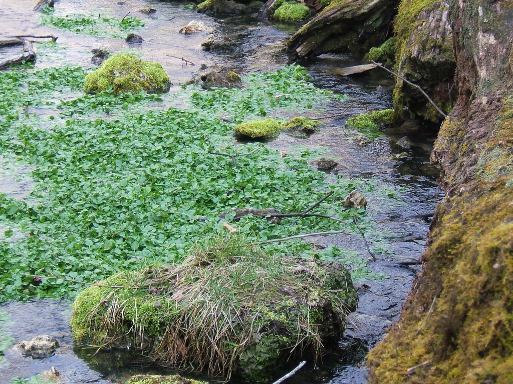
Bourbeuse River
- 7.8 mi
- distance
- 1,007 ft
- high point
- Mar–Apr, Jun
- best months
The Bourbeuse River is a canoeing route in Missouri, about 2.5 miles from the town of Royal. It is a paddling waterway rather than a trail, so there is no climb to plan for, and the distance is listed as 7.8 miles. For comfortable paddling, aim for late spring or early fall. Typical averages from a nearby weather station run around 75°F for highs in May and 79°F in September, while July and August average in the upper 80s. That station sits about 120 feet lower than the river, so temperatures on the water may run slightly cooler. Two other spots are within easy reach. Brush Creek, a canoeing route, is about 6.4 miles away, and Maramec Spring Branch, a river fishing destination, is roughly 9.9 miles off.
Source: Roamze catalog (indexable pages within 10 miles, PostGIS distance)
- Brush CreekCanoeing · ~11 min drive
- Scotts Ford AccessBoat launch · ~17 min drive
- Third CreekCanoeing · ~36 min drive
- Adventure Outdoors LaunchBoat launch · ~17 min drive
- Crooked CreekCanoeing · ~39 min drive
- Riverview AccessBoat launch · ~17 min drive
- Meramec RiverCanoeing · ~40 min drive
- Indian Springs Resort AccessBoat launch · ~18 min drive
- Dry CreekCanoeing · ~40 min drive
- Woodson Woods AccessBoat launch · ~19 min drive
Best time to visit Bourbeuse River
Best months: March–April, June and September–November. Best months have typical highs of 55–85 °F, lows of 30 °F or warmer (32 °F where the station doesn't record snow), at most one snowy day and no more than 12 wet days.
Jan
41° / 22°
8 wet
Feb
46° / 26°
8 wet
Mar
56° / 35°
11 wet
Apr
67° / 45°
12 wet
May
75° / 54°
13 wet
Jun
83° / 63°
11 wet
Jul
88° / 67°
9 wet
Aug
87° / 66°
9 wet
Sep
79° / 58°
8 wet
Oct
68° / 46°
9 wet
Nov
55° / 35°
8 wet
Dec
44° / 27°
8 wet
Typical high / low (°F) and days with rain or snow, 1991–2020. Measured at Vichy Rolla National Ap, MO, 12.4 mi away at 1,127 ft. This station doesn't record snowfall. Source: NOAA NCEI U.S. Climate Normals 1991–2020.