State Access Trail
 Photo: Joe Passe, CC BY-SA 2.0 (via Flickr)
- 1.2 mi
- round trip
- 162 ft
- climb
- 785 ft
- high point
- Out and back
- route
- Apr, Jun–Oct
- best months
State Access Trail is a short, easy out-and-back hike in Minnesota, managed by the U.S. Fish and Wildlife Service and sitting just 0.2 miles from the town of Merriam. The route is about 2.4 miles long, with a total elevation gain of 12 feet, so it's a gentle walk that starts and ends at nearly the same elevation. The trail's high point is 785 feet, and the steepest stretch comes at about 1.1 miles in, with a grade of 2 percent. That makes it a low-effort outing, and the trail is close enough to town to fit into a short visit. For comfortable weather, late spring through early fall works best. Typical averages from a nearby weather station in Chaska show June highs around 78°F and September highs around 73°F, with July the warmest month at about 83°F. Several other trails lie within a short drive. Mazomani Trail is just 0.1 mile away, Jab's Dike Trail is about 1.1 miles off, and the Minnesota Valley State Trail (Louisville Swamp Unit) is roughly 2.1 miles away. Paddlers can find Sand Creek about 8.4 miles from the trail.
- Mazomani TrailHikingPhoto: Joe Passe, CC BY-SA 2.0 (via Flickr)0.1 mi
 Jab's Dike TrailHikingPhoto: Joe Passe, CC BY-SA 2.0 (via Flickr)1.1 mi
- Louisville Swamp Boulder (S/W Twin Cities Metro, near Shakopee)Rock climbing1.5 mi
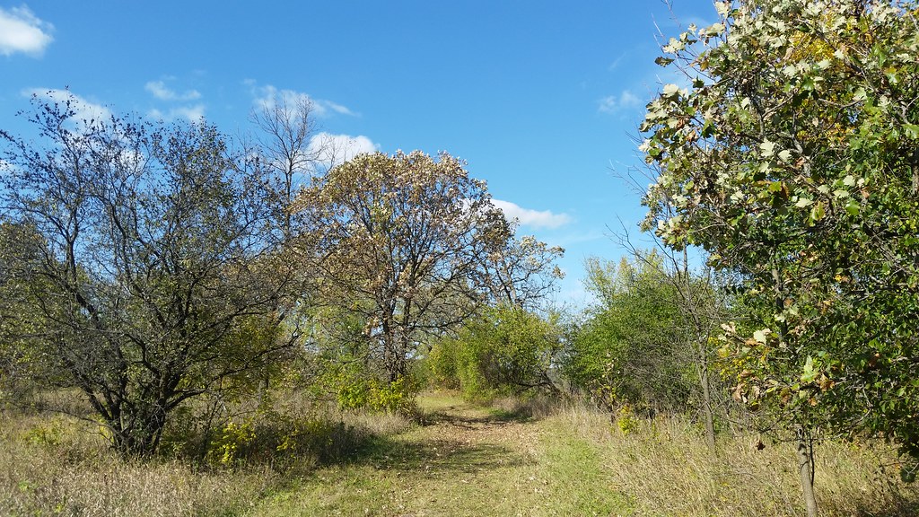 Carver Rapids TrailsHikingPhoto: Joe Passe, CC BY-SA 2.0 (via Flickr)1.7 mi
 Minnesota Valley State Trail (Louisville Swamp Unit)HikingPhoto: Joe Passe, CC BY-SA 2.0 (via Flickr)2.1 mi
- North Hunter Lot TrailHiking2.5 mi
- Sand CreekCanoeing8.4 mi
- Bevens CreekCanoeing8.6 mi
Source: Roamze catalog (indexable pages within 10 miles, PostGIS distance)
- Mazomani TrailHiking · Next doorPhoto: Joe Passe, CC BY-SA 2.0 (via Flickr)
- Jab's Dike TrailHiking · ~2 min drivePhoto: Joe Passe, CC BY-SA 2.0 (via Flickr)
- Minnesota Valley State Trail (Louisville Swamp Unit)Hiking · ~4 min drivePhoto: Joe Passe, CC BY-SA 2.0 (via Flickr)
 Middle Road TrailHiking · ~3 min drivePhoto: Joe Passe, CC BY-SA 2.0 (via Flickr)
 River Bottoms TrailHiking · ~26 min drivePhoto: Joe Passe, CC BY-SA 2.0 (via Flickr)
- Carver Rapids TrailsHiking · ~3 min drivePhoto: Joe Passe, CC BY-SA 2.0 (via Flickr)
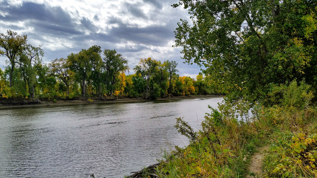 Long Meadow Lake TrailHiking · ~30 min drivePhoto: Joe Passe, CC BY-SA 2.0 (via Flickr)
 Chaska Lake TrailHiking · ~5 min drivePhoto: Wylbur, CC BY 2.0 (via Flickr)
 Voyageur TrekHiking · ~37 min drivePhoto: Joe Passe, CC BY-SA 2.0 (via Flickr)
 Blue Lake TrailHiking · ~16 min drivePhoto: Joe Passe, CC BY-SA 2.0 (via Flickr)
Best time to visit State Access Trail
Best months: April and June–October. Best months have typical highs of 55–85 °F, lows of 30 °F or warmer (32 °F where the station doesn't record snow), at most one snowy day and no more than 12 wet days.
Jan
23° / 4°
7 wet
Feb
27° / 7°
6 wet
Mar
40° / 19°
9 wet
Apr
55° / 33°
11 wet
May
68° / 44°
13 wet
Jun
78° / 56°
12 wet
Jul
83° / 60°
11 wet
Aug
80° / 58°
11 wet
Sep
73° / 50°
10 wet
Oct
58° / 36°
10 wet
Nov
41° / 24°
7 wet
Dec
28° / 12°
8 wet
Typical high / low (°F) and days with rain or snow, 1991–2020. Measured at Chaska 2nw, MN, 5.3 mi away at 923 ft. This station doesn't record snowfall. Source: NOAA NCEI U.S. Climate Normals 1991–2020.
