Middle Road Trail
 Photo: Joe Passe, CC BY-SA 2.0 (via Flickr)
- 1.4 mi
- round trip
- 89 ft
- climb
- 734 ft
- high point
- Out and back
- route
- Apr–Oct
- best months
Middle Road Trail is a 1.44-mile out-and-back hike in Minnesota with 97 feet of elevation gain. The trail follows a straightforward path to its destination and returns via the same route.
- Nearby · Carver Rapids Trails · Minnesota Valley State Trail (Louisville Swamp Unit) · Jab's Dike Trail
Best time to go · Apr–Oct
Best time to visit Middle Road Trail
Best months: April–October. Best months have typical highs of 55–85 °F, lows of 30 °F or warmer (32 °F where the station doesn't record snow), at most one snowy day and no more than 12 wet days.
Jan
22° / 5°
5 wet
Feb
27° / 9°
4 wet
Mar
39° / 21°
6 wet
Apr
55° / 34°
8 wet
May
67° / 46°
10 wet
Jun
77° / 57°
10 wet
Jul
81° / 61°
10 wet
Aug
78° / 58°
9 wet
Sep
72° / 50°
8 wet
Oct
58° / 37°
7 wet
Nov
41° / 25°
5 wet
Dec
27° / 12°
5 wet
Typical high / low (°F) and days with rain or snow, 1991–2020. Measured at Jordan 1ssw, MN, 5 mi away at 900 ft. This station doesn't record snowfall. Source: NOAA NCEI U.S. Climate Normals 1991–2020.
Keep exploring — more trails worth the drive
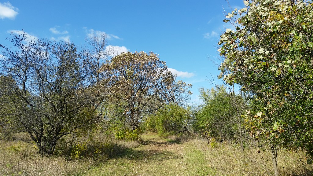 Photo: Joe Passe, CC BY-SA 2.0 (via Flickr)
Carver Rapids Trails
Next door
2.64-mile out-and-back trail in Minnesota with 166 ft elevation gain.
 Photo: Joe Passe, CC BY-SA 2.0 (via Flickr)
Minnesota Valley State Trail (Louisville Swamp Unit)
~2 min drive
5.65-mile out-and-back trail in Minnesota with 407 ft elevation gain.
 Photo: Joe Passe, CC BY-SA 2.0 (via Flickr)
Jab's Dike Trail
~2 min drive
0.51-mile out-and-back trail in Minnesota with 91 ft gain.
 Photo: Joe Passe, CC BY-SA 2.0 (via Flickr)
Mazomani Trail
~3 min drive
5.60-mile out-and-back trail in Minnesota with 429 ft elevation gain.
Photo: Joe Passe, CC BY-SA 2.0 (via Flickr)State Access Trail
~3 min drive
1.19-mile out-and-back trail in Minnesota with 161 ft elevation gain.
 Photo: Joe Passe, CC BY-SA 2.0 (via Flickr)
River Bottoms Trail
~27 min drive
8.68-mile out-and-back hike in Minnesota with 983 ft gain.
 Photo: Wylbur, CC BY 2.0 (via Flickr)
Chaska Lake Trail
~7 min drive
1.78-mile out-and-back trail to Chaska Lake in Minnesota.
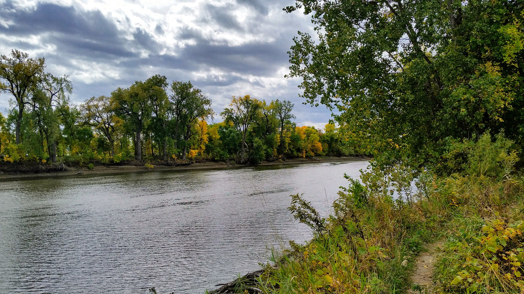 Photo: Joe Passe, CC BY-SA 2.0 (via Flickr)
Long Meadow Lake Trail
~31 min drive
Point-to-point trail to Long Meadow Lake through meadows and forest.
 Photo: Joe Passe, CC BY-SA 2.0 (via Flickr)
Blue Lake Trail
~18 min drive
3.61-mile out-and-back trail in Minnesota with 300 ft elevation gain.
 Photo: Joe Passe, CC BY-SA 2.0 (via Flickr)
Voyageur Trek
~38 min drive
Historic point-to-point trail following a voyageur water route through Minnesota.
