Mazomani Trail
 Photo: Joe Passe, CC BY-SA 2.0 (via Flickr)
- 5.6 mi
- round trip
- 538 ft
- climb
- 764 ft
- high point
- Out and back
- route
- Apr, Jun–Oct
- best months
The Mazomani Trail is a 5.6-mile moderate hike on the Minnesota Valley National Wildlife Refuge in Minnesota, managed by the U.S. Fish and Wildlife Service. The route is an out-and-back that covers about 11 miles round trip, with a total elevation gain of 96 feet. The trail starts at roughly 755 feet and reaches a high point of 764 feet, with the steepest stretch at about 1.7 miles in, where the grade reaches 8 percent. Bikes are allowed on the trail, so it works for both hikers and riders. The most comfortable months for a visit are typically June through September, when typical averages from a nearby weather station in Chaska run from highs around 78°F in June to about 73°F in September. Winters are cold, with January highs near 23°F. The State Access Trail lies just 0.1 mile away, and Jab's Dike Trail is about a mile off. The Louisville Swamp Boulder climbing area and the Minnesota Valley State Trail (Louisville Swamp Unit) are both within about 2 miles.
Best time to go · Apr, Jun–Oct
Best time to visit Mazomani Trail
Best months: April and June–October. Best months have typical highs of 55–85 °F, lows of 30 °F or warmer (32 °F where the station doesn't record snow), at most one snowy day and no more than 12 wet days.
Jan
23° / 4°
7 wet
Feb
27° / 7°
6 wet
Mar
40° / 19°
9 wet
Apr
55° / 33°
11 wet
May
68° / 44°
13 wet
Jun
78° / 56°
12 wet
Jul
83° / 60°
11 wet
Aug
80° / 58°
11 wet
Sep
73° / 50°
10 wet
Oct
58° / 36°
10 wet
Nov
41° / 24°
7 wet
Dec
28° / 12°
8 wet
Typical high / low (°F) and days with rain or snow, 1991–2020. Measured at Chaska 2nw, MN, 5.4 mi away at 923 ft. This station doesn't record snowfall. Source: NOAA NCEI U.S. Climate Normals 1991–2020.
Keep exploring — more trails worth the drive
Photo: Joe Passe, CC BY-SA 2.0 (via Flickr)State Access Trail
Next door
1.19-mile out-and-back trail in Minnesota with 161 ft elevation gain.
 Photo: Joe Passe, CC BY-SA 2.0 (via Flickr)
Minnesota Valley State Trail (Louisville Swamp Unit)
~4 min drive
5.65-mile out-and-back trail in Minnesota with 407 ft elevation gain.
 Photo: Joe Passe, CC BY-SA 2.0 (via Flickr)
Jab's Dike Trail
~2 min drive
0.51-mile out-and-back trail in Minnesota with 91 ft gain.
 Photo: Joe Passe, CC BY-SA 2.0 (via Flickr)
River Bottoms Trail
~26 min drive
8.68-mile out-and-back hike in Minnesota with 983 ft gain.
 Photo: Joe Passe, CC BY-SA 2.0 (via Flickr)
Middle Road Trail
~3 min drive
1.44-mile out-and-back trail in Minnesota with 97 ft elevation gain.
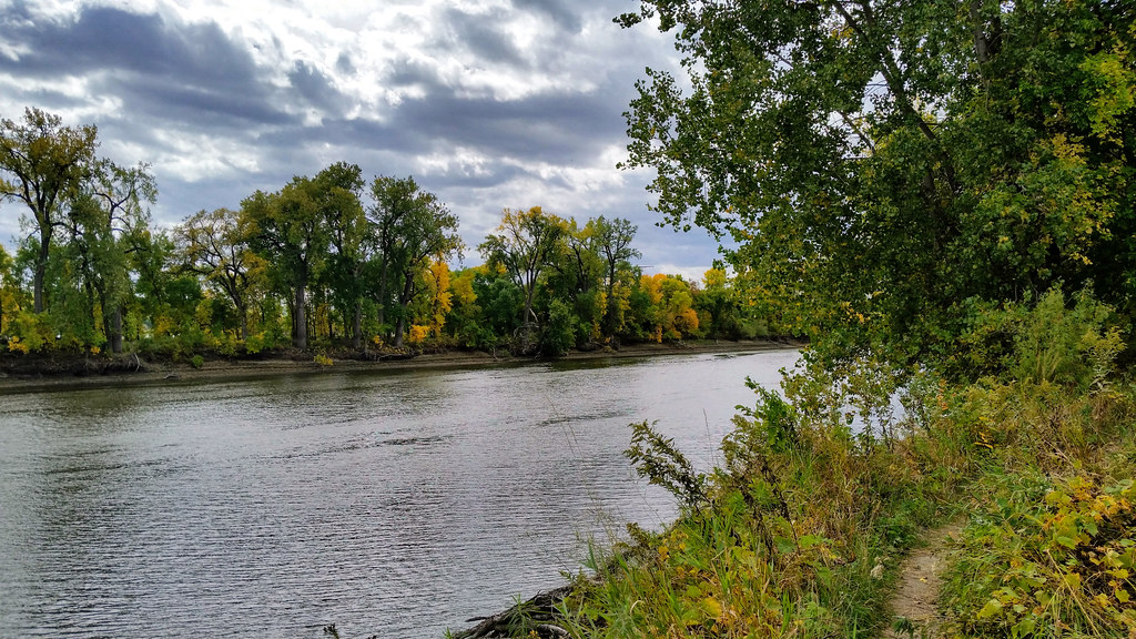 Photo: Joe Passe, CC BY-SA 2.0 (via Flickr)
Long Meadow Lake Trail
~30 min drive
Point-to-point trail to Long Meadow Lake through meadows and forest.
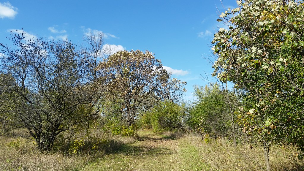 Photo: Joe Passe, CC BY-SA 2.0 (via Flickr)
Carver Rapids Trails
~3 min drive
2.64-mile out-and-back trail in Minnesota with 166 ft elevation gain.
 Photo: Joe Passe, CC BY-SA 2.0 (via Flickr)
Voyageur Trek
~37 min drive
Historic point-to-point trail following a voyageur water route through Minnesota.
 Photo: Wylbur, CC BY 2.0 (via Flickr)
Chaska Lake Trail
~5 min drive
1.78-mile out-and-back trail to Chaska Lake in Minnesota.
HIKE
Lone Lake Mountain Bike Trail
~24 min drive
Fun 3.97-mile out-and-back mountain bike trail near Lone Lake in Minnesota.
