Minnesota Valley State Recreation Area - Carver Rapids Hike-In Campsite
- Free
- fee
- Apr–Oct
- best months
- At 712 ft
- Minnesota Valley
Minnesota Valley State Recreation Area - Carver Rapids Hike-In Campsite is a campground in Minnesota at about 712 feet. It is managed by the state park agency.
 Minnesota Valley State Trail (Louisville Swamp Unit)HikingPhoto: Joe Passe, CC BY-SA 2.0 (via Flickr)0.5 mi
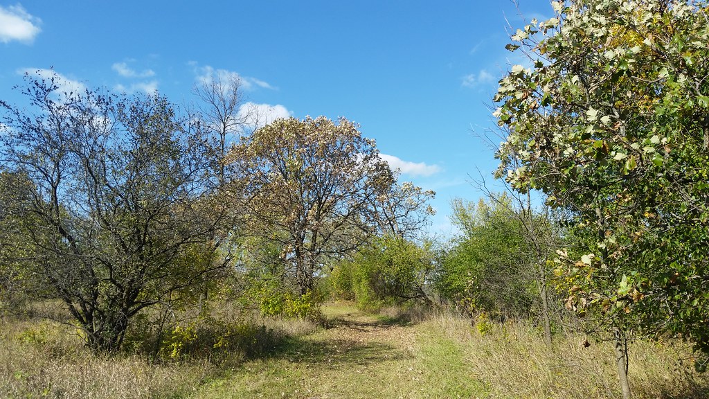 Carver Rapids TrailsHikingPhoto: Joe Passe, CC BY-SA 2.0 (via Flickr)0.6 mi
 Jab's Dike TrailHikingPhoto: Joe Passe, CC BY-SA 2.0 (via Flickr)0.8 mi
- Louisville Swamp Boulder (S/W Twin Cities Metro, near Shakopee)Rock climbing1 mi
- North Hunter Lot TrailHiking1.4 mi
 Mazomani TrailHikingPhoto: Joe Passe, CC BY-SA 2.0 (via Flickr)1.7 mi
- Bevens CreekCanoeing7.4 mi
- Sand CreekCanoeing7.6 mi
Source: Roamze catalog (indexable pages within 10 miles, PostGIS distance)
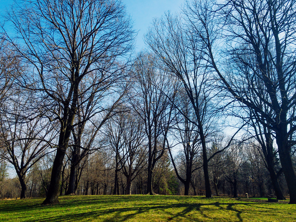 Baker Park Reserve CampgroundCamping · ~35 min drivePhoto: Tony Webster — CC BY 2.0 (via Flickr)
- Minneapolis Southwest KOA HolidayCamping · ~4 min drive
- Minnesota Valley State Park -QuarryCamping · ~11 min drive
- Minnesota Valley State Park -Horse CampCamping · ~12 min drive
- lake auburn campgroundCamping · ~18 min drive
- Cleary Lake Regional ParkCamping · ~20 min drive
- Big IslandCamping · ~25 min drive
- Baylor Park Group CampCamping · ~29 min drive
- Baylor Regional Park CampgroundCamping · ~29 min drive
- Shaver CampgroundCamping · ~30 min drive
Also worth it near here
Best time to visit Minnesota Valley State Recreation Area - Carver Rapids Hike-In Campsite
Best months: April–October. Best months have typical highs of 55–85 °F, lows of 30 °F or warmer (32 °F where the station doesn't record snow), at most one snowy day and no more than 12 wet days.
Jan
22° / 5°
5 wet
Feb
27° / 9°
4 wet
Mar
39° / 21°
6 wet
Apr
55° / 34°
8 wet
May
67° / 46°
10 wet
Jun
77° / 57°
10 wet
Jul
81° / 61°
10 wet
Aug
78° / 58°
9 wet
Sep
72° / 50°
8 wet
Oct
58° / 37°
7 wet
Nov
41° / 25°
5 wet
Dec
27° / 12°
5 wet
Typical high / low (°F) and days with rain or snow, 1991–2020. Measured at Jordan 1ssw, MN, 5.1 mi away at 900 ft. This station doesn't record snowfall. Source: NOAA NCEI U.S. Climate Normals 1991–2020.
Map and trail data © OpenStreetMap contributors
