Blue Lake Trail
 Photo: Joe Passe, CC BY-SA 2.0 (via Flickr)
- 3.6 mi
- round trip
- 321 ft
- climb
- 723 ft
- high point
- Out and back
- route
- Apr, Jul–Oct
- best months
Blue Lake Trail is an easy out-and-back hike of about 7 miles on the Minnesota Valley National Wildlife Refuge in Minnesota, managed by the U.S. Fish and Wildlife Service. The trail starts and ends at about 723 feet, with a high point of 723 feet and a low of 700 feet, so the climb is minimal, with only about 21 feet of elevation gain for the one-way trip. The most comfortable months for a visit are typically late spring and early fall. Typical averages from a nearby weather station show May highs around 70°F and September highs around 74°F, while July averages about 84°F and January highs sit near 24°F. The trail is close to several other routes. The Minnesota Valley State Trail (Wilke Unit) is about 0.3 miles away, and the Bloomington Ferry Trail is about 1.9 miles off. In winter, the Star Loop and Hill Trail cross-country ski routes are each about 3.3 miles away.
Best time to go · Apr, Jul–Oct
Best time to visit Blue Lake Trail
Best months: April and July–October. Best months have typical highs of 55–85 °F, lows of 30 °F or warmer (32 °F where the station doesn't record snow), at most one snowy day and no more than 12 wet days.
Jan
24° / 8°
6 wet
Feb
29° / 11°
6 wet
Mar
42° / 24°
8 wet
Apr
57° / 37°
11 wet
May
70° / 49°
13 wet
Jun
79° / 59°
13 wet
Jul
84° / 64°
10 wet
Aug
81° / 62°
10 wet
Sep
74° / 53°
10 wet
Oct
59° / 40°
9 wet
Nov
43° / 27°
7 wet
Dec
29° / 14°
6 wet
Typical high / low (°F) and days with rain or snow, 1991–2020. Measured at Mpls Flying Cloud Ap, MN, 3.3 mi away at 907 ft. This station doesn't record snowfall. Source: NOAA NCEI U.S. Climate Normals 1991–2020.
Keep exploring — more trails worth the drive
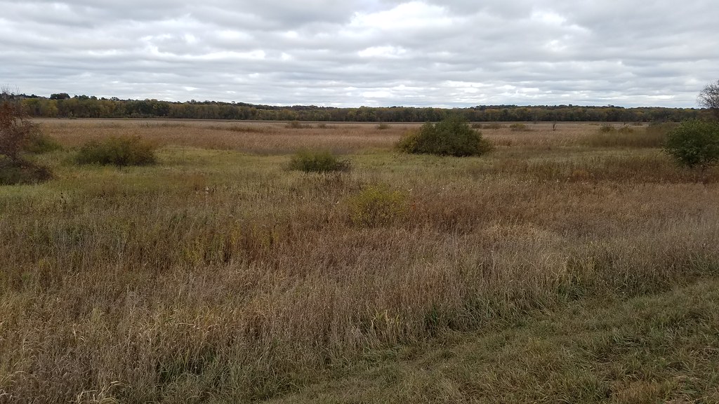 Photo: Joe Passe, CC BY-SA 2.0 (via Flickr)
Minnesota Valley State Trail (Wilke Unit)
Next door
1.90-mile out-and-back trail in Minnesota with 295 ft elevation gain.
 Photo: Joe Passe, CC BY-SA 2.0 (via Flickr)
River Bottoms Trail
~10 min drive
8.68-mile out-and-back hike in Minnesota with 983 ft gain.
 Photo: Joe Passe, CC BY-SA 2.0 (via Flickr)
Rice Lake Trail
~2 min drive
0.46-mile out-and-back hike to Rice Lake in Minnesota with 80 ft of elevation gain.
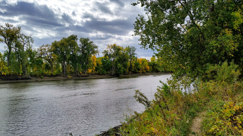 Photo: Joe Passe, CC BY-SA 2.0 (via Flickr)
Long Meadow Lake Trail
~14 min drive
Point-to-point trail to Long Meadow Lake through meadows and forest.
 Photo: Joe Passe, CC BY-SA 2.0 (via Flickr)
River's Edge Trail
~3 min drive
1.06-mile out-and-back trail in Minnesota with 130 ft elevation gain.
 Photo: Joe Passe, CC BY-SA 2.0 (via Flickr)
Mazomani Trail
~16 min drive
5.60-mile out-and-back trail in Minnesota with 429 ft elevation gain.
Photo: Joe Passe, CC BY-SA 2.0 (via Flickr)Bloomington Ferry Trail
~3 min drive
0.65-mile out-and-back trail in Minnesota with 135 ft elevation gain.
 Photo: Joe Passe, CC BY-SA 2.0 (via Flickr)
Minnesota Valley State Trail (Louisville Swamp Unit)
~19 min drive
5.65-mile out-and-back trail in Minnesota with 407 ft elevation gain.
 Photo: Joe Passe, CC BY-SA 2.0 (via Flickr)
Minnesota River Greenway Trail
~12 min drive
3.77-mile out-and-back trail in Minnesota with 383 ft gain.
 Photo: Joe Passe, CC BY-SA 2.0 (via Flickr)
Voyageur Trek
~22 min drive
Historic point-to-point trail following a voyageur water route through Minnesota.
