Carver Rapids Trails
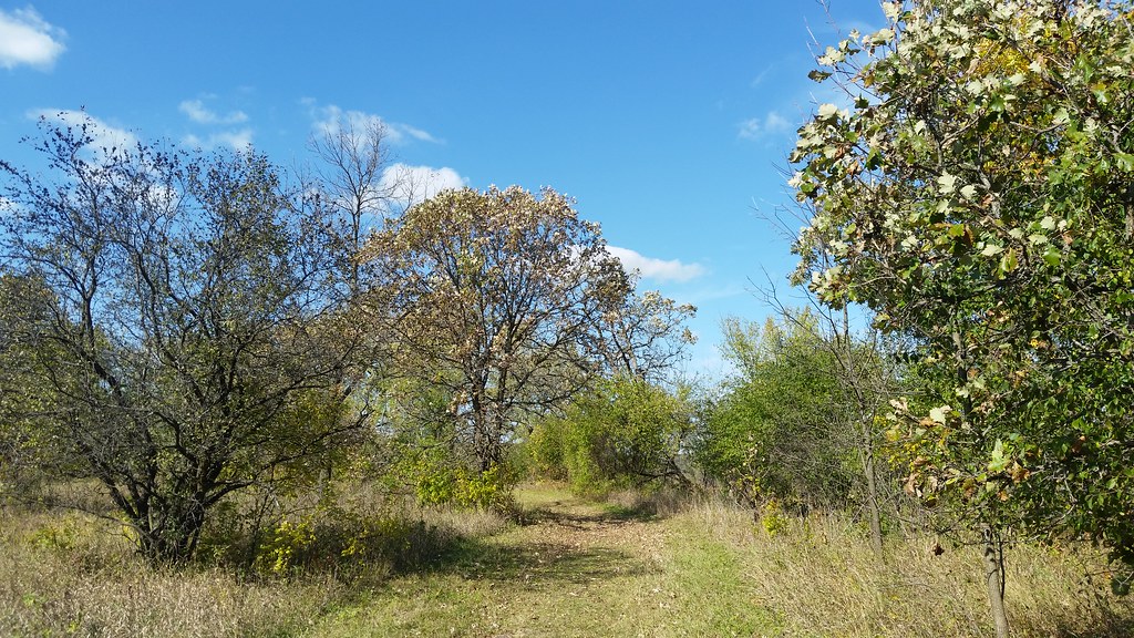 Photo: Joe Passe, CC BY-SA 2.0 (via Flickr)
- 2.6 mi
- round trip
- 217 ft
- climb
- 748 ft
- high point
- Out and back
- route
- Apr–Oct
- best months
Carver Rapids Trails is an easy out-and-back hike of about 5.3 miles on the Minnesota Valley National Wildlife Refuge in Minnesota, managed by the U.S. Fish and Wildlife Service. The route rises about 53 feet from a low point of 712 feet to a high of 748 feet, with the steepest stretch at about 0.16 miles in from the start. Summer is the most comfortable time to go. Typical averages from a nearby weather station show July highs around 81°F with lows near 61°F, while winter highs stay in the low 20s. Bikes are allowed on the trail. The closest neighbors are the Minnesota Valley State Trail (Louisville Swamp Unit) and the Louisville Swamp Boulder climbing area, both about half a mile away. Jab's Dike Trail is about 1.2 miles off, and Sand Creek, a canoeing spot, is about 7 miles away.
Best time to go · Apr–Oct
Best time to visit Carver Rapids Trails
Best months: April–October. Best months have typical highs of 55–85 °F, lows of 30 °F or warmer (32 °F where the station doesn't record snow), at most one snowy day and no more than 12 wet days.
Jan
22° / 5°
5 wet
Feb
27° / 9°
4 wet
Mar
39° / 21°
6 wet
Apr
55° / 34°
8 wet
May
67° / 46°
10 wet
Jun
77° / 57°
10 wet
Jul
81° / 61°
10 wet
Aug
78° / 58°
9 wet
Sep
72° / 50°
8 wet
Oct
58° / 37°
7 wet
Nov
41° / 25°
5 wet
Dec
27° / 12°
5 wet
Typical high / low (°F) and days with rain or snow, 1991–2020. Measured at Jordan 1ssw, MN, 4.8 mi away at 900 ft. This station doesn't record snowfall. Source: NOAA NCEI U.S. Climate Normals 1991–2020.
Keep exploring — more trails worth the drive
 Photo: Joe Passe, CC BY-SA 2.0 (via Flickr)
Minnesota Valley State Trail (Louisville Swamp Unit)
Next door
5.65-mile out-and-back trail in Minnesota with 407 ft elevation gain.
 Photo: Joe Passe, CC BY-SA 2.0 (via Flickr)
Middle Road Trail
Next door
1.44-mile out-and-back trail in Minnesota with 97 ft elevation gain.
 Photo: Joe Passe, CC BY-SA 2.0 (via Flickr)
Mazomani Trail
~3 min drive
5.60-mile out-and-back trail in Minnesota with 429 ft elevation gain.
 Photo: Joe Passe, CC BY-SA 2.0 (via Flickr)
Jab's Dike Trail
~2 min drive
0.51-mile out-and-back trail in Minnesota with 91 ft gain.
 Photo: Joe Passe, CC BY-SA 2.0 (via Flickr)
River Bottoms Trail
~28 min drive
8.68-mile out-and-back hike in Minnesota with 983 ft gain.
Photo: Joe Passe, CC BY-SA 2.0 (via Flickr)State Access Trail
~3 min drive
1.19-mile out-and-back trail in Minnesota with 161 ft elevation gain.
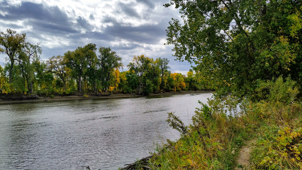 Photo: Joe Passe, CC BY-SA 2.0 (via Flickr)
Long Meadow Lake Trail
~32 min drive
Point-to-point trail to Long Meadow Lake through meadows and forest.
 Photo: Wylbur, CC BY 2.0 (via Flickr)
Chaska Lake Trail
~7 min drive
1.78-mile out-and-back trail to Chaska Lake in Minnesota.
 Photo: Joe Passe, CC BY-SA 2.0 (via Flickr)
Voyageur Trek
~39 min drive
Historic point-to-point trail following a voyageur water route through Minnesota.
 Photo: Joe Passe, CC BY-SA 2.0 (via Flickr)
Blue Lake Trail
~18 min drive
3.61-mile out-and-back trail in Minnesota with 300 ft elevation gain.
