Tully Mountain
- 2,080 ft
- summit
- 1
- way up
Is Tully Mountain open right now?
Closure in the area
There's a closure order in Appalachian National Scenic Trail. It doesn't name Tully Mountain, so check the source for the area it covers.
List of trail closures post-Hurricane Helene
Park closure covering Appalachian National Scenic Trail · NPS · Appalachian National Scenic Trail
Black Bears Frequenting the McAfee Knob Area in Virginia
Park alert covering Appalachian National Scenic Trail · NPS · Appalachian National Scenic Trail
As of · Source: NPS · Appalachian National Scenic Trail. Agencies don't list every closure — check before you go.
Tully Mountain is a summit in western Massachusetts, set within the Appalachian National Scenic Trail lands about 5 miles from Pittsfield. Summer and early fall are the most comfortable times to go. Typical averages from the Pittsfield airport weather station, about 7 miles away, show July highs near 79°F and September highs near 70°F with lows around 49°F, though the summit sits well above that station and usually runs cooler. The Appalachian Trail passes less than a mile away, and the East Branch Housatonic River offers paddling about 1.5 miles off. Old Mill Trail is roughly 2 miles away, and Pontoosuc Lake, about 6 miles away, has fishing from a boat launch.
Conditions and forecast
Daily highs and lows, wind and the chance of precipitation at the summit and route start for the next 7 days, from the Open-Meteo model.
- Summit elevation
- 2,080 ft
Elevation from USGS 3D Elevation Program terrain data (about 10 m resolution).
Map © Mapbox © OpenStreetMap contributors Questions about Tully Mountain
How tall is Tully Mountain?
2,080 ft (634 m).
How many routes go to the summit of Tully Mountain?
One: Appalachian Trail.
- Warner Hill2,053 ft · Massachusetts1 route1.7 mi away
- Osceda Mountain1,807 ft · Massachusetts1 route6.6 mi away
- Mahanna Cobble1,888 ft · Massachusetts1 route6.9 mi away
- Bald Top2,049 ft · Massachusetts1 route7.1 mi away
- Yokun Seat2,113 ft · Massachusetts1 route8.0 mi away
- Lenox Mountain2,124 ft · Massachusetts1 route8.3 mi away
- Appalachian TrailHiking0.9 mi
 East Branch Housatonic RiverCanoeingPhoto: John Phelan, CC BY 3.0 (via Wikimedia Commons)1.5 mi
- Old Mill TrailHiking2 mi
- Green TrailHiking3 mi
- Red TrailHiking3.2 mi
- Wahconah Falls BrookCanoeing3.5 mi
- Pontoosuc LakeLake fishing5.9 mi
- Onota LakeLake fishing6.5 mi
Source: Roamze catalog (indexable pages within 10 miles, PostGIS distance)
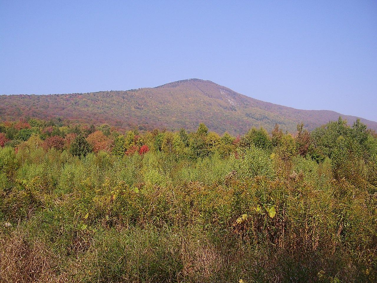 Mount GreylockSummit · ~23 min drivePhoto: Jstergis, CC BY 3.0 (via Wikimedia Commons)
 Monument MountainSummit · ~27 min drivePhoto: Tom Walsh, CC BY-SA 3.0 (via Wikimedia Commons)
 Dry HillSummit · ~36 min drivePhoto: John Phelan, CC BY-SA 3.0 (via Wikimedia Commons)
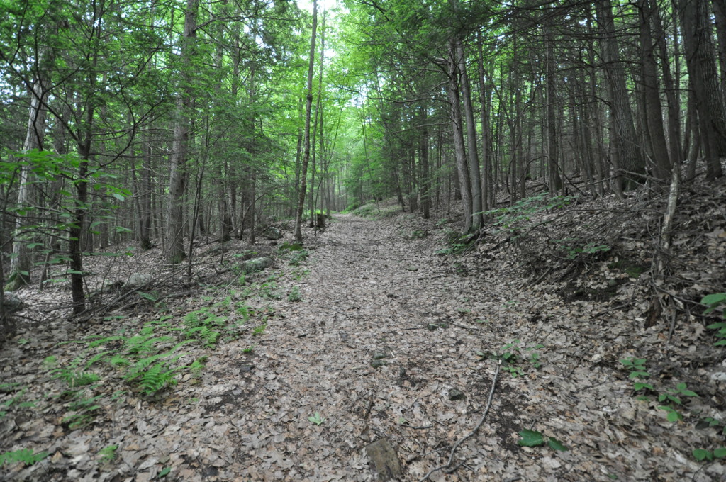 Petticoat HillSummit · ~37 min drivePhoto: User:Magicpiano, CC BY-SA 4.0 (via Wikimedia Commons)
 Stone MountainSummit · ~45 min drivePhoto: KyleAndMelissa22, Public domain (via Wikimedia Commons)
 Mount EverettSummit · ~47 min drivePhoto: Telekineticturtle, CC BY-SA 3.0 (via Wikimedia Commons)
 Mount RaceSummit · ~49 min drivePhoto: Downward Dingo, CC BY-SA 4.0 (via Wikimedia Commons)
- Day MountainSummit · ~3 min drive
- Warner HillSummit · ~3 min drive
- Osceda MountainSummit · ~11 min drive
Best time to visit Tully Mountain
No month here meets our mild-weather rule. Best months have typical highs of 55–85 °F, lows of 30 °F or warmer (32 °F where the station doesn't record snow), at most one snowy day and no more than 12 wet days.
Jan
30° / 14°
12 wet
Feb
33° / 15°
11 wet
Mar
42° / 23°
13 wet
Apr
55° / 34°
13 wet
May
67° / 44°
14 wet
Jun
75° / 53°
15 wet
Jul
79° / 58°
15 wet
Aug
78° / 56°
15 wet
Sep
70° / 49°
13 wet
Oct
58° / 39°
13 wet
Nov
47° / 29°
13 wet
Dec
35° / 21°
13 wet
Typical high / low (°F) and days with rain or snow, 1991–2020. Measured at Pittsfield Muni Ap, MA, 6.6 mi away at 1,194 ft. The station sits about 900 ft lower than this place, so expect it a little cooler here. This station doesn't record snowfall. Source: NOAA NCEI U.S. Climate Normals 1991–2020.
