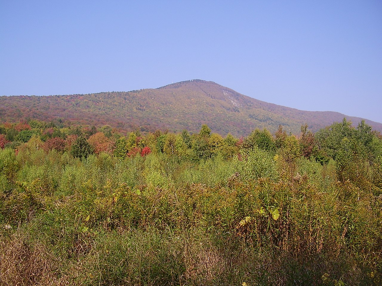
Mount Greylock
About
Mount Greylock is a summit in Massachusetts on the Appalachian National Scenic Trail, about 2.5 miles from the town of Adams. It sits within the corridor of the long-distance footpath, so the summit can be reached by hikers following the Appalachian Trail as well as by the local trails that branch off nearby. Several of those routes start close to the top. The Overlook Trail lies about 0.1 mile away, the Bellows Pipe Trail about 0.6 mile, and the Gould Trail about 0.8 mile, giving hikers a choice of ways to build a trip around the peak. For time on the water, the Hoosic River offers canoeing roughly 4 miles from the summit.
Summit Facts
Summit elevation
3,492 ft
Elevation from USGS 3D Elevation Program terrain data (about 10 m resolution).
Location
Mount Greylock
Massachusetts
Name and location: U.S. Geological Survey, Geographic Names Information System (GNIS). Elevation: USGS 3D Elevation Program. View the GNIS record.
Facts about this place
Where it is
- Appalachian National Scenic Trail · National Park Service
- Nearest town
- Adams, Massachusetts · 2.5 mi
Source: NPS Land Resources boundaries; USGS GNIS populated places
Conditions
Active alerts for Appalachian National Scenic Trail as of Oct 9, 2026:
Black Bears Frequenting the McAfee Knob Area in Virginia
Caution · posted Aug 24, 2026
List of trail closures post-Hurricane Helene
Park Closure · posted Aug 24, 2026
Source: NPS Alerts API
Nearby
- Overlook TrailHiking0.1 mi
- Bellows Pipe TrailHiking0.6 mi
- Gould TrailHiking0.8 mi
- March Cataract TrailHiking1.1 mi
- Hoosic RiverCanoeing4.2 mi
- Clark CragRock climbing5.2 mi
- Cheshire ReservoirLake fishing7.3 mi
- Old Seth Warner Shelter SiteCamping9.4 mi
Source: Roamze catalog (indexable pages within 10 miles, PostGIS distance)
