Green Trail
- 1.4 mi
- loop
- 185 ft
- climb
- 1,249 ft
- high point
- Loop
- route
Green Trail is an easy hike in Massachusetts, about a mile from the community of The Boulders. The route is short, at roughly 1.4 miles, and the climb is gentle, with a total gain of 185 feet from a starting elevation of about 1,171 feet to a high point near 1,249 feet. The steepest stretch comes around the 1-mile mark, where the grade reaches about 6 percent. Summer and early fall are the mildest times to go. Typical averages from a nearby weather station in Pittsfield show July highs around 79°F and September highs near 70°F. Winters are cold, with January highs around 30°F. The hike takes about half an hour. The Appalachian Trail passes within a third of a mile, and the Red Trail is about half a mile away. For time on the water, Wahconah Falls Brook is roughly 2.7 miles off, and Pontoosuc Lake is about 3.4 miles away.
- Appalachian TrailHiking0.3 mi
- Red TrailHiking0.5 mi
- Old Mill TrailHiking2.6 mi
- Wahconah Falls BrookCanoeing2.7 mi
- Pontoosuc LakeLake fishing3.4 mi
 East Branch Housatonic RiverCanoeingPhoto: John Phelan, CC BY 3.0 (via Wikimedia Commons)3.5 mi
- Cheshire ReservoirLake fishing3.6 mi
- Bradley Farm TrailHiking5.9 mi
Source: Roamze catalog (indexable pages within 10 miles, PostGIS distance)
 Parker brook trailHiking · ~11 min drivePhoto: Flipfox22, CC BY-SA 3.0 (via Wikimedia Commons)
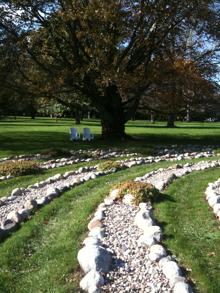 October Mountain Loop TrailHiking · ~14 min drivePhoto: Nabeel H, CC BY-SA 2.0 (via Flickr)
- Pine Mountain TrailHiking · ~13 min drivePhoto: Flipfox22, CC BY-SA 3.0 (via Wikimedia Commons)
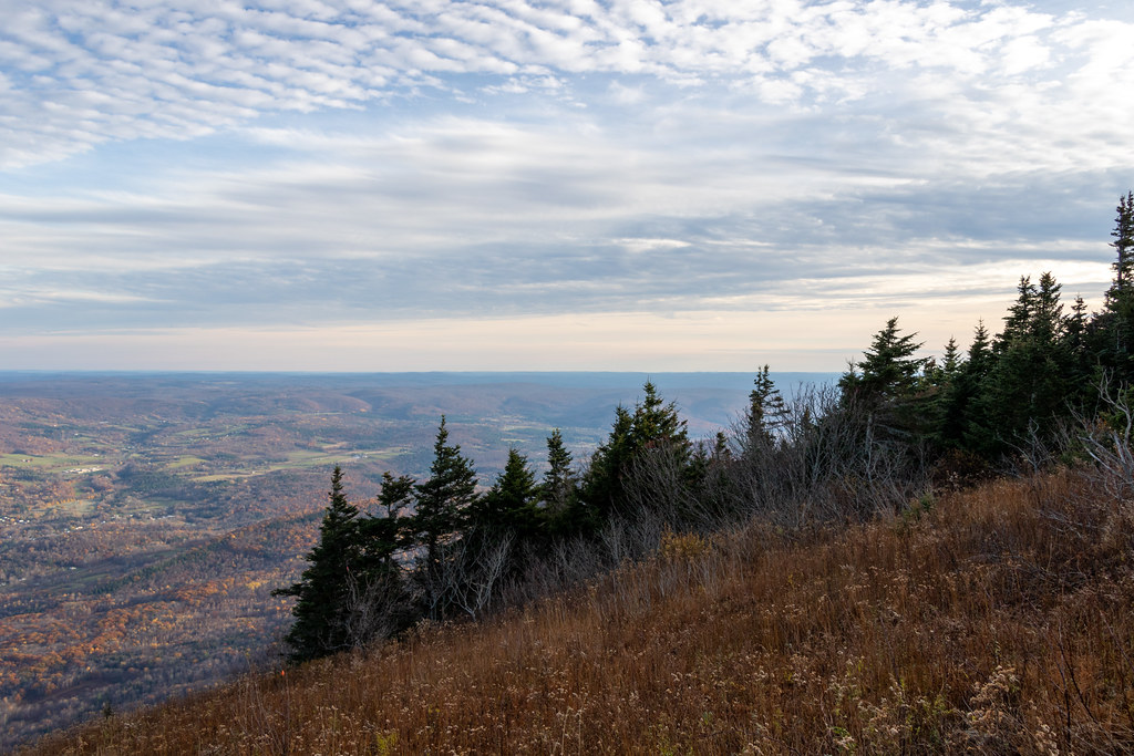 Gould TrailHiking · ~17 min drivePhoto: Ktr101, CC BY-SA 2.0 (via Flickr)
- Brickhouse Mountain TrailHiking · ~13 min drivePhoto: Flipfox22, CC BY-SA 3.0 (via Wikimedia Commons)
- Appalachian TrailHiking · Next door
 Rounds Rock - Jones Nose LoopHiking · ~13 min drivePhoto: andyarthur, CC BY 2.0 (via Flickr)
- Appalachian TrailHiking · ~4 min drive
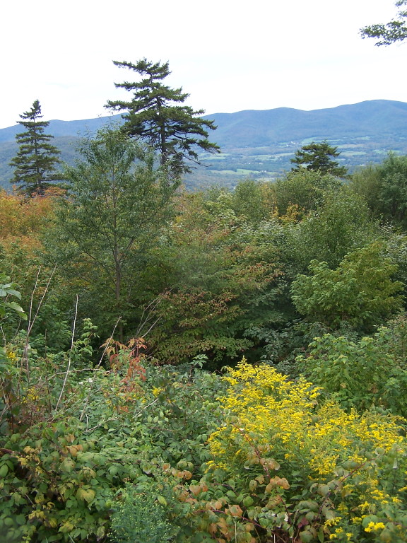 Jones Nose to SummitHiking · ~16 min drivePhoto: andyarthur, CC BY 2.0 (via Flickr)
- Bradley Farm TrailHiking · ~10 min drive
Best time to visit Green Trail
No month here meets our mild-weather rule. Best months have typical highs of 55–85 °F, lows of 30 °F or warmer (32 °F where the station doesn't record snow), at most one snowy day and no more than 12 wet days.
Jan
30° / 14°
12 wet
Feb
33° / 15°
11 wet
Mar
42° / 23°
13 wet
Apr
55° / 34°
13 wet
May
67° / 44°
14 wet
Jun
75° / 53°
15 wet
Jul
79° / 58°
15 wet
Aug
78° / 56°
15 wet
Sep
70° / 49°
13 wet
Oct
58° / 39°
13 wet
Nov
47° / 29°
13 wet
Dec
35° / 21°
13 wet
Typical high / low (°F) and days with rain or snow, 1991–2020. Measured at Pittsfield Muni Ap, MA, 6.6 mi away at 1,194 ft. This station doesn't record snowfall. Source: NOAA NCEI U.S. Climate Normals 1991–2020.
Map and trail data © OpenStreetMap contributors
