Day Mountain
- 1,797 ft
- summit
Is Day Mountain open right now?
Closure in the area
There's a closure order in Appalachian National Scenic Trail. It doesn't name Day Mountain, so check the source for the area it covers.
List of trail closures post-Hurricane Helene
Park closure covering Appalachian National Scenic Trail · NPS · Appalachian National Scenic Trail
Black Bears Frequenting the McAfee Knob Area in Virginia
Park alert covering Appalachian National Scenic Trail · NPS · Appalachian National Scenic Trail
As of · Source: NPS · Appalachian National Scenic Trail. Agencies don't list every closure — check before you go.
Day Mountain is a summit of 1,797 feet in western Massachusetts, about 5 miles from Pittsfield. It sits within the Appalachian National Scenic Trail corridor, which makes it a natural anchor for a day on the trail or a longer outing in the surrounding area. Summer is the most comfortable time to visit. Typical averages from a nearby weather station in Pittsfield show July highs around 79°F with lows near 58°F, and the summit sits higher than that station, so temperatures on top run a little cooler. The Appalachian Trail passes within about half a mile, and the Old Mill Trail and Green Trail are both within 2 miles. Paddlers can head to the East Branch Housatonic River, about 2 miles away.
Conditions and forecast
Daily highs and lows, wind and the chance of precipitation at the summit for the next 7 days, from the Open-Meteo model.
- Summit elevation
- 1,797 ft
Elevation from USGS 3D Elevation Program terrain data (about 10 m resolution).
We don't know of a mapped trail or route to the summit of Day Mountain. Plan the approach with local maps, a guidebook or a local guide, and check conditions before you go.
Questions about Day Mountain
How tall is Day Mountain?
1,797 ft (548 m).
Is there a trail to the top of Day Mountain?
We don't know of a mapped trail or route to the summit. Plan the approach with local maps, a guidebook or a local guide.
- Tully Mountain2,080 ft · Massachusetts1 route1.5 mi away
- Warner Hill2,053 ft · Massachusetts1 route3.1 mi away
- Osceda Mountain1,807 ft · Massachusetts1 route7.2 mi away
- Mahanna Cobble1,888 ft · Massachusetts1 route7.5 mi away
- Honwee Mountain2,306 ft · Massachusetts1 route8.1 mi away
- Pine Mountain2,209 ft · Massachusetts1 route8.5 mi away
- Appalachian TrailHiking0.6 mi
- Old Mill TrailHiking1.1 mi
- Green TrailHiking1.7 mi
 East Branch Housatonic RiverCanoeingPhoto: John Phelan, CC BY 3.0 (via Wikimedia Commons)1.8 mi
- Red TrailHiking2.1 mi
- Wahconah Falls BrookCanoeing2.2 mi
- Pontoosuc LakeLake fishing5 mi
- Cheshire ReservoirLake fishing5.1 mi
Source: Roamze catalog (indexable pages within 10 miles, PostGIS distance)
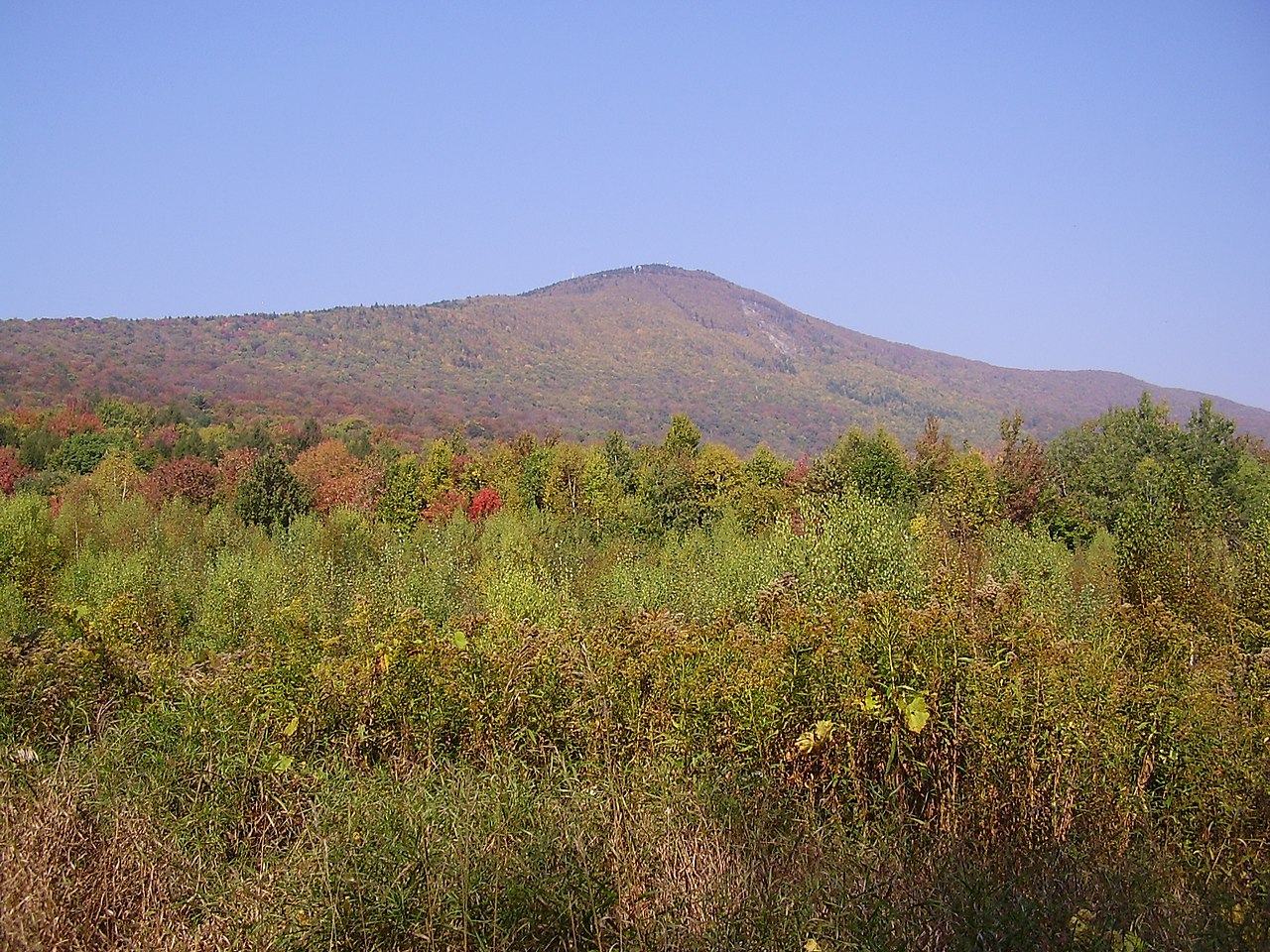 Mount GreylockSummit · ~21 min drivePhoto: Jstergis, CC BY 3.0 (via Wikimedia Commons)
 Monument MountainSummit · ~29 min drivePhoto: Tom Walsh, CC BY-SA 3.0 (via Wikimedia Commons)
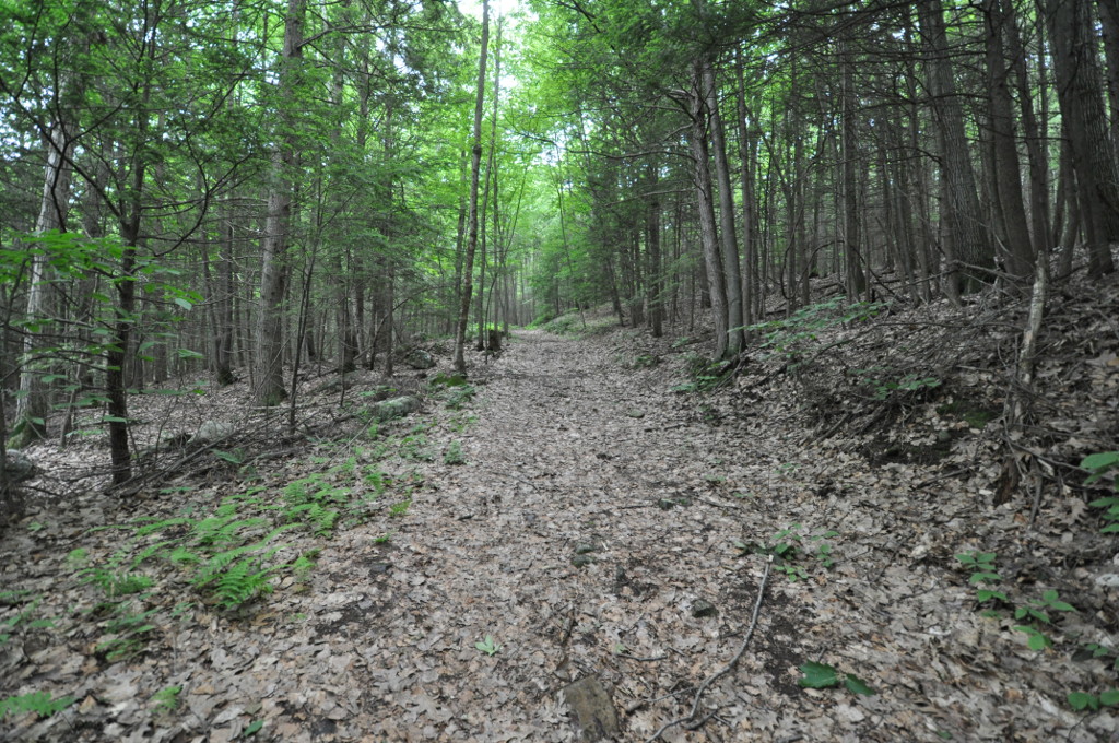 Petticoat HillSummit · ~38 min drivePhoto: User:Magicpiano, CC BY-SA 4.0 (via Wikimedia Commons)
 Dry HillSummit · ~38 min drivePhoto: John Phelan, CC BY-SA 3.0 (via Wikimedia Commons)
 Stone MountainSummit · ~43 min drivePhoto: KyleAndMelissa22, Public domain (via Wikimedia Commons)
 Mount EverettSummit · ~49 min drivePhoto: Telekineticturtle, CC BY-SA 3.0 (via Wikimedia Commons)
- Tully MountainSummit · ~3 min drive
- Warner HillSummit · ~5 min drive
- Osceda MountainSummit · ~12 min drive
- Mahanna CobbleSummit · ~13 min drive
Best time to visit Day Mountain
No month here meets our mild-weather rule. Best months have typical highs of 55–85 °F, lows of 30 °F or warmer (32 °F where the station doesn't record snow), at most one snowy day and no more than 12 wet days.
Jan
30° / 14°
12 wet
Feb
33° / 15°
11 wet
Mar
42° / 23°
13 wet
Apr
55° / 34°
13 wet
May
67° / 44°
14 wet
Jun
75° / 53°
15 wet
Jul
79° / 58°
15 wet
Aug
78° / 56°
15 wet
Sep
70° / 49°
13 wet
Oct
58° / 39°
13 wet
Nov
47° / 29°
13 wet
Dec
35° / 21°
13 wet
Typical high / low (°F) and days with rain or snow, 1991–2020. Measured at Pittsfield Muni Ap, MA, 7 mi away at 1,194 ft. The station sits about 600 ft lower than this place, so expect it a little cooler here. This station doesn't record snowfall. Source: NOAA NCEI U.S. Climate Normals 1991–2020.
