Mount Race
 Photo: Downward Dingo, CC BY-SA 4.0 (via Wikimedia Commons)
- 2,367 ft
- summit
- Jul–Oct
- best months
Is Mount Race open right now?
Closure in the area
There's a closure order in Appalachian National Scenic Trail. It doesn't name Mount Race, so check the source for the area it covers.
List of trail closures post-Hurricane Helene
Park closure covering Appalachian National Scenic Trail · NPS · Appalachian National Scenic Trail
Black Bears Frequenting the McAfee Knob Area in Virginia
Park alert covering Appalachian National Scenic Trail · NPS · Appalachian National Scenic Trail
As of · Source: NPS · Appalachian National Scenic Trail. Agencies don't list every closure — check before you go.
Mount Race is a summit of 2,367 feet in western Massachusetts, within the Appalachian National Scenic Trail corridor. The nearest town is Copake Falls, New York, about 5 miles away. Summer and early fall are the most comfortable times to go. Typical averages from a nearby weather station show July highs around 78°F and September highs near 69°F, and the summit sits higher than that station, so expect cooler temperatures up top. Race Brook Trail starts less than a mile away, and the Appalachian Trail and Charcoal Pit Trail are both about 2 miles off. Sage's Ravine campground is also about 2 miles away.
Conditions and forecast
Daily highs and lows, wind and the chance of precipitation at the summit for the next 7 days, from the Open-Meteo model.
- Summit elevation
- 2,367 ft
Elevation from USGS 3D Elevation Program terrain data (about 10 m resolution).
We don't know of a mapped trail or route to the summit of Mount Race. Plan the approach with local maps, a guidebook or a local guide, and check conditions before you go.
Questions about Mount Race
How tall is Mount Race?
2,367 ft (721 m).
Is there a trail to the top of Mount Race?
We don't know of a mapped trail or route to the summit. Plan the approach with local maps, a guidebook or a local guide.
- Round Mountain2,291 ft · Connecticut1 route3.2 mi away
 Mount Frissell2,451 ft · Massachusetts1 route3.4 mi awayPhoto: Zeete, CC BY-SA 4.0 (via Wikimedia Commons)
 Alander Mountain2,244 ft · Massachusetts2 routes3.7 mi awayPhoto: Zeete, CC BY-SA 4.0 (via Wikimedia Commons)
- Bash Bish Mountain1,901 ft · Massachusetts1 route3.8 mi away
- Brace Mountain2,315 ft · New York1 route4.1 mi away
- Sunset Rock1,789 ft · New York1 route4.8 mi away
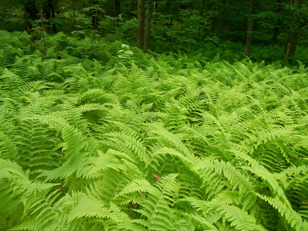 Race Brook TrailHikingPhoto: John Hayes (gravelboy), CC BY 2.0 (via Flickr)0.8 mi
- Charcoal Pit TrailHiking2.1 mi
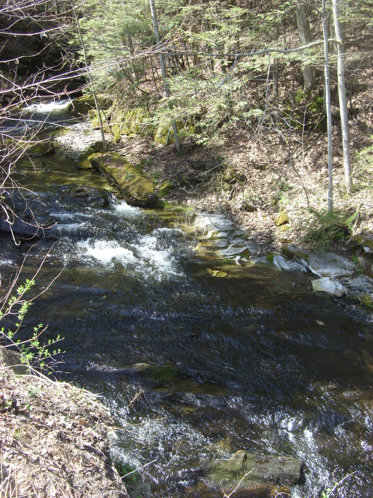 Appalachian TrailHikingPhoto: Dougtone, CC BY-SA 2.0 (via Flickr)2.1 mi
- Ashley Hill TrailHiking2.2 mi
- Sage's RavineCamping2.2 mi
- Housatonic RiverRiver fishing4.5 mi
- Showcase BoulderRock climbing8.9 mi
- Waterfall Basin BouldersRock climbing8.9 mi
Source: Roamze catalog (indexable pages within 10 miles, PostGIS distance)
 Mount EverettSummit · ~2 min drivePhoto: Telekineticturtle, CC BY-SA 3.0 (via Wikimedia Commons)
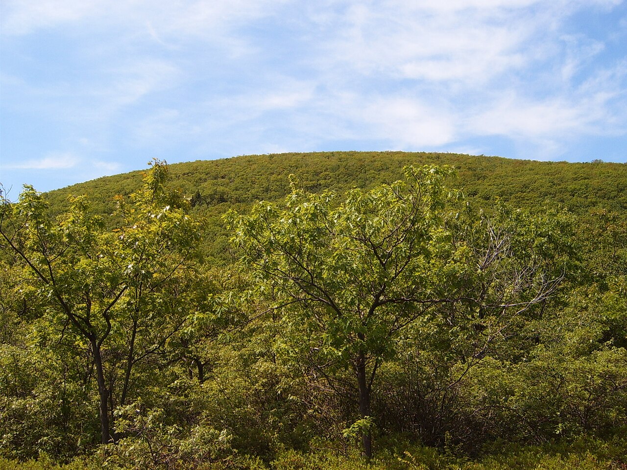 Bear MountainSummit · ~5 min drivePhoto: Heatkernel at English Wikipedia, Public domain (via Wikimedia Commons)
- Mount FrissellSummit · ~6 min drivePhoto: Zeete, CC BY-SA 4.0 (via Wikimedia Commons)
- Alander MountainSummit · ~6 min drivePhoto: Zeete, CC BY-SA 4.0 (via Wikimedia Commons)
 Dry HillSummit · ~19 min drivePhoto: John Phelan, CC BY-SA 3.0 (via Wikimedia Commons)
 Haystack MountainSummit · ~22 min drivePhoto: Morrowlong, CC BY-SA 4.0 (via Wikimedia Commons)
 Monument MountainSummit · ~22 min drivePhoto: Tom Walsh, CC BY-SA 3.0 (via Wikimedia Commons)
- Round MountainSummit · ~6 min drive
- Bash Bish MountainSummit · ~7 min drive
- Brace MountainSummit · ~7 min drive
Best time to visit Mount Race
Best months: July–October. Best months have typical highs of 55–85 °F, lows of 30 °F or warmer (32 °F where the station doesn't record snow), at most one snowy day and no more than 12 wet days.
Jan
30° / 14°
13 wet · 9 snow
Feb
32° / 15°
12 wet · 8 snow
Mar
40° / 23°
13 wet · 7 snow
Apr
54° / 34°
13 wet · 2 snow
May
65° / 45°
14 wet
Jun
73° / 55°
13 wet
Jul
78° / 59°
12 wet
Aug
76° / 58°
11 wet
Sep
69° / 51°
11 wet
Oct
57° / 40°
12 wet
Nov
45° / 30°
12 wet · 3 snow
Dec
35° / 21°
14 wet · 7 snow
Typical high / low (°F) and days with rain or snow, 1991–2020. Measured at Norfolk 2 Sw, CT, 13.2 mi away at 1,340 ft. The station sits about 1,000 ft lower than this place, so expect it a little cooler here. Source: NOAA NCEI U.S. Climate Normals 1991–2020.

