Vermont Line Trail
 Photo: }{enry, CC BY 2.0 (via Flickr)
- 0.5 mi
- round trip
- 154 ft
- climb
- 1,354 ft
- high point
- Out and back
- route
- Apr–Oct
- best months
The Vermont Line Trail is a short, easy hike in Clarksburg State Park in western Massachusetts, managed by State Park and Recreation. The route is about a mile long, with a total climb of about 150 feet, and it makes a quick out-and-back from the low point at 1,235 feet to the high point at 1,354 feet. The steepest stretch comes early, around 0.3 miles in, with a grade of about 10 percent. Summer is the most comfortable time to go. Typical averages from a nearby weather station in Pownal, Vermont, run to highs around 81°F in July and 72°F in September, while winter highs stay near freezing. The Pond Loop Trail is just 0.3 miles away. Across the state line in Vermont, the North Branch Hoosic River offers canoeing about 2.6 miles off, and the Mahican-Mohawk Trail (M-M) is about 2.9 miles away. For an overnight stay, the Old Seth Warner Shelter Site is about 3.5 miles away.
- Pond Loop TrailHikingPhoto: }{enry, CC BY 2.0 (via Flickr)0.3 mi
- North Branch Hoosic RiverCanoeing2.6 mi
- Mahican-Mohawk Trail (M-M)Hiking2.9 mi
- WILEY MOUNTAINHiking3.3 mi
- Old Seth Warner Shelter SiteCamping3.5 mi
- Seth Warner ShelterCamping4.5 mi
- Monroe State ForestRock climbing5 mi
- Clark CragRock climbing7.2 mi
Source: Roamze catalog (indexable pages within 10 miles, PostGIS distance)
- Pond Loop TrailHiking · Next doorPhoto: }{enry, CC BY 2.0 (via Flickr)
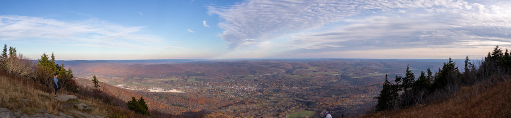 Bellows Pipe TrailHiking · ~13 min drivePhoto: Ktr101, CC BY-SA 2.0 (via Flickr)
- Appalachian Trail/long TrailHiking · ~6 min drive
- Broad BrookHiking · ~8 min drive
- Shoreline TrailHiking · Next doorPhoto: }{enry, CC BY 2.0 (via Flickr)
 Legal Trail 7Hiking · ~14 min drivePhoto: Dougtone, CC BY-SA 2.0 (via Wikimedia Commons)
 Thoreau’s FootstepsHiking · ~11 min drivePhoto: KimonBerlin, CC BY-SA 2.0 (via Flickr)
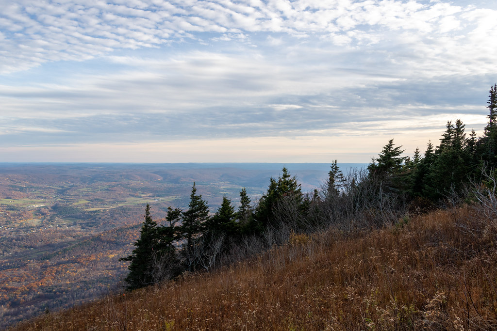 Gould TrailHiking · ~15 min drivePhoto: Ktr101, CC BY-SA 2.0 (via Flickr)
- Wilbur’s Clearing to SummitHiking · ~11 min drivePhoto: KimonBerlin, CC BY-SA 2.0 (via Flickr)
- AgawonHiking · ~8 min drive
Best time to visit Vermont Line Trail
Best months: April–October. Best months have typical highs of 55–85 °F, lows of 30 °F or warmer (32 °F where the station doesn't record snow), at most one snowy day and no more than 12 wet days.
Jan
31° / 12°
Feb
33° / 13°
Mar
42° / 22°
Apr
56° / 33°
May
68° / 43°
Jun
75° / 52°
Jul
81° / 57°
Aug
78° / 55°
Sep
72° / 49°
Oct
59° / 39°
Nov
47° / 29°
Dec
36° / 20°
Typical high / low (°F) and days with rain or snow, 1991–2020. Measured at Pownal 1 Ne, VT, 7.9 mi away at 1,110 ft. This station doesn't record snowfall. Source: NOAA NCEI U.S. Climate Normals 1991–2020.
Map and trail data © OpenStreetMap contributors
