Agawon
- 1.4 mi
- round trip
- 1,221 ft
- climb
- 1,929 ft
- high point
- Out and back
- route
- Apr–Oct
- best months
Is Agawon open right now?
Closure in the area
There's a closure order in Green Mountain and Finger Lakes National Forests. It doesn't name Agawon, so check the source for the area it covers (3 listed).
Klondike Fire Incident Report
Agency closure covering Green Mountain and Finger Lakes National Forests · USFS · Green Mountain and Finger Lakes National Forests
Heavily damaged or closed trails
Agency closure covering Green Mountain and Finger Lakes National Forests · USFS · Green Mountain and Finger Lakes National Forests
Glastenbury fire tower is closed to public use
Agency closure covering Green Mountain and Finger Lakes National Forests · USFS · Green Mountain and Finger Lakes National Forests
Moosalamoo Campground Water System
Agency alert covering Green Mountain and Finger Lakes National Forests · USFS · Green Mountain and Finger Lakes National Forests
As of · Source: USFS · Green Mountain and Finger Lakes National Forests. Agencies don't list every closure — check before you go.
Agawon is a 1.44-mile out-and-back hike on singletrack in Vermont's Manchester Ranger District, part of the Green Mountain and Finger Lakes National Forests. The Forest Service manages the land, and the trail is rated easy. It connects to the Broad Brook Trail and The Dome Trail, making it a good fit for a longer day of exploring the surrounding network. The route starts at about 1,894 feet and climbs to roughly 1,929 feet, with a total gain of about 1,221 feet for the round trip. The steepest stretch comes early, around 0.31 miles in, with a grade of about 33 percent. Bikes are allowed. Summer is the most comfortable time to go. Typical averages from a nearby weather station in Pownal run to highs around 81°F in July, and the station sits well below the trail, so temperatures on the route run cooler. The East Dome Trail is about half a mile away, and Broad Brook and the Dome 2/3 Summit Trail are each about 0.9 miles off. For an overnight stay, the Old Seth Warner Shelter Site is about 2.2 miles away.
Best time to go · Apr–Oct
Best time to visit Agawon
Best months: April–October. Best months have typical highs of 55–85 °F, lows of 30 °F or warmer (32 °F where the station doesn't record snow), at most one snowy day and no more than 12 wet days.
Jan
31° / 12°
Feb
33° / 13°
Mar
42° / 22°
Apr
56° / 33°
May
68° / 43°
Jun
75° / 52°
Jul
81° / 57°
Aug
78° / 55°
Sep
72° / 49°
Oct
59° / 39°
Nov
47° / 29°
Dec
36° / 20°
Typical high / low (°F) and days with rain or snow, 1991–2020. Measured at Pownal 1 Ne, VT, 3.2 mi away at 1,110 ft. The station sits about 800 ft lower than this place, so expect it a little cooler here. This station doesn't record snowfall. Source: NOAA NCEI U.S. Climate Normals 1991–2020.
Keep exploring — more trails worth the drive
 Photo: JFGryphon, Public Domain Dedication (CC0) (via Flickr)
Hoosic River Trail
~6 min drive
2.76-mile out-and-back hike along the Hoosic River in Massachusetts with 900 ft gain.
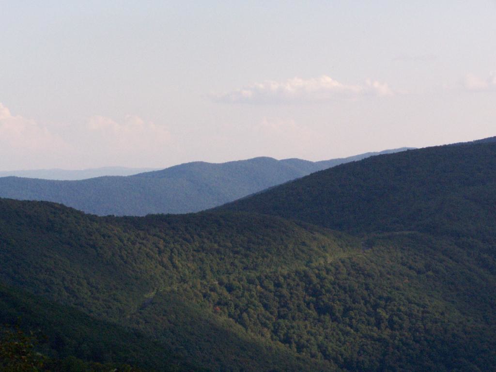 Photo: andyarthur, CC BY 2.0 (via Flickr)
Birch Brook Trail
~9 min drive
2.84-mile out-and-back trail in New York with 1,225 ft of elevation gain
HIKE
Broad Brook
~2 min drive
A 6.45-mile out-and-back trail in Vermont that connects to the Agawan Trail system, perfect for hikers looking to explore the region's backcountry.
HIKE
Appalachian Trail/long Trail
~5 min drive
29.09-mile point-to-point hike on the Appalachian Trail/Long Trail in Vermont with 6,939 ft elevation gain.
 Photo: }{enry, CC BY 2.0 (via Flickr)
Vermont Line Trail
~8 min drive
0.96-mile out-and-back trail in Massachusetts with 154 ft elevation gain.
 Photo: Magicpiano, CC BY-SA 4.0 (via Wikimedia Commons)
Appalachian Trail - Massachusetts
~14 min drive
5.60-mile point-to-point trail in Vermont with 1,869 ft elevation gain.
Photo: andyarthur, CC BY 2.0 (via Flickr)Shepherds Well Trail
~9 min drive
2.0-mile out-and-back trail in Massachusetts with 566 ft elevation gain and loss.
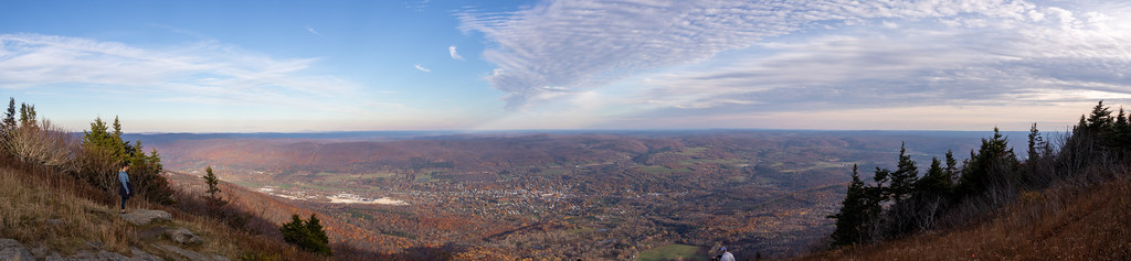 Photo: Ktr101, CC BY-SA 2.0 (via Flickr)
Bellows Pipe Trail
~14 min drive
Bellows Pipe Trail is a 1.08-mile out-and-back hike in Massachusetts.
Photo: }{enry, CC BY 2.0 (via Flickr)Pond Loop Trail
~9 min drive
2.07-mile out-and-back pond trail in Massachusetts with 381 ft gain.
HIKE
Sucker Pond
~10 min drive
9.02-mile out-and-back trail in Vermont with 373 ft elevation gain.
