Cascades Trail
- 0.7 mi
- round trip
- 438 ft
- climb
- 911 ft
- high point
- Out and back
- route
- Sep
- best months
Cascades Trail is a short, easy out-and-back hike in Massachusetts, set within The Cascades on city-managed land. The route is about 1.4 miles long, with a total elevation gain of 438 feet, and it reaches a high point of 911 feet. The trail is rated easy, and the climb is gentle, with the steepest stretch at about 0.48 miles in, where the grade reaches 9 percent. The most comfortable months for a visit are late spring through early fall. Typical averages from a nearby weather station in North Adams show June highs around 76°F and September highs around 72°F, with July the warmest month at about 81°F. That station sits roughly 250 feet lower than the trail's high point, so temperatures on the summit run a little cooler. The trip takes about half an hour, so it works well as a quick outing. Wilbur's Clearing to Summit and Thoreau's Footsteps are both about 2 miles away, and Clark Crag offers climbing about 4.6 miles off. For an overnight stay, Old Seth Warner Shelter Site is about 5.9 miles away.
 Wilbur’s Clearing to SummitHikingPhoto: KimonBerlin, CC BY-SA 2.0 (via Flickr)2 mi
- Thoreau’s FootstepsHikingPhoto: KimonBerlin, CC BY-SA 2.0 (via Flickr)2 mi
- Clark CragRock climbing4.6 mi
- Old Seth Warner Shelter SiteCamping5.9 mi
- North Branch Hoosic RiverCanoeing6.8 mi
 Hoosic RiverCanoeingPhoto: John Phelan, CC BY 3.0 (via Wikimedia Commons)7.5 mi
- Monroe State ForestRock climbing7.6 mi
- Seth Warner ShelterCamping7.8 mi
Source: Roamze catalog (indexable pages within 10 miles, PostGIS distance)
- Wilbur’s Clearing to SummitHiking · ~3 min drivePhoto: KimonBerlin, CC BY-SA 2.0 (via Flickr)
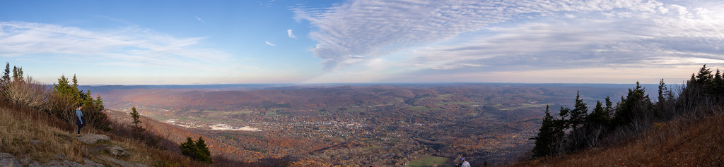 Bellows Pipe TrailHiking · ~6 min drivePhoto: Ktr101, CC BY-SA 2.0 (via Flickr)
- Broad BrookHiking · ~8 min drive
- Appalachian Trail/long TrailHiking · ~11 min drive
- Thoreau’s FootstepsHiking · ~3 min drivePhoto: KimonBerlin, CC BY-SA 2.0 (via Flickr)
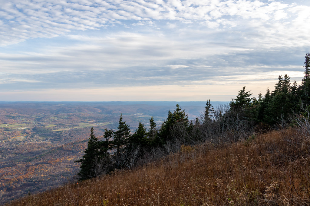 Gould TrailHiking · ~8 min drivePhoto: Ktr101, CC BY-SA 2.0 (via Flickr)
 Pond Loop TrailHiking · ~7 min drivePhoto: }{enry, CC BY 2.0 (via Flickr)
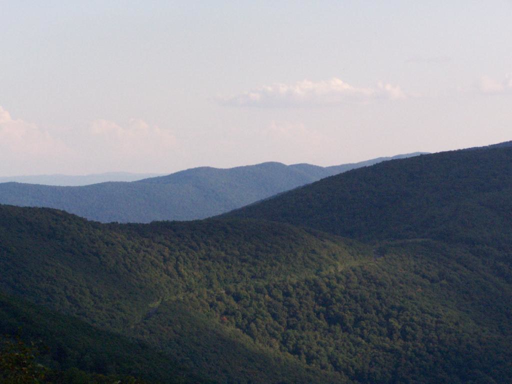 Birch Brook TrailHiking · ~14 min drivePhoto: andyarthur, CC BY 2.0 (via Flickr)
- Vermont Line TrailHiking · ~7 min drivePhoto: }{enry, CC BY 2.0 (via Flickr)
- Overlook TrailHiking · ~7 min drive
Best time to visit Cascades Trail
Best months: September. Best months have typical highs of 55–85 °F, lows of 30 °F or warmer (32 °F where the station doesn't record snow), at most one snowy day and no more than 12 wet days.
Jan
32° / 14°
12 wet
Feb
35° / 15°
10 wet
Mar
44° / 24°
12 wet
Apr
57° / 33°
13 wet
May
69° / 44°
14 wet
Jun
76° / 53°
15 wet
Jul
81° / 58°
14 wet
Aug
79° / 56°
14 wet
Sep
72° / 49°
12 wet
Oct
60° / 38°
13 wet
Nov
48° / 30°
12 wet
Dec
38° / 22°
13 wet
Typical high / low (°F) and days with rain or snow, 1991–2020. Measured at North Adams Harriman Ap, MA, 2.1 mi away at 654 ft. This station doesn't record snowfall. Source: NOAA NCEI U.S. Climate Normals 1991–2020.
Map and trail data © OpenStreetMap contributors
