Rocky Run Shelters
Campground
Campground · 1.0 mi from the trail
Closure in the area
There's a closure order in Appalachian National Scenic Trail. It doesn't name White Rocks Trail, so check the source for the area it covers.
List of trail closures post-Hurricane Helene
Park closure covering Appalachian National Scenic Trail · NPS · Appalachian National Scenic Trail
Black Bears Frequenting the McAfee Knob Area in Virginia
Park alert covering Appalachian National Scenic Trail · NPS · Appalachian National Scenic Trail
As of · Source: NPS · Appalachian National Scenic Trail. Agencies don't list every closure — check before you go.
White Rocks Trail is a moderate hike in Maryland, set within South Mountain State Park and along the Appalachian National Scenic Trail. The State Department of Natural Resources manages the land. The trail is an out-and-back of about 1.7 miles, with a total climb of 1,502 feet, and the route starts and ends near 1,578 feet. The highest point is 1,618 feet, and the steepest stretch, a 28% grade, comes just over 0.1 mile from the start. For comfortable weather, aim for late spring or early fall. Typical averages from a nearby weather station show May highs around 73°F and September highs around 75°F, with July the warmest month at about 84°F. That station sits at nearly the same elevation as the trail's high point. The trip takes about 1.5 hours. Gathland, a climbing area, lies about 1.7 miles away. The Interpretive Trail is about 2.9 miles off, and Rohrbach Group Campground is roughly 6.4 miles away.
Rocky Run Shelters
Campground
 If it rainsAcroterion, CC BY-SA 4.0 · Wikimedia Commons
Schifferstadt Architectural Museum
Museum
Places © OpenStreetMap contributors · Photos: Acroterion, CC BY-SA 4.0 (commons)
More in Ballenger CreekNot on Roamze yet. Their page has how to reach them.
Source: Roamze catalog (indexable pages within 10 miles, PostGIS distance)
 Snavely Ford TrailHiking · ~9 min drivePhoto: Michael Barera, CC BY-SA 4.0 (via Wikimedia Commons)
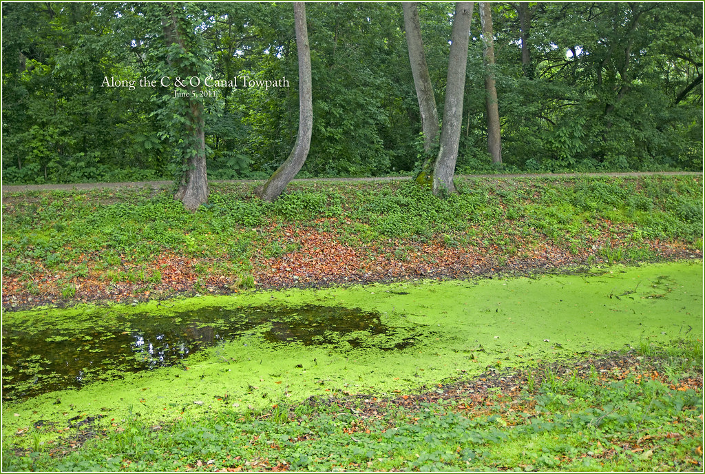 Chesapeake and Ohio Canal TrailHiking · ~11 min drivePhoto: Ron Cogswell, CC BY 2.0 (via Flickr)
 Green Ash TrailHiking · ~13 min drivePhoto: SridharSaraf, CC BY-SA 2.0 (via Flickr)
 Sherrick Farm TrailHiking · ~9 min drivePhoto: Michael Barera, CC BY-SA 4.0 (via Wikimedia Commons)Union Advance TrailHiking · ~9 min drivePhoto: Michael Barera, CC BY-SA 4.0 (via Wikimedia Commons)Final Attack TrailHiking · ~9 min drivePhoto: Michael Barera, CC BY-SA 4.0 (via Wikimedia Commons)
Best months: April and June–October. Best months have typical highs of 55–85 °F, lows of 30 °F or warmer (32 °F where the station doesn't record snow), at most one snowy day and no more than 12 wet days.
Jan
39° / 23°
10 wet
Feb
42° / 25°
9 wet
Mar
52° / 31°
12 wet
Apr
65° / 42°
12 wet
May
73° / 52°
14 wet
Jun
80° / 60°
12 wet
Jul
84° / 65°
12 wet
Aug
81° / 63°
12 wet
Sep
75° / 58°
11 wet
Oct
65° / 46°
11 wet
Nov
53° / 36°
11 wet
Dec
43° / 28°
10 wet
Typical high / low (°F) and days with rain or snow, 1991–2020. Measured at Catoctin Mtn Park, MD, 15.8 mi away at 1,610 ft. This station doesn't record snowfall. Source: NOAA NCEI U.S. Climate Normals 1991–2020.
Map and trail data © OpenStreetMap contributors

