Site 9
Campground
Campground · 0.4 mi from the trail
 Photo: Michael Barera, CC BY-SA 4.0 (via Wikimedia Commons)
No closures listed
The National Park Service lists no closures for Antietam National Battlefield.
As of · Source: NPS · Antietam National Battlefield. Agencies don't list every closure — check before you go.
Final Attack Trail is a short, easy loop in Antietam National Battlefield in Maryland, managed by the National Park Service. The trail is about 1.7 miles long, with a total elevation gain of 93 feet and a total loss of 153 feet, so it's a gentle walk that starts and ends close to the same elevation. The high point is about 441 feet, and the steepest stretch comes at roughly 0.29 miles in, with a grade of about 5 percent. The trail makes a good addition to a visit to the battlefield, and it sits close to several other routes. Snavely Ford Trail is just 0.1 mile away, and Hawkins-FA Connect and Union Advance Trail are each about 0.3 mile off. For an overnight stay, Rohrbach Group Campground is about 1.9 miles away.
Site 9
Campground
 If it rainsAcroterion, CC BY-SA 4.0 · Wikimedia Commons
Schifferstadt Architectural Museum
Museum
Places © OpenStreetMap contributors, Places © Overture Maps Foundation · Photos: Acroterion, CC BY-SA 4.0 (commons)
More in Ballenger CreekNot on Roamze yet. Their page has how to reach them.
Snavely Ford TrailHikingPhoto: Michael Barera, CC BY-SA 4.0 (via Wikimedia Commons)0.1 mi Hawkins-FA ConnectHikingPhoto: Ken Lund from Las Vegas, Nevada, USA, CC BY-SA 2.0 (via Wikimedia Commons)0.3 mi
 Union Advance TrailHikingPhoto: Michael Barera, CC BY-SA 4.0 (via Wikimedia Commons)0.3 miSherrick Farm TrailHikingPhoto: Michael Barera, CC BY-SA 4.0 (via Wikimedia Commons)0.3 mi
Source: Roamze catalog (indexable pages within 10 miles, PostGIS distance)
Snavely Ford TrailHiking · Next doorPhoto: Michael Barera, CC BY-SA 4.0 (via Wikimedia Commons)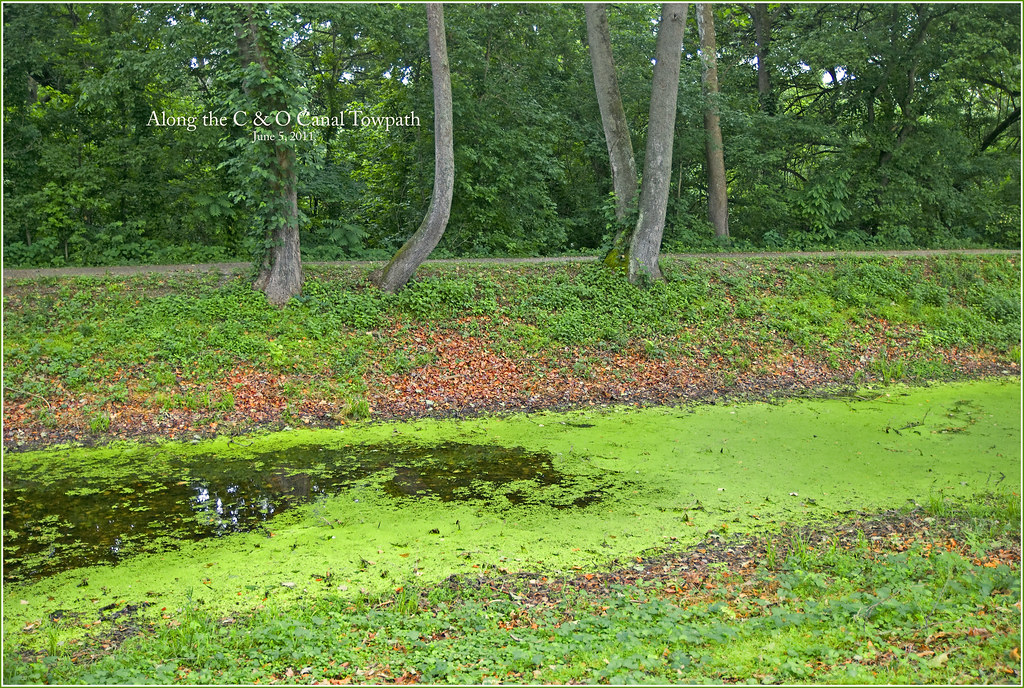 Chesapeake and Ohio Canal TrailHiking · ~4 min drivePhoto: Ron Cogswell, CC BY 2.0 (via Flickr)
 Chesapeake and Ohio Canal TrailHiking · ~10 min drivePhoto: Maryland Historical Society., Public domain (via Wikimedia Commons)Chesapeake and Ohio Canal TrailHiking · ~14 min drivePhoto: Maryland Historical Society., Public domain (via Wikimedia Commons)Hawkins-FA ConnectHiking · Next doorPhoto: Ken Lund from Las Vegas, Nevada, USA, CC BY-SA 2.0 (via Wikimedia Commons)Union Advance TrailHiking · Next doorPhoto: Michael Barera, CC BY-SA 4.0 (via Wikimedia Commons)Sherrick Farm TrailHiking · Next doorPhoto: Michael Barera, CC BY-SA 4.0 (via Wikimedia Commons)
Best months: April–June and August–November. Best months have typical highs of 55–85 °F, lows of 30 °F or warmer (32 °F where the station doesn't record snow), at most one snowy day and no more than 12 wet days.
Jan
41° / 21°
Feb
44° / 23°
Mar
53° / 29°
Apr
65° / 39°
May
74° / 49°
Jun
82° / 58°
Jul
86° / 62°
Aug
85° / 61°
Sep
78° / 54°
Oct
67° / 42°
Nov
56° / 32°
Dec
45° / 25°
Typical high / low (°F) and days with rain or snow, 1991–2020. Measured at Sharpsburg 5 S, MD, 3.5 mi away at 400 ft. This station doesn't record snowfall. Source: NOAA NCEI U.S. Climate Normals 1991–2020.


