Rock Run Area Campground
Campground
Campground · 0.7 mi from the trail
 Photo: SridharSaraf, CC BY-SA 2.0 (via Flickr)
Green Ash Trail is a 1.9-mile point-to-point hike in Maryland, about a mile from the town of Edgewood. It gains 321 feet of elevation, making it a moderate outing, and the trail is open to both horses and bikes. The trail starts at around 1,180 feet and climbs to 1,570 feet before descending a bit further to 1,090 feet. The steepest stretch comes early on, with a 43% grade at about 0.38 miles, so plan on moving at a steady pace through that section. For comfortable weather, aim for late spring or early fall. Typical averages from a nearby weather station show highs around 73°F in May and 75°F in September, while July highs reach about 84°F. Several other short trails sit close by, including Red Maple Trail, Yellow Poplar Trail and White Oak Trail, each about 0.4 miles away. Climbers can find Wave and J Walls about 3 miles off.
Rock Run Area Campground
Campground
 If it rainsAcroterion, CC BY-SA 4.0 · Wikimedia Commons
Schifferstadt Architectural Museum
Museum
Places © OpenStreetMap contributors, Places © Overture Maps Foundation · Photos: Acroterion, CC BY-SA 4.0 (commons)
More in Ballenger CreekNot on Roamze yet. Their page has how to reach them.
Daily highs and lows, wind and the chance of precipitation at the summit and route start for the next 7 days, from the Open-Meteo model.
Source: Roamze catalog (indexable pages within 10 miles, PostGIS distance)
 Junction TrailHiking · ~14 min drivePhoto: Ken Lund from Las Vegas, Nevada, USA, CC BY-SA 2.0 (via Wikimedia Commons)
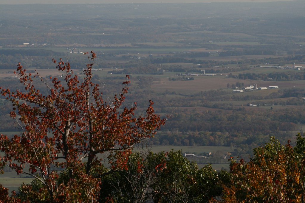 Bob’s Hill TrailHiking · ~16 min drivePhoto: PBoGS, CC BY-SA 2.0 (via Flickr)
 Best Farm TrailHiking · ~14 min drivePhoto: Ron Cogswell, CC BY 2.0 (via Flickr)
 Middle Ford Ferry Loop TrailHiking · ~15 min drivePhoto: Pete Giove-Fourwinds, CC BY-SA 3.0 (via Wikimedia Commons)
 0.2 MilesHiking · ~15 min drivePhoto: Ron Cogswell, CC BY 2.0 (via Flickr)Gambrill Mill TrailHiking · ~15 min drivePhoto: Ron Cogswell, CC BY 2.0 (via Flickr)
Best months: April and June–October. Best months have typical highs of 55–85 °F, lows of 30 °F or warmer (32 °F where the station doesn't record snow), at most one snowy day and no more than 12 wet days.
Jan
39° / 23°
10 wet
Feb
42° / 25°
9 wet
Mar
52° / 31°
12 wet
Apr
65° / 42°
12 wet
May
73° / 52°
14 wet
Jun
80° / 60°
12 wet
Jul
84° / 65°
12 wet
Aug
81° / 63°
12 wet
Sep
75° / 58°
11 wet
Oct
65° / 46°
11 wet
Nov
53° / 36°
11 wet
Dec
43° / 28°
10 wet
Typical high / low (°F) and days with rain or snow, 1991–2020. Measured at Catoctin Mtn Park, MD, 12.3 mi away at 1,610 ft. This station doesn't record snowfall. Source: NOAA NCEI U.S. Climate Normals 1991–2020.
About 1.9 mi.
About 321 ft of climbing round trip.
It is rated moderate.
About 0.5 hours round trip.
2: Black Locust Trail and Green Ash Trail.
Map and trail data © OpenStreetMap contributors

