Crampton Gap Shelter AT Camping Area
Campground
Campground · 0.4 mi from the trail
Interpretive Trail is a short 0.48-mile loop in Maryland with 172 feet of elevation gain and loss. The trail reaches a maximum elevation of 970 feet.
Crampton Gap Shelter AT Camping Area
Campground
 If it rainsAcroterion, CC BY-SA 4.0 · Wikimedia Commons
Schifferstadt Architectural Museum
Museum
Places © OpenStreetMap contributors, Places © Overture Maps Foundation · Photos: Acroterion, CC BY-SA 4.0 (commons)
More in Ballenger CreekNot on Roamze yet. Their page has how to reach them.
Source: Roamze catalog (indexable pages within 10 miles, PostGIS distance)
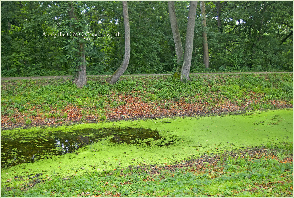 Chesapeake and Ohio Canal TrailHiking · ~10 min drivePhoto: Ron Cogswell, CC BY 2.0 (via Flickr)
 Snavely Ford TrailHiking · ~10 min drivePhoto: Michael Barera, CC BY-SA 4.0 (via Wikimedia Commons)Final Attack TrailHiking · ~10 min drivePhoto: Michael Barera, CC BY-SA 4.0 (via Wikimedia Commons)
 Union Advance TrailHiking · ~10 min drivePhoto: Michael Barera, CC BY-SA 4.0 (via Wikimedia Commons)Sherrick Farm TrailHiking · ~10 min drivePhoto: Michael Barera, CC BY-SA 4.0 (via Wikimedia Commons)
Also worth it near here
Best months: April–June and August–November. Best months have typical highs of 55–85 °F, lows of 30 °F or warmer (32 °F where the station doesn't record snow), at most one snowy day and no more than 12 wet days.
Jan
41° / 21°
Feb
44° / 23°
Mar
53° / 29°
Apr
65° / 39°
May
74° / 49°
Jun
82° / 58°
Jul
86° / 62°
Aug
85° / 61°
Sep
78° / 54°
Oct
67° / 42°
Nov
56° / 32°
Dec
45° / 25°
Typical high / low (°F) and days with rain or snow, 1991–2020. Measured at Sharpsburg 5 S, MD, 4.4 mi away at 400 ft. The station sits about 600 ft lower than this place, so expect it a little cooler here. This station doesn't record snowfall. Source: NOAA NCEI U.S. Climate Normals 1991–2020.
Map and trail data © OpenStreetMap contributors


