Rocky Run Shelters
Campground
Campground · 1.0 mi from the trail
 Photo: Joe Calzarette, Public domain (via Wikimedia Commons)
Closure in the area
There's a closure order in Appalachian National Scenic Trail. It doesn't name Lambs Knoll, so check the source for the area it covers.
List of trail closures post-Hurricane Helene
Park closure covering Appalachian National Scenic Trail · NPS · Appalachian National Scenic Trail
Black Bears Frequenting the McAfee Knob Area in Virginia
Park alert covering Appalachian National Scenic Trail · NPS · Appalachian National Scenic Trail
As of · Source: NPS · Appalachian National Scenic Trail. Agencies don't list every closure — check before you go.
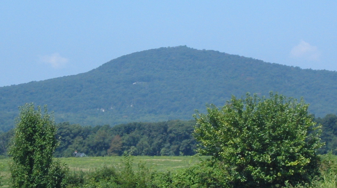
Lambs Knoll is a summit of 1,755 feet in Maryland, about 2.3 miles from the town of Rohrersville. It sits within the Appalachian National Scenic Trail corridor. For comfortable weather, aim for late spring or early fall. Typical averages from a nearby weather station show May highs around 73°F and September highs around 75°F, with July the warmest month at about 84°F. White Rocks Trail starts just 0.2 miles away, and the Gathland climbing area is about 1.8 miles off. The Interpretive Trail lies about 3 miles away, and Rohrbach Group Campground is roughly 6.6 miles away for an overnight base.
Rocky Run Shelters
Campground
 If it rainsAcroterion, CC BY-SA 4.0 · Wikimedia Commons
Schifferstadt Architectural Museum
Museum
Places © OpenStreetMap contributors · Photos: Acroterion, CC BY-SA 4.0 (commons)
More in Ballenger CreekDaily highs and lows, wind and the chance of precipitation at the summit for the next 7 days, from the Open-Meteo model.
Elevation from USGS 3D Elevation Program terrain data (about 10 m resolution).
We don't know of a mapped trail or route to the summit of Lambs Knoll. Plan the approach with local maps, a guidebook or a local guide, and check conditions before you go.
1,755 ft (535 m).
We don't know of a mapped trail or route to the summit. Plan the approach with local maps, a guidebook or a local guide.

Source: Roamze catalog (indexable pages within 10 miles, PostGIS distance)
 Monument KnobSummit · ~6 min drivePhoto: Zeete, CC BY-SA 4.0 (via Wikimedia Commons)
 Black RockSummit · ~15 min drivePhoto: Zeete, CC BY-SA 4.0 (via Wikimedia Commons)
 Short Hill MountainSummit · ~22 min drivePhoto: Arbogastlw, CC BY-SA 3.0 (via Wikimedia Commons)
 Furnace MountainSummit · ~23 min drivePhoto: Arbogastlw at English Wikipedia, Public domain (via Wikimedia Commons)Chimney RockSummit · ~28 min drivePhoto: Unknown authorUnknown author or not provided, Public domain (via Wikimedia Commons)
 Catoctin MountainSummit · ~28 min drivePhoto: Vegemighty (talk), CC0 (via Wikimedia Commons)Sugar Loaf MountainSummit · ~31 min drivePhoto: Lowell Silverman at English Wikipedia, Public domain (via Wikimedia Commons)
 High RockSummit · ~31 min drivePhoto: Acroterion, CC BY-SA 4.0 (via Wikimedia Commons)
 Raven RocksSummit · ~41 min drivePhoto: Mark Fickett, CC BY 3.0 (via Wikimedia Commons)
 Sleepy Creek MountainSummit · ~52 min drivePhoto: Arbogastlw, CC BY-SA 3.0 (via Wikimedia Commons)
Best months: April and June–October. Best months have typical highs of 55–85 °F, lows of 30 °F or warmer (32 °F where the station doesn't record snow), at most one snowy day and no more than 12 wet days.
Jan
39° / 23°
10 wet
Feb
42° / 25°
9 wet
Mar
52° / 31°
12 wet
Apr
65° / 42°
12 wet
May
73° / 52°
14 wet
Jun
80° / 60°
12 wet
Jul
84° / 65°
12 wet
Aug
81° / 63°
12 wet
Sep
75° / 58°
11 wet
Oct
65° / 46°
11 wet
Nov
53° / 36°
11 wet
Dec
43° / 28°
10 wet
Typical high / low (°F) and days with rain or snow, 1991–2020. Measured at Catoctin Mtn Park, MD, 15.6 mi away at 1,610 ft. This station doesn't record snowfall. Source: NOAA NCEI U.S. Climate Normals 1991–2020.

