Greenbrier State Park - Ash Campground
Campground
Campground · 0.6 mi from the trail
Closure in the area
There's a closure order in Appalachian National Scenic Trail. It doesn't name Bartmans Hill Trail, so check the source for the area it covers.
List of trail closures post-Hurricane Helene
Park closure covering Appalachian National Scenic Trail · NPS · Appalachian National Scenic Trail
Black Bears Frequenting the McAfee Knob Area in Virginia
Park alert covering Appalachian National Scenic Trail · NPS · Appalachian National Scenic Trail
As of · Source: NPS · Appalachian National Scenic Trail. Agencies don't list every closure — check before you go.
Bartmans Hill Trail is a 0.64-mile moderate hike in Maryland, set within the Appalachian National Scenic Trail corridor. The out-and-back route rises from a low of 886 feet to a high of 1,411 feet, with a total elevation gain of 1,050 feet. The steepest stretch comes early, with a grade of 22% at about 0.28 miles. The trip takes roughly an hour, and the trail's short length makes it easy to fold into a longer visit to the surrounding area. It sits along the Appalachian National Scenic Trail's path through Maryland. For timing, late spring and early fall are the most comfortable. Typical averages from a nearby weather station show May highs around 73°F and September highs around 75°F, with July peaking near 84°F. Winters are cold, with January highs near 39°F. The closest climbing areas are The South End, Fin Rock and Annapolis Rock, each about 2 miles away. White Rocks Trail lies about 6 miles off.
Greenbrier State Park - Ash Campground
Campground
 If it rainsAcroterion, CC BY-SA 4.0 · Wikimedia Commons
Schifferstadt Architectural Museum
Museum
Places © OpenStreetMap contributors, Places © Overture Maps Foundation · Photos: Acroterion, CC BY-SA 4.0 (commons)
More in Ballenger CreekNot on Roamze yet. Their page has how to reach them.
Daily highs and lows, wind and the chance of precipitation at the summit and route start for the next 7 days, from the Open-Meteo model.
Source: Roamze catalog (indexable pages within 10 miles, PostGIS distance)
 Green Ash TrailHiking · ~13 min drivePhoto: SridharSaraf, CC BY-SA 2.0 (via Flickr)
 3 Farms TrailHiking · ~13 min drivePhoto: Ken Lund from Las Vegas, Nevada, USA, CC BY-SA 2.0 (via Wikimedia Commons)
 Cat Rock TrailHiking · ~16 min drivePhoto: Nicolas Raymond from Bethesda, Maryland, USA, CC BY 2.0 (via Wikimedia Commons)
 Cornfield TrailHiking · ~13 min drivePhoto: Ken Lund from Las Vegas, Nevada, USA, CC BY-SA 2.0 (via Wikimedia Commons)
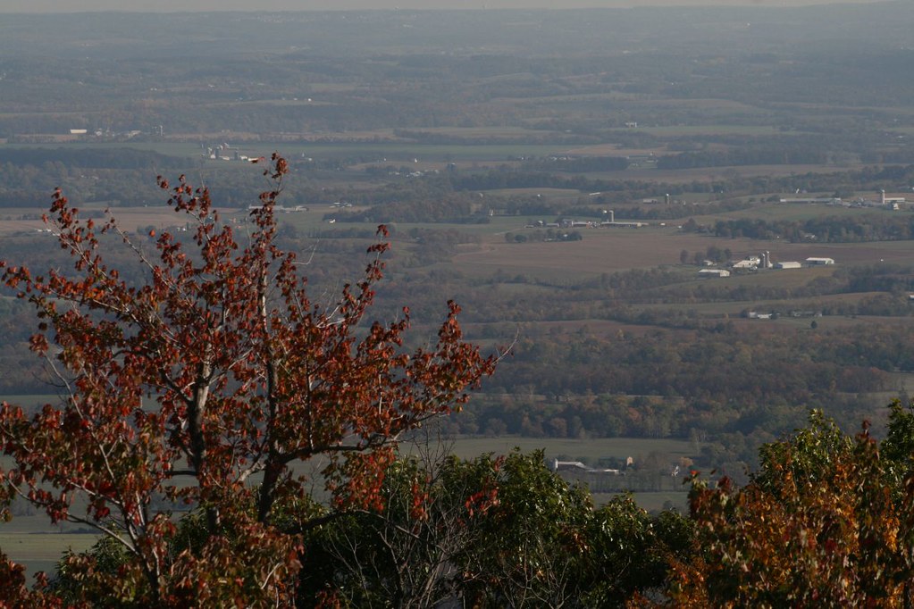 Bob’s Hill TrailHiking · ~16 min drivePhoto: PBoGS, CC BY-SA 2.0 (via Flickr)
 Cornfield TrailHiking · ~14 min drivePhoto: Ken Lund from Las Vegas, Nevada, USA, CC BY-SA 2.0 (via Wikimedia Commons)
 Lower TrailHiking · ~17 min drivePhoto: John Brighenti, CC BY 2.0 (via Flickr)
 Antietam RememberedHiking · ~14 min drivePhoto: Ken Lund from Las Vegas, Nevada, USA, CC BY-SA 2.0 (via Wikimedia Commons)Hog Rock Loop TrailHiking · ~18 min drivePhoto: John Brighenti, CC BY 2.0 (via Flickr)
Also worth it near here
Best months: April and June–October. Best months have typical highs of 55–85 °F, lows of 30 °F or warmer (32 °F where the station doesn't record snow), at most one snowy day and no more than 12 wet days.
Jan
39° / 23°
10 wet
Feb
42° / 25°
9 wet
Mar
52° / 31°
12 wet
Apr
65° / 42°
12 wet
May
73° / 52°
14 wet
Jun
80° / 60°
12 wet
Jul
84° / 65°
12 wet
Aug
81° / 63°
12 wet
Sep
75° / 58°
11 wet
Oct
65° / 46°
11 wet
Nov
53° / 36°
11 wet
Dec
43° / 28°
10 wet
Typical high / low (°F) and days with rain or snow, 1991–2020. Measured at Catoctin Mtn Park, MD, 10.4 mi away at 1,610 ft. This station doesn't record snowfall. Source: NOAA NCEI U.S. Climate Normals 1991–2020.
About 0.6 mi round trip.
About 1,050 ft of climbing round trip.
It is rated moderate.
About 0 hours round trip.
Map and trail data © OpenStreetMap contributors


