Sentier Des Urubus
- 2.5 mi
- one way
- 744 ft
- climb
- 1,928 ft
- high point
- Point to point
- route
- Sep
- best months
Sentier Des Urubus is a 2.5-mile point-to-point hike in Maine, a one-way route that reaches a high point of about 1,930 feet and drops to roughly 1,330 feet along the way. The trail is rated moderate, and hikers should expect rocky footing across its length. It works well as a straightforward outing that doesn't require retracing your steps, with a total climb of 744 feet from the start at about 1,730 feet to the top. Summer is the most comfortable time to go. A nearby weather station records typical July averages of about 76°F for highs and 53°F for lows, and the station sits several hundred feet lower than the trail, so temperatures on the higher ground run cooler. Winter is cold, with typical January highs around 21°F and lows near 0°F. The trip takes about an hour. The closest town is La Croix Depot, about 28 miles away. Sentier Du Pèlerin lies half a mile off, and Station de ski Mont-Orignal, a ski touring area, is about a mile away. Sentier Des Trois Piquets and Sentier éCologique De La Haute Etchemin are both within about 3.4 miles.
- Sentier Du PèlerinHiking0.5 mi
- Station de ski Mont-OrignalSki touring1 mi
- Sentier Des Trois PiquetsHiking1.9 mi
- Sentier éCologique De La Haute EtcheminHiking3.4 mi
- SentiersHiking7.2 mi
- Sentier Le Morne à MathiasHiking7.9 mi
- Sentier Le Morne à GirouxHiking8.5 mi
Source: Roamze catalog (indexable pages within 10 miles, PostGIS distance)
 Sentier Du Lac CaribouHiking · ~11 min drivePhoto: Marie Thérèse Hébert & Jean Robert Thibault, CC BY-SA 2.0 (via Flickr)
 Sentier Des GéantsHiking · ~24 min drivePhoto: Pierre-Arnaud KOPP from REIGNIER, France, CC BY 2.0 (via Wikimedia Commons)
 Sentier De La TraverséeHiking · ~28 min drivePhoto: sambouchard418, CC BY-SA 2.0 (via Flickr)
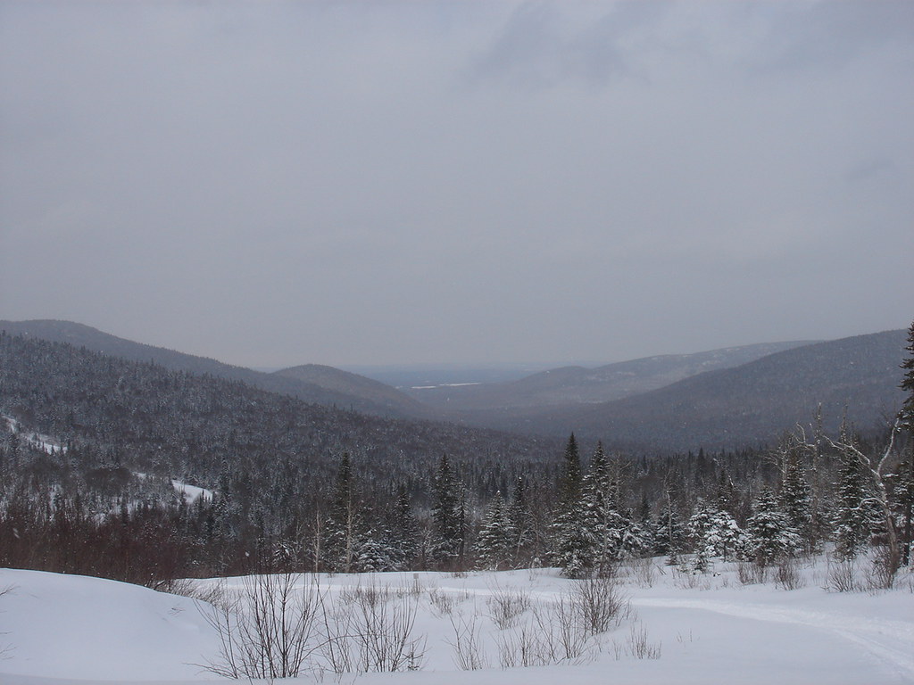 Sentier Du Versant SudHiking · ~22 min drivePhoto: sambouchard418, CC BY-SA 2.0 (via Flickr)
 Sentier Des DryadesHiking · ~24 min drivePhoto: Pierre-Arnaud KOPP from REIGNIER, France, CC BY 2.0 (via Wikimedia Commons)
- Sentier Des OrignauxHiking · ~40 min drive
- Sentier De La SlousseHiking · ~24 min drivePhoto: Pierre-Arnaud KOPP from REIGNIER, France, CC BY 2.0 (via Wikimedia Commons)
- Sentier Du Mont-ChocolatHiking · ~25 min drivePhoto: Pierre-Arnaud KOPP from REIGNIER, France, CC BY 2.0 (via Wikimedia Commons)
- Sentier Des SourcesHiking · ~24 min drivePhoto: Pierre-Arnaud KOPP from REIGNIER, France, CC BY 2.0 (via Wikimedia Commons)
- Sentier Des RavagesHiking · ~27 min drivePhoto: Pierre-Arnaud KOPP from REIGNIER, France, CC BY 2.0 (via Wikimedia Commons)
Best time to visit Sentier Des Urubus
Best months: September. Best months have typical highs of 55–85 °F, lows of 30 °F or warmer (32 °F where the station doesn't record snow), at most one snowy day and no more than 12 wet days.
Jan
21° / 0°
13 wet
Feb
24° / -1°
11 wet
Mar
34° / 10°
12 wet
Apr
47° / 26°
11 wet
May
62° / 38°
14 wet
Jun
71° / 48°
15 wet
Jul
76° / 53°
15 wet
Aug
75° / 51°
14 wet
Sep
67° / 42°
12 wet
Oct
53° / 33°
13 wet
Nov
39° / 23°
14 wet
Dec
27° / 10°
15 wet
Typical high / low (°F) and days with rain or snow, 1991–2020. Measured at Pittston Farm, ME, 47.4 mi away at 1,100 ft. The station sits about 800 ft lower than this place, so expect it a little cooler here. This station doesn't record snowfall. Source: NOAA NCEI U.S. Climate Normals 1991–2020.

Map and trail data © OpenStreetMap contributors
