Sentier Des Ravages
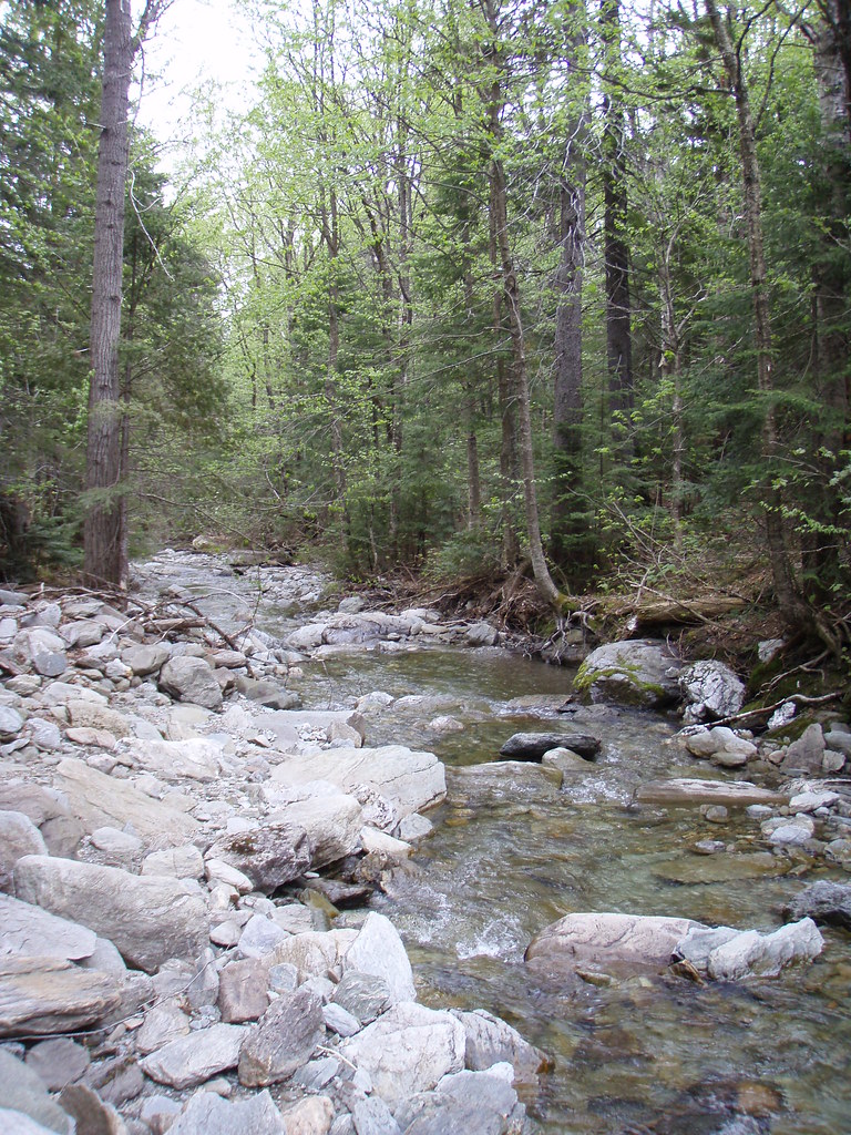
 Photo: Pierre-Arnaud KOPP from REIGNIER, France, CC BY 2.0 (via Wikimedia Commons)
- 4.0 mi
- one way
- 1,047 ft
- climb
- 2,716 ft
- high point
- Point to point
- route
Sentier Des Ravages is a 4-mile point-to-point hike in Maine, with a moderate rating and a total elevation gain of 1,047 feet. The route starts at about 1,646 feet and climbs to a high point of 2,716 feet, with the steepest stretch at about 3.2 miles in, where the grade reaches 26%. The nearest town is Daaquam, about 21 miles away. The hike is a single route rather than a loop, and it is not open to bikes. Plan for about two hours on foot. Several other trails sit close by. Sentier De La Traversée is half a mile away, and Sentier Des Passerelles is about a mile off. For winter, the Ascension ski touring area is about a mile away, and Sentier Du Mont-Chocolat is about 1.2 miles away.
 Sentier De La TraverséeHikingPhoto: sambouchard418, CC BY-SA 2.0 (via Flickr)0.5 mi
- Sentier Des PasserellesHikingPhoto: sambouchard418, CC BY-SA 2.0 (via Flickr)1 mi
- AscensionSki touring1 mi
- Sentier Du Mont-ChocolatHikingPhoto: Pierre-Arnaud KOPP from REIGNIER, France, CC BY 2.0 (via Wikimedia Commons)1.2 mi
- Ski de montagneSki touring1.3 mi
 Sentier Des ParoisHikingPhoto: sambouchard418, CC BY-SA 2.0 (via Flickr)1.3 mi
- Sentier De La Crête Des GrivesHiking1.3 mi
- Sentier ASki touring1.6 mi
Source: Roamze catalog (indexable pages within 10 miles, PostGIS distance)
- Sentier De La TraverséeHiking · Next doorPhoto: sambouchard418, CC BY-SA 2.0 (via Flickr)
- Sentier Des PasserellesHiking · ~2 min drivePhoto: sambouchard418, CC BY-SA 2.0 (via Flickr)
- Sentier Du Mont-ChocolatHiking · ~2 min drivePhoto: Pierre-Arnaud KOPP from REIGNIER, France, CC BY 2.0 (via Wikimedia Commons)
- Sentier Des OrignauxHiking · ~15 min drive
- Sentier Des ParoisHiking · ~2 min drivePhoto: sambouchard418, CC BY-SA 2.0 (via Flickr)
- Sentier Des DryadesHiking · ~4 min drivePhoto: Pierre-Arnaud KOPP from REIGNIER, France, CC BY 2.0 (via Wikimedia Commons)
 Sentier Des SourcesHiking · ~4 min drivePhoto: Pierre-Arnaud KOPP from REIGNIER, France, CC BY 2.0 (via Wikimedia Commons)
- Sentier Des GéantsHiking · ~4 min drivePhoto: Pierre-Arnaud KOPP from REIGNIER, France, CC BY 2.0 (via Wikimedia Commons)
- Sentier De La SlousseHiking · ~4 min drivePhoto: Pierre-Arnaud KOPP from REIGNIER, France, CC BY 2.0 (via Wikimedia Commons)
- Sentier De La Crête Des GrivesHiking · ~2 min drive

Map and trail data © OpenStreetMap contributors
